WFS
A Web Feature Service, in short WFS, is an OGC standard in where data is published and can be downloaded in (geo) data formats specified by the service.
Spatial data can be obtained by querying the service with additional parameters, specifying the request, version, layer and option bounding box, data format and coordinate system. Generally these requests can be performed using a browser or GET requests, on a WFS endpoint and with the additional parameters stated as query parameters.
Data provided by these requests can be visualized by a GIS (Geographical Information System) software such as the Tygron Platform, QGIS, ArcGIS Pro and ArcGIS Online.
One of the advantages of a WFS is that the data is accessible on the internet, so you can always access it (if there is internet) and you don’t have to carry files with you anymore. Also sharing data is more easily, since you just have to provide the WFS URL.
WFS sources used in the Tygron Platform
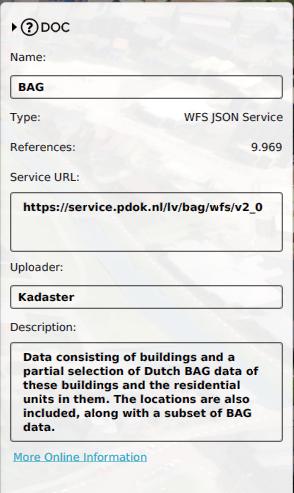
Each project created in the Tygron Platform has several default sources that store references to public Web Feature Services. When a Project is created for the Netherlands, some of these Web Feature Services are used to populate a project with Buildings, Terrains, Neighborhoods etc. These are:
- BAG: the base registration for Addresses and Buildings in the Netherlands.
- BRP: Gewaspercelen, a Dutch dataset containing the type of crops.
- CBS Buurten: CBS Wijk en Buurtkaart; a Dutch dataset from the CBS containing the geometries of neighborhoods in the Netherlands and statistical data about these neighborhoods.
- FGR: Fysisch geografische regio's; a Dutch dataset containing the types of land.
It is also possible to add new Web Feature Service links to your project, as Sources, and use these to obtain vector data to add to your project:
- using Geo Plugins at project creation;
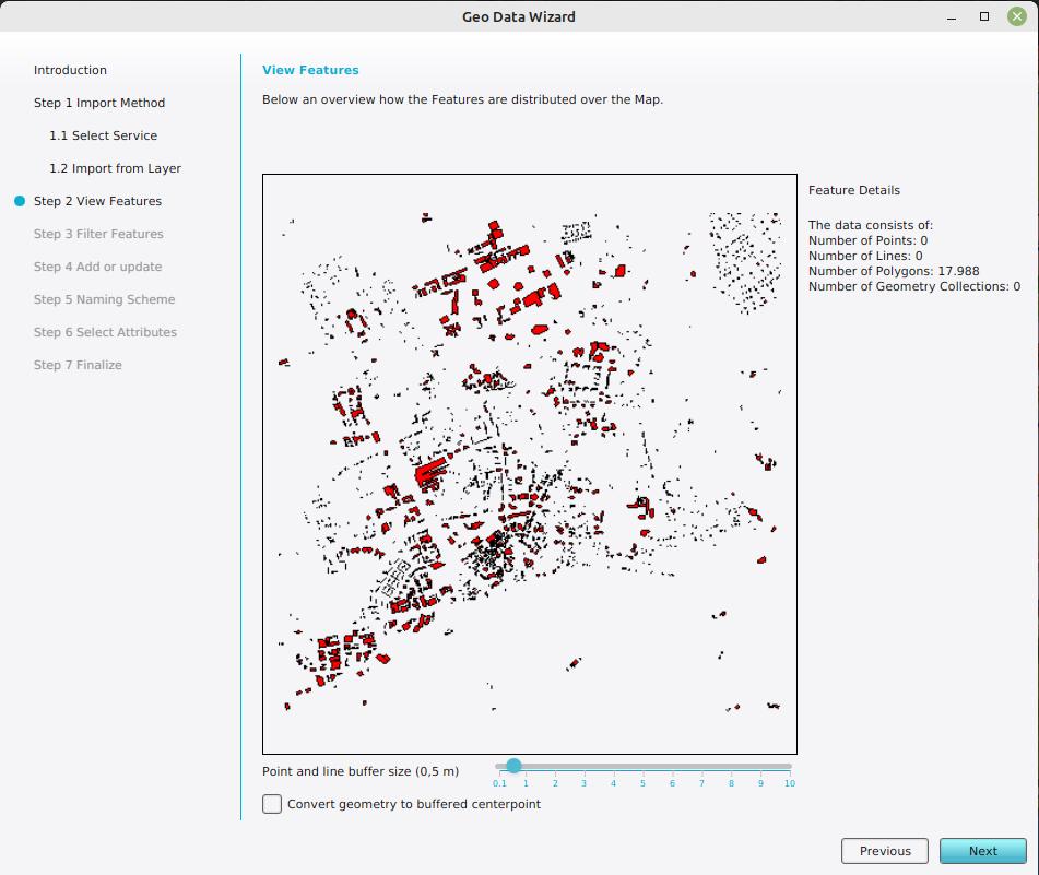
- using the Geo Data Wizard while running an editing session of your project.
The Tygron Platform's WFS endpoint
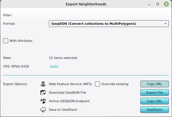
The geographical features in projects can also be accessed via WFS endpoints. When exporting any geographical vector data, one of the options is to copy the session's WFS url. This url can be used in any GIS application which supports WFS.
All Tygron WFS options inherit from a single endpoint URL:
https://engine.tygron.com/api/session/wfs
This endpoint exposes all available geographical data as individual layers. Each type of feature also has its own endpoint, which is accessible via each appropriate data type's export function. Accessing those endpoints directly may also expose a number of sub-layers, providing some filtering inherent to that type of data.
This buildings WFS endpoint provides a general layer containing all buildings and a set of category specific layers:
https://engine.tygron.com/api/session/wfs/buildings
WFS Endpoint for educational buildings:
https://engine.tygron.com/api/session/wfs/buildings-education
WFS Endpoint for education buildings having the attribute PRIMARY_SCHOOL:
https://engine.tygron.com/api/session/wfs/buildings-education-primary_school
Transaction support
Additionally, if you have a GIS application with support for WFS transactions (WFS-t), you can also modify the accessed features in the GIS application and publish them back to the Tygron Platform. The affected features will then be modified in the project as well. Data can only be modified in this way if the resulting data would be valid. I.e. constructions are not allowed to overlap.
Notes
It is currently not possible to add the Tygron Platform WFS to a Map in ArcGIS Online. This is because token-based authentication is not yet supported in ArcGIS Online. See for more information the documentation of ArcGIS Online about this topic: https://doc.arcgis.com/en/arcgis-online/reference/ogc.htm#ESRI_SECTION1_136F31FA3EFC4B0A875D4E590CE59550


