Ground bottom distance m (Water Overlay): Difference between revisions
Jump to navigation
Jump to search

No edit summary |
No edit summary |
||
| (One intermediate revision by the same user not shown) | |||
| Line 8: | Line 8: | ||
|defaultvalue=10 | |defaultvalue=10 | ||
|icon=waterwizard_icon_ground_bottom_distance_m.png | |icon=waterwizard_icon_ground_bottom_distance_m.png | ||
|range=0 to {{max surface}} | |||
}}</onlyinclude>}} | }}</onlyinclude>}} | ||
| Line 21: | Line 22: | ||
|seealso= | |seealso= | ||
* [[Bottom distance prequel (Water Overlay)]] | * [[Bottom distance prequel (Water Overlay)]] | ||
* [[Ground model (Water Overlay)]] | |||
}} | }} | ||
{{WaterOverlay model attribute nav}} | {{WaterOverlay model attribute nav}} | ||
Latest revision as of 14:44, 5 March 2024

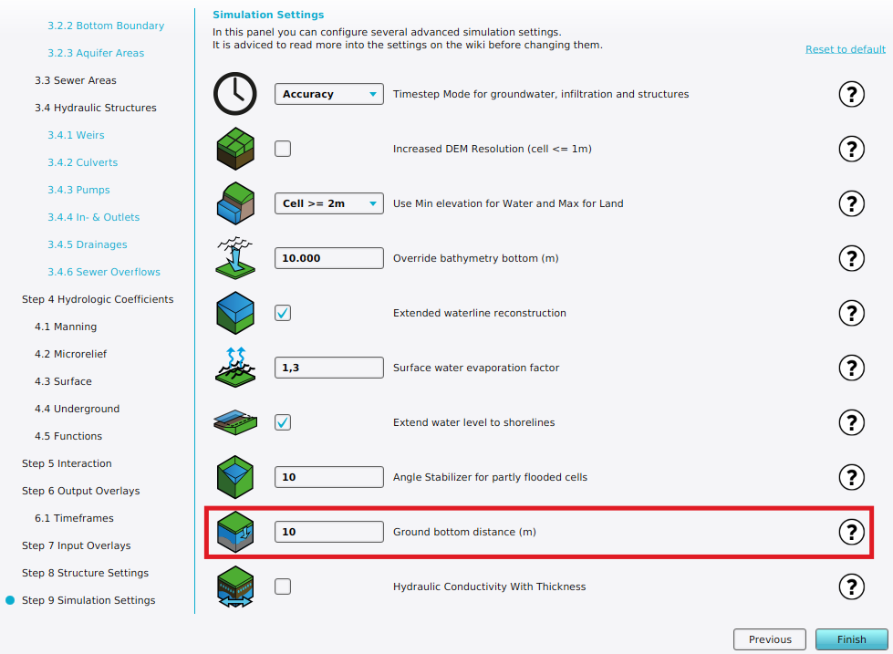
The ground bottom distance m setting can be configured in the Simulation Settings step of a Water Overlay wizard when the Ground water mode is set to Complete.
| Icon | Attribute | Unit | Range | Description | Default value |
|---|---|---|---|---|---|
| |
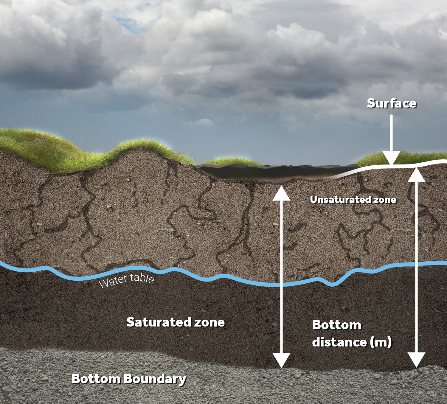
GROUND_BOTTOM_DISTANCE_M | m | 0 to 10000 | Assumed distance under the surface terrain where the bottom boundary is situated. | 10 |
The groundwater level cannot go below this depth, relative to the surface. The maximum amount of water that can be stored underground is equal to this attribute multiplied by the local terrain's WATER_STORAGE_PERCENTAGE.
Notes
- A varying ground bottom distance can be configured when using a Bottom distance prequel.


