Avg shore width m (Water Overlay)
Jump to navigation
Jump to search

| Icon | Attribute | Unit | Range | Description | Default value |
|---|---|---|---|---|---|
| |
AVG_SHORE_WIDTH_M | m | 0 to 10000 grid cells | With the surface water mode set to Grid Averaging, identified water average areas can be extended to include nearby shorelines within the configured distance. | 3 |
Water polygons supplied by Geo data often do not include the shorelines around it, which could still contain water due to overflowing. Additionally, shorelines are important for the interaction between ground water and water ways.
-
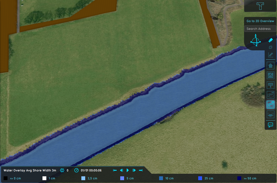 Water Overlay set to Grid Averaging Waterways and a configured average shore width of 3m.
 -
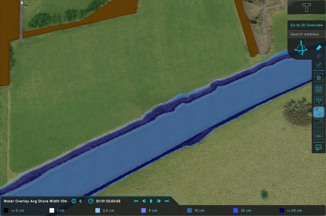 Water Overlay set to Grid Averaging Waterways and a configured average shore width of 10m.
 -
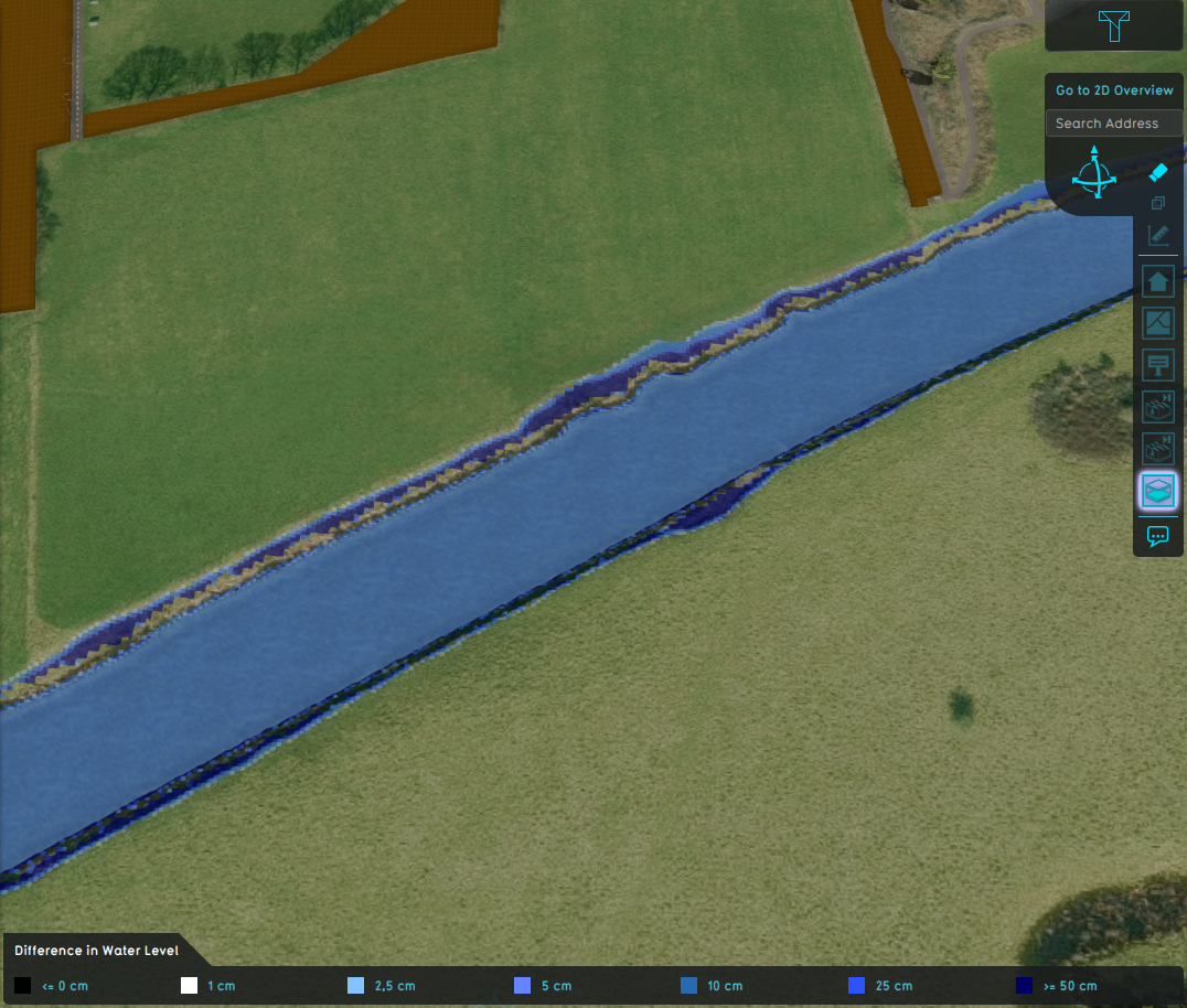 Difference in water level.


Notes
- This option is only used when the surface water mode is set to Grid Averaging.
- As indicated by the range, the average shore width is converted to a grid cell amount; the average shore width is divided by the grid cell size.
How-to's
API Endpoints


- Group
- Model attributes
- Allowed water increase m • Avg shore width m • Avg terrain width m • Avg terrain storage m • Breach measurement distance m • Bridge elevation • Culvert dem threshold m • Design flood elevation m • Ground bottom distance m • Ground bottom pressure m • Ground water • Ground water depth m • Ground watertable with surface • Impact flood threshold m • Impact range m • Increased resolution • Infiltration factor s
- Limit area • Limit rain • Max infiltration m • Max water bottom m • Microrelief storage fraction • Min max elevation • Object entry correction • Prequel surface level relative • Rise rate distance m • Sewer overflow threshold • Shoreline • Duration min level m • Stabilizer angle • Start date ms • Surface water • Surface water evaporation factor • Timeframe times • Timeframes • Trim manning • Trim evapotranspiration • Trim root depth • Trim ground infiltration • Trim ground conductivity • Trim shoreline conductivity
- Related