Heat Stress Overlay: Difference between revisions
(→Wizard) |
(→Wizard) |
||
| Line 20: | Line 20: | ||
==Wizard== | ==Wizard== | ||
The Heat Wizard is available in the [[Ribbon Bar|Ribbon bar]]. | |||
In the first step data to determine the influence from the sun can be added. | |||
* | * Per date you can specify your hours of interest | ||
* For each hour you add weather and sun values | |||
* Area | * the sun angles (altitude en azimuth) can be calculated automatically based on the project location and time zone. The Platform collects data on the time zone based on project location. | ||
* Geotiff | |||
In Step 2 data is added to determine the influence of trees. Trees are often only drawed and caculated by its trunk, however its crown is most important. That is why this module offers three options to choose from: | |||
* Based on the BGT (buildings that represent trees). Tree height multiplied by 'tree crown factor' determines wheterh the surrounding cells are in the shade. | |||
* Area geometries can be added from geojson or WFS service: this data must contain the tree height per area. | |||
* A Geotiff can be added which contains the tree height per cell | |||
==Calculations== | ==Calculations== | ||
Revision as of 10:47, 22 July 2019
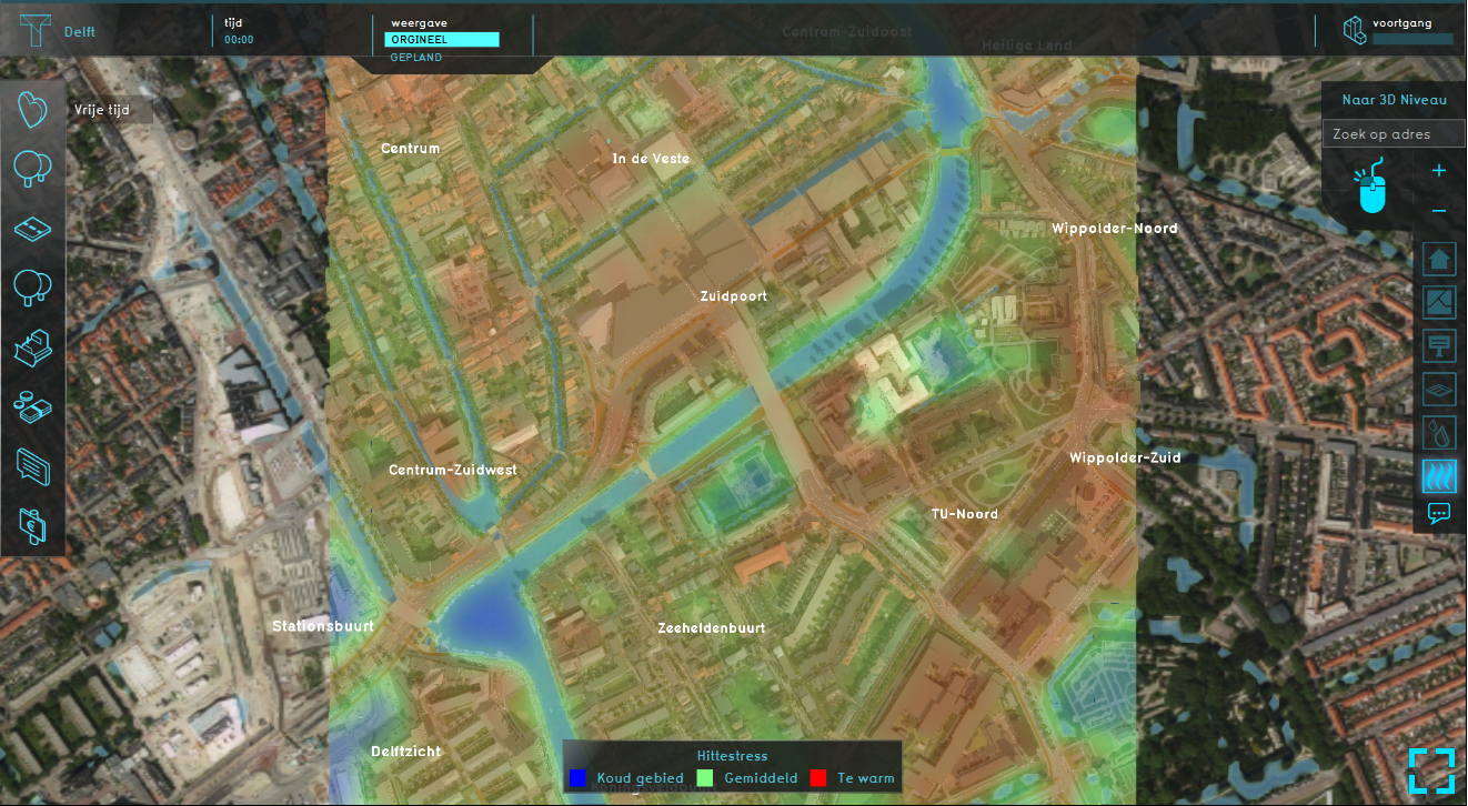
We are working on a new heat module in accordance to the new Dutch DPRA standards. This module is still under construction, as is the documentation, however a Beta version of the module is available on the Preview server for our partners.
Overlays
Several overlays with data that influence heat are available :
- The PET map (real feel temperature, wind chill). In accordance to the DPRA guideline: https://ruimtelijkeadaptatie.nl/stresstest/bijsluiter/hitte/pet-hittekaart/
- Foliage (map with tree heights)
- Shade
- Average Sky View
- Sky view (percentage sky view in relation to total view),
- UHI (Urban heat island effect)
- Temperature of atmosphere
- Vegetation average
- Vegetation (yes/no))
- Bowen ratio (evaporation ratio)
- Wind speed
De overlays are calculated by our cuda module
Wizard
The Heat Wizard is available in the Ribbon bar.
In the first step data to determine the influence from the sun can be added.
- Per date you can specify your hours of interest
- For each hour you add weather and sun values
- the sun angles (altitude en azimuth) can be calculated automatically based on the project location and time zone. The Platform collects data on the time zone based on project location.
In Step 2 data is added to determine the influence of trees. Trees are often only drawed and caculated by its trunk, however its crown is most important. That is why this module offers three options to choose from:
- Based on the BGT (buildings that represent trees). Tree height multiplied by 'tree crown factor' determines wheterh the surrounding cells are in the shade.
- Area geometries can be added from geojson or WFS service: this data must contain the tree height per area.
- A Geotiff can be added which contains the tree height per cell
Calculations
Heat is calculated in accordance to the Dutch standard for heat stress: https://ruimtelijkeadaptatie.nl/stresstest/bijsluiter/hitte/
How-to's
