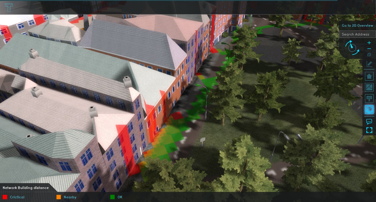
Network Distance Overlay
Read more about Beta features.
The Network Distance Overlay is a Grid Overlay which displays the distance (if any) between underground Net lines and Buildings which extend into the underground.
For each Grid cell, the depth of the Net line is compared to the presence of underground Buildings, and Buildings which are present in the underground. If a conflict is possible in a specific cell, the computed value for that cell is the smallest distance between any Net line and any Building.
Distance calculation
Net lines are checked for distance against both Buildings above ground and Buildings below ground. This is done based on the Function Values the Building has. The following details determine the extent of the Building in the underground for testing distance:
- The height offset of Buildings. This dictates the base of the Building.
- The basement depth and the root depth of Buildings added together. This makes the Building deeper than its base.
- The floor height of Buildings, multiplied by its amount of floors. In case the building belongs to the underground category, the floors extend downwards below the surface.
If the Net line's height passes through the extent of the Building, the computed distance is 0. Otherwise, the distance between either the top or the bottom of the Building is used.
Notes
- Net lines are not checked against the presence of other Net lines in the same cell.
- A Building's slating roof heights currently does not contribute to the height of the Building for the calculation of this Overlay.
- Net lines do not need to be explicitly active to be tested.
- This model does not yet work well for netlines with diameters larger than the grid size.
See also
