Elevation GeoTIFF
Jump to navigation
Jump to search
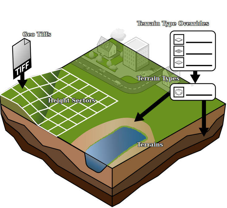
An Elevation GeoTIFF is a GeoTIFF that represents a subsection of the DTM, that can be used to update the current DTM in the Project.
How-to's
See also
