Elevation GeoTIFF
Revision as of 13:56, 21 October 2022 by Frank@tygron.nl (talk | contribs)
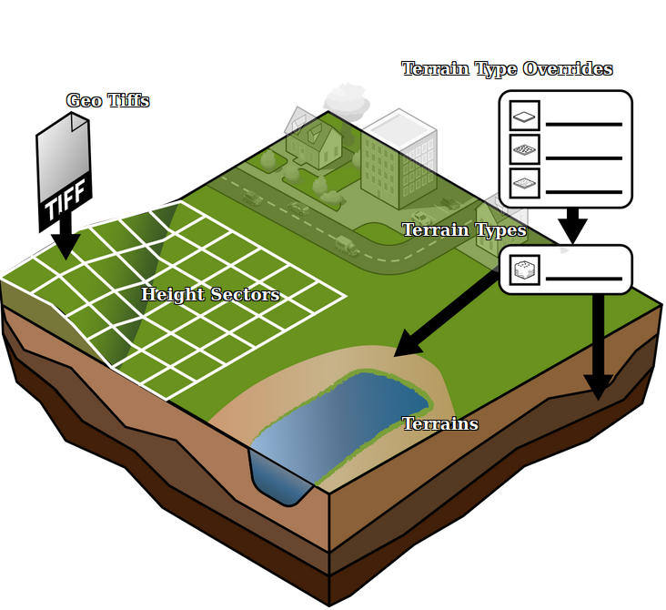
An Elevation GeoTIFF is a GeoTIFF that represents a subsection of the DTM, that can be used to update the current DTM in the Project.
How-to's
See also
- Digital Terrain Model Overlay
