GeoShare Viewer: Difference between revisions
No edit summary |
No edit summary |
||
| (2 intermediate revisions by 2 users not shown) | |||
| Line 10: | Line 10: | ||
* [[How to create a GeoShare Viewer]] | * [[How to create a GeoShare Viewer]] | ||
* [[How to create a GeoShare Viewer with multiple timeframes]] | * [[How to create a GeoShare Viewer with multiple timeframes]] | ||
* [[How to create a WFS for data on the GeoShare]] | |||
}} | }} | ||
{{GeoDataOverview}} | |||
Latest revision as of 14:22, 29 March 2024

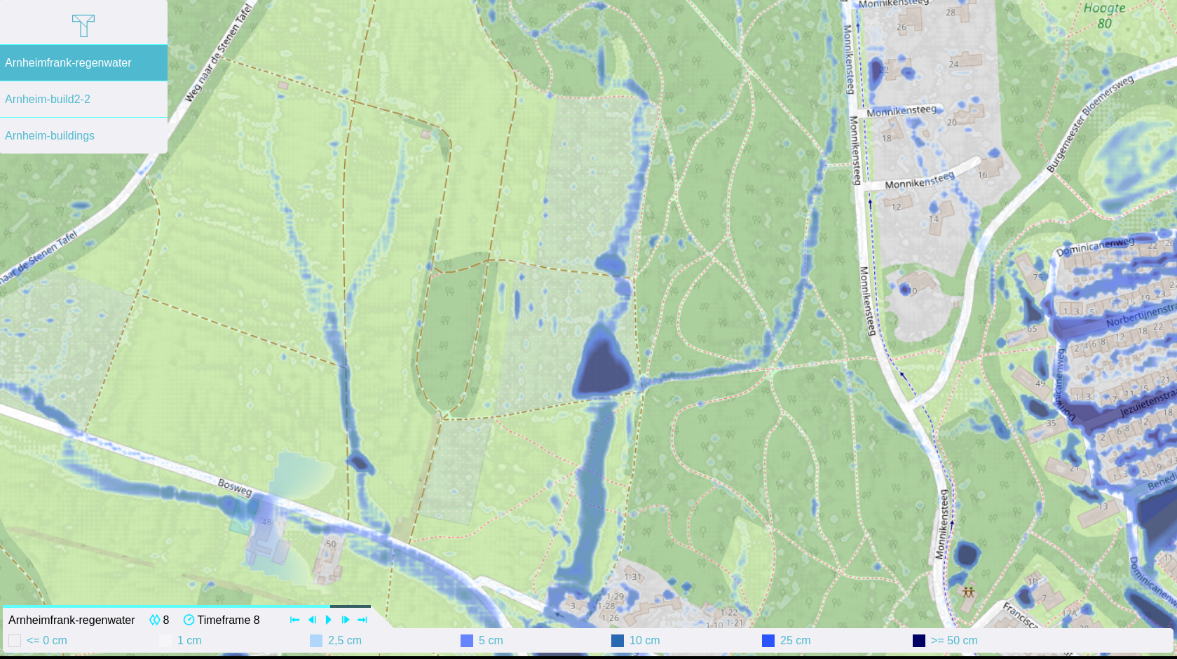
A GeoShare Viewer is a functional viewing application hosted on and served by the GeoShare. They can be used to share insight into geographical data GeoJSONs and GeoTIFFs in a user-friendly way, with their primary intended use being the sharing of results from calculations such as flood analyses or heat stress effects.
Like other Geo Data on the GeoShare, it is accessible through a url outside of running Sessions, regardless of the contents of the data. This will open a web-based interface in which the data of the viewer can be inspected or played, if the data consists of multiple timeframes. The extent of the viewer is based on the extent of the data which is part of it. The viewer can be configured to require a token for authentication.
GeoShare Viewers do not take up a significant amount of space on the GeoShare. However, the data a GeoShare Viewer relies on must continue to exist on the GeoShare.
How-to's