Watershed Module overview
Overview
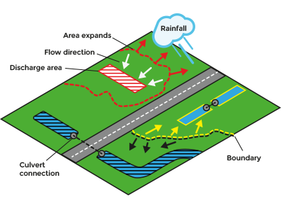
The watershed module calculates watersheds for rainfall based on a DTM or a calculated flow direction result of a Water Overlay. The watershed overlay can provide an indication into which waterway or -body rainfall will end up. Users can assign and group waterways and -bodies using discharge areas as input data. Additionally, culverts that connect waterways and bodies can be taken into account, which enables connected waterways and -bodies to be automatically assigned to the prioritized client-provided discharge areas. The general concept is:
- Rainfall simulation is done and generates a directional result.
- Discharge areas indicate the locations where rainfall will conceptually be discharged out of the system. Each discharge area will result in a watershed.
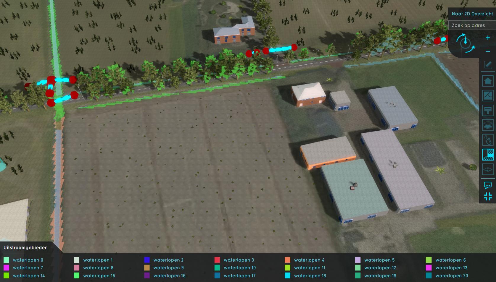
- Discharge areas are expanded along the waterways and culvert connections.
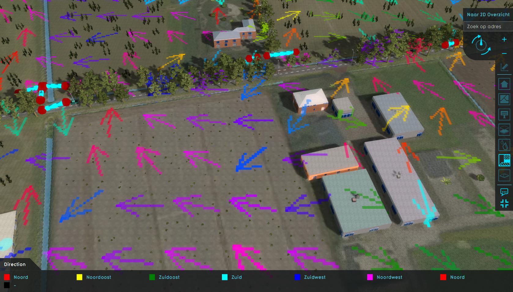
- Based on the direction the rainfall has moved in, the watersheds are gradually backtracked starting from the discharge areas. This is done for each watershed in parallel.
- On locations where the watersheds meet, the backtracking stops.
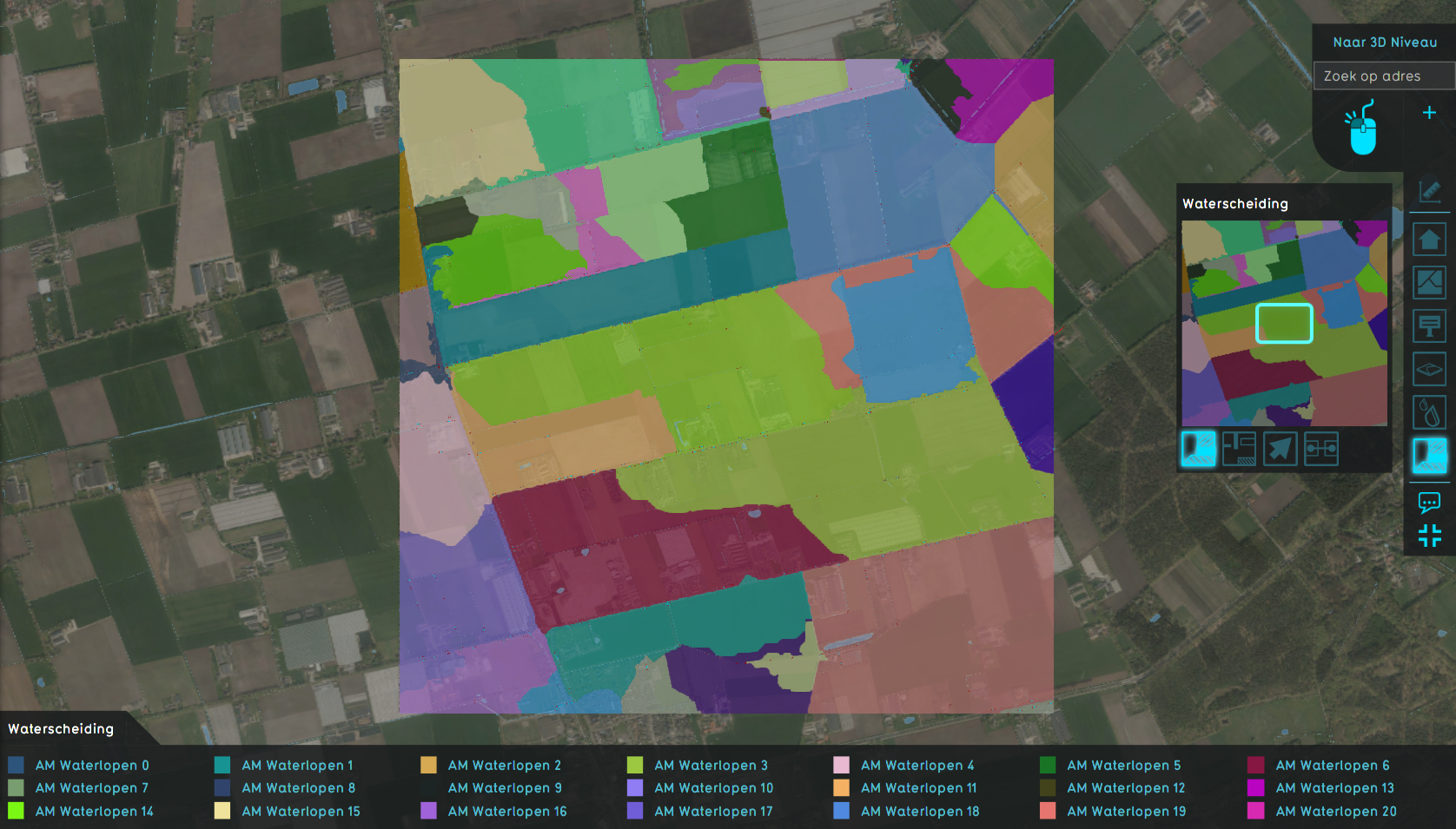
- The end result will be an overlay with unique id numbers corresponding to a watershed based on the initial discharge area.
This is the general concept, but there are variations on this concept:
- Terrain height can be used instead of a rainfall simulation. However, this approach suffers more from local mini and oversegmentation.
- Discharge areas are advised but not required. Optionally, each waterway and waterbody can be identified as a unique discharge area, in turn resulting into unique watersheds.
Input
- Water terrains;
- Discharge areas (Advised);
- Either:
- Water Overlay's surface average direction result type;
- Digital terrain model (DTM).
- Culverts (Optional): Culverts are only taken into account when based on the surface average direction result type, because the culverts are identified based on the configuration of that water overlay.
- Note that culverts can now be generated using the Water Connection Generator.
Options
- Discharge remaining water: Create additional discharge areas for waterways and bodies that are not connected by culverts to discharge areas.
- Minimal area: Only waterways and bodies with the required minimum size can become an additional discharge areas.
- Discharge method:
- Height minima: Restricted to height map input data
- Water terrains: Restricted to directional data. Each water body is a separate discharge area.
- Specific areas: Restricted to directional data. Provided discharge areas are prioritized and set as input for watersheds. Water bodies that are connected by culverts to discharge area water bodies are assigned to that discharge area as well. Depending on the option "Discharge remaining water", the remaining water bodies are stored as a separate discharge area.
- Fill distance: unmatched cells are assigned to nearest watershed when within the provided distance.
- Culvert flow direction: When active, a water body is only connected to an other water body when the first flows to the second.
- Limit road: When active, the operation that assigns unmatched cells to the nearest watershed within the provided distance locally stops on cells that are roads.
Result Types


