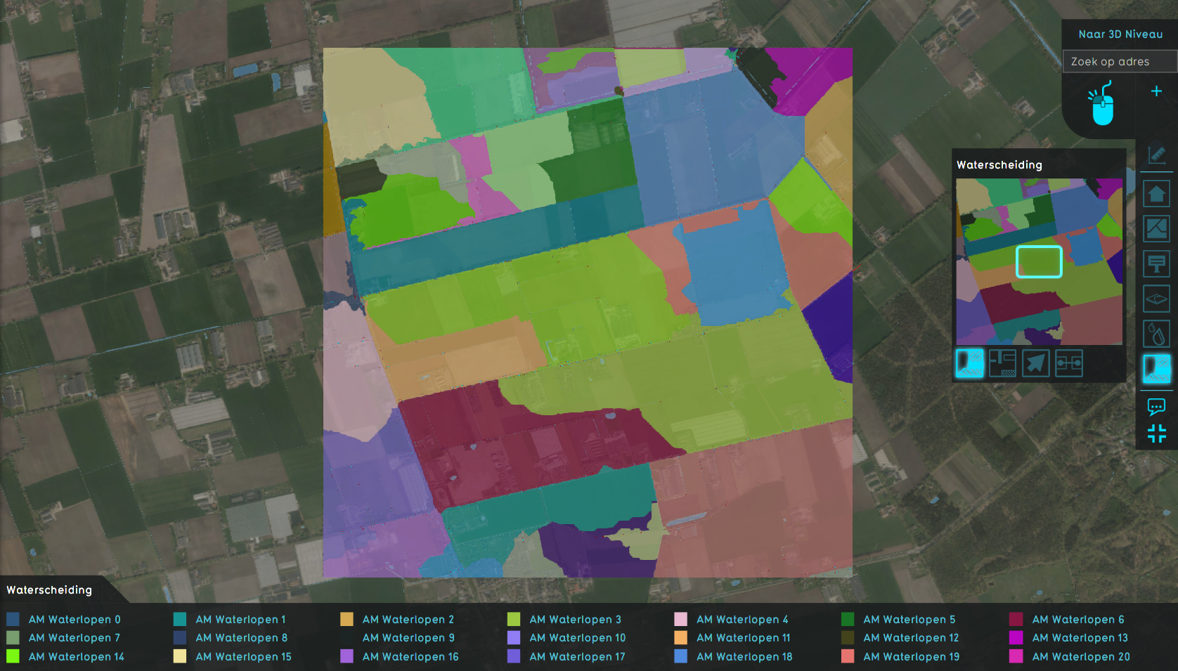
Watershed Module
Jump to navigation
Jump to search
The watershed module calculates the result for the following question:
I want to know into which waterway a set of rain drops will end up based on the terrain elevation and the starting location of the drops.
The locations of the drops that all end up in the same waterway can be grouped together to form a region called the watershed.
Watersheds applications
Watersheds can be used for the following:
- A client wants to know which waterways are the largest and therefore most important in his water system. This way, the client can manage maintenance and adjustments more appropriately.
- A client wants to validate its water system and find out if all major rainfall catchment areas are connected to the water system. For example, a client finds out that a human constructed water body plays a major roll in storing rain fall water but has no connection to the water system to discharge any excess.
- A client can use the watershed, in combination with the waterways this watershed belongs to, in our calculation models outside the Tygron Platform. For example, by using the watershed as a way to quantify how much rainfall a waterway will receive in grand scale, low detail water system calculations.
- A client has to solve disputes with landowners complaining about (the lack of) rainfall discharge on their land.


