How to adjust the height map with a Combo Overlay
Revision as of 07:23, 25 May 2022 by Rudolf@tygron.nl (talk | contribs) (Rudolf@tygron.nl moved page How to adjust the height map with a combo overlay. to How to adjust the height map with a combo overlay without leaving a redirect: No full-stop after titles)
It is now possibe to change the Digital Terrain Model (DTM) of a project, by using a Combo Overlay.
In the following example the roads of the project area will be lowered with 20cm - useful for e.g. simulating kerbs.
How to adjust the height map with a combo overlay.:
- Add a DTM Height Map Overlay to your project.
- Add an Average Overlay that selects a specified attibute. This can be a custom attribute or a more general one, such as NWB_ID.
- Add a Combo Overlay with the Height Map Overlay as input A, the Avg Overlay as input B, and with the formula: IF(GT(B, 0), SUB(A, 0.2), A).
- This Combo Overlay displays a height map with all roads 20 cm lower, and all other areas as they were.
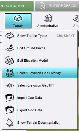
- Now use the Combo overlay in Current Situation > Terrain > Select Elevation Grid Overlay to implement the change on the elevation model and visualisation.
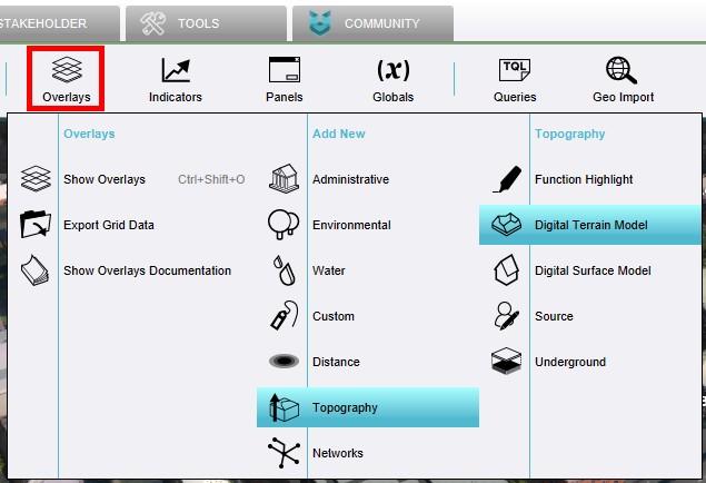
1. Add a DTM Height Map Overlay to your project.
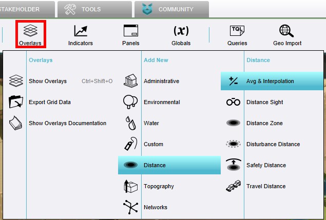
2.Add an Average Overlay that selects a specified attibute - NWB_ID.
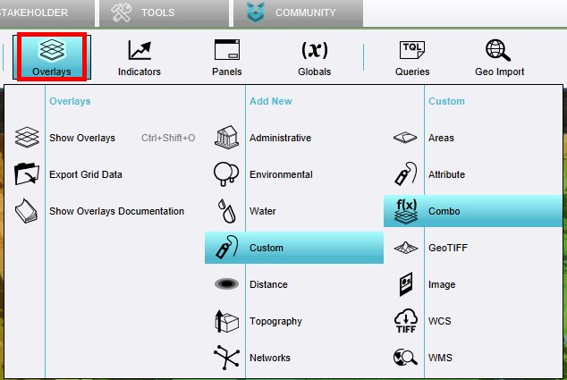
3. Add a Combo Overlay with the Height Map Overlay as input A, and the Avg Overlay as input B.
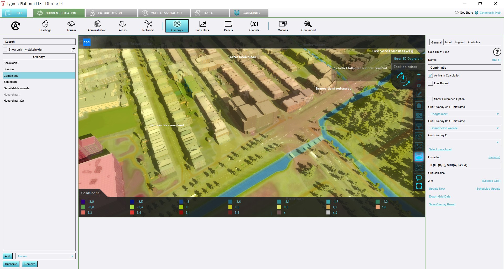
4. This Combo Overlay displays a height map with all roads (with NWB_ID as attribute) 20 cm lower, and all other areas as they were.
5 .Now use the Combo overlay in Current Situation > Terrain > Select Elevation Grid


