TiffSpatial: Difference between revisions
Jump to navigation
Jump to search
(Created page with "A TiffSpatial is a component of a Measure that stores spatial information on how to apply a set of GeoTIFFs to an area when the measure is activated.") |
No edit summary |
||
| (3 intermediate revisions by the same user not shown) | |||
| Line 1: | Line 1: | ||
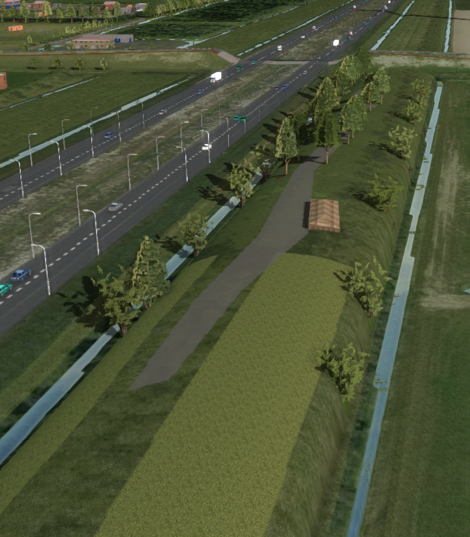
A TiffSpatial is a component of a [[Measure]] that stores spatial information on how to apply a set of [[GeoTIFF]]s to | [[File:GeoTIFF_measure_with_buildings.png|thumb|right|300px|Activated measure with a TiffSpatial and several buildings on top.]] | ||
A ''TiffSpatial'' is a component of a [[Measure]] that stores spatial information on how to apply a set of [[GeoTIFF]]s to the [[DTM]] when the measure is activated. The area to which the GeoTIFFs are applied can be restricted by specifying a MultiPolygon to the TiffSpatial. | |||
This MultiPolygon can either be: | |||
* Calculated automatically based on the configured GeoTIFFs for that TiffSpatial. | |||
* Configured manually by supplying a MultiPolygon, for example by drawing or importing. | |||
{{article end | |||
|notes= | |||
* You can add more than one GeoTIFF to a [[TiffSpatial]] of a measure. | |||
* You can manually provide a MultiPolygon to specify where the GeoTIFFs are applied. | |||
* No data values in a GeoTIFF are never applied to the [[DTM]]. | |||
|howtos= | |||
* [[How to add a GeoTIFF to a measure]] | |||
}} | |||
[[Category:Measure]][[Category:GeoTIFF]] | |||
Latest revision as of 10:02, 21 February 2023
A TiffSpatial is a component of a Measure that stores spatial information on how to apply a set of GeoTIFFs to the DTM when the measure is activated. The area to which the GeoTIFFs are applied can be restricted by specifying a MultiPolygon to the TiffSpatial.
This MultiPolygon can either be:
- Calculated automatically based on the configured GeoTIFFs for that TiffSpatial.
- Configured manually by supplying a MultiPolygon, for example by drawing or importing.
Notes
- You can add more than one GeoTIFF to a TiffSpatial of a measure.
- You can manually provide a MultiPolygon to specify where the GeoTIFFs are applied.
- No data values in a GeoTIFF are never applied to the DTM.
