Traffic NO2 (Indicator)
Traffic NO2 refers to the concentration of Nitrogen Dioxide (NO2) due to traffic density in a particular area.
How is the Traffic NO2 indicator implemented in the Tygron Platform?
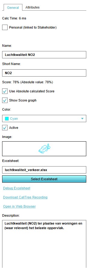
The Traffic NO2 indicator calculates how much buildings in a particular area suffer from a too high concentration of NO2 (in μg/m³) because of the traffic in that area.
The indicator scores based on the number of buildings that suffer from air pollution per area. A lower number of buildings suffering from NO2 pollution means a better score.
How is the Traffic NO2 visualized?
- Main article: Traffic NO2 (Overlay)
The Traffic NO2 indicator can be visualised using an overlay. This Traffic NO2 overlay displays the average concentration of NO2 for each part of the project detail area, giving an indication of the air pollution in that area.
This overlay becomes available for each stakeholder with an interest in the Traffic NO2 indicator.
Indicator targets
The Traffic NO2 indicator has 1 value for a target.
- Number of buildings that suffer from NO2 air pollution.
The number of buildings that suffer from air pollution in a particular area. The lower, the better.
Indicator properties
This indicator is a global indicator. This means the indicator and its target are the same for all stakeholders.
This indicator is represented with a progress bar, representing a scale of 0 to 100% score.
This indicator functions by calculation. The number of buildings that suffer from air pollution is substracted from the total number of houses in that area. From this a percentage of the air pollution in that area is derived.
This indicator scores per area. For each area, a score for the amount of air pollution is calculated. The score on this indicator as a whole is the average of the scores per area.
Stakeholders with this indicator also have access to the Traffic NO2 Overlay.
