How to fix a GeoTIFF that has an invalid NO DATA value
Jump to navigation
Jump to search
When importing a GeoTIFF into a Project, you may encounter the following error:

This error means that the metadata of the GeoTIFF for the NO_DATA value was written in the ','-number notation, instead of the expected '.'-number notation.
It is possible to fix the metadata of a GeoTIFF. You can download the free exiftool program to automatically adjust the NO_DATA-metadata.
How to fix a GeoTIFF that has an invalid NO DATA value:
- Download exiftool from https://exiftool.org/.
- Once downloaded, extract the files and go into the exiftool folder.
- Create a new file named "nodata.cmd". This will be our automated command file.
- Edit this file with a text editor (such as "Notepad").
- Paste the code provided below into the text editor and save.
- Drag your GeoTIFF file onto this cmd-file. A command prompt window will open.
- Verify that the file was changed and press Enter to continue.
- Note that the new metadata is now printed and verify that the GDAL No Data value is now correct.
- Try to import your GeoTIFF file into your project. It should no longer show the invalid NO_DATA error.
-
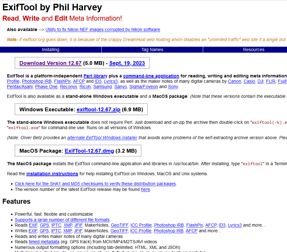 Exiftool's download page. Download the Windows zip.
 -
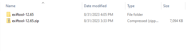 Once downloaded, extract the exiftool from the zip file.
 -
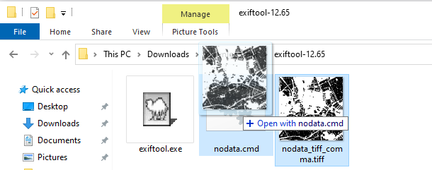
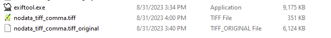 Folder with the exiftool and a GeoTIFF with invalid NO_DATA.
 -
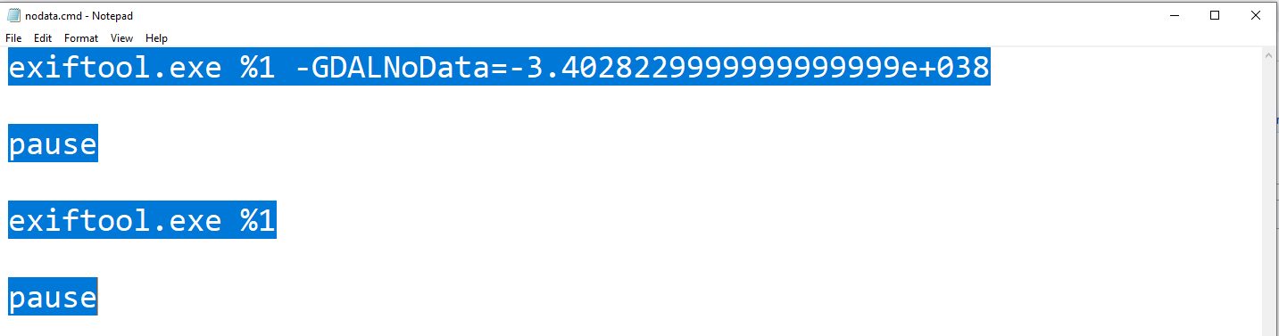 Editing the nodata.cmd file in a text editor
 -
 Dragging a GeoTIFF file onto the nodata.cmd file.
 -
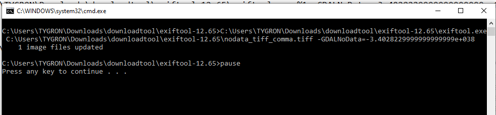 Command window opening and showing that data has changed.
 -
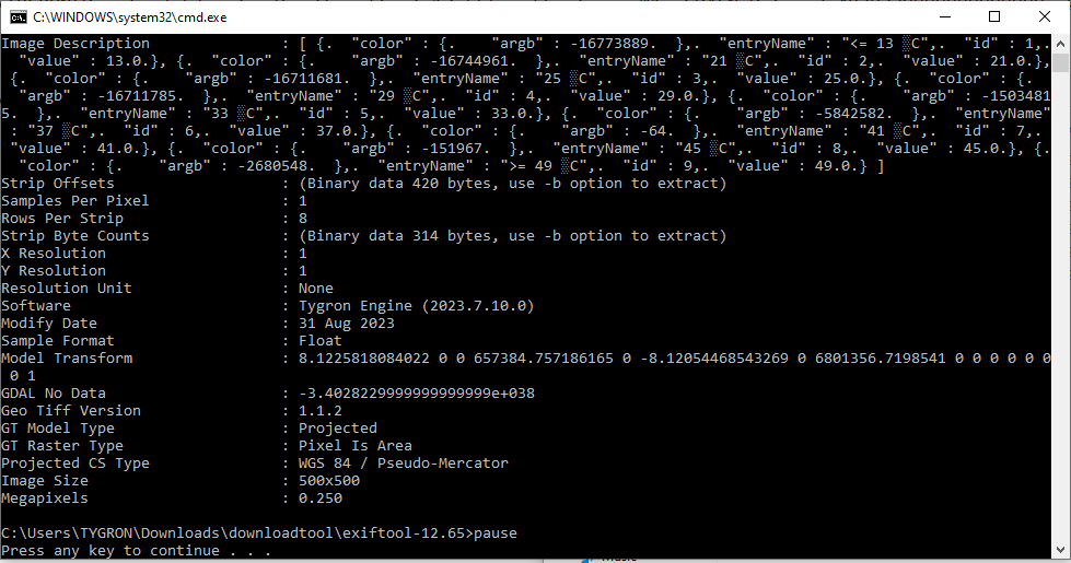 Command window showing the new metadata of the GeoTIFF.


Nodata.cmd code
The following code can be used in a cmd-file to automatically adjust the NO_DATA value of a GeoTIFF and prints the new meta-data values after pressing enter.
exiftool.exe %1 -GDALNoData=-3.4028229999999999999e+038
pause
exiftool.exe %1
pause
The %1 refers to the first argument used with our nodata.cmd file, in our case a GeoTIFF-file that you drag onto this cmd-file.
Notes
- You can also adjust the NO_DATA value to another value than -Infinity, for example to -999.