Visualize levee breach from water body inside project area use case (Water Overlay)
When a levee breaks water is free to flow through the breach and onto otherwise dry land. There are multiple ways of simulating a breach in a levee.
This scenario assumes the water body from which water will flow through the levee is located in the project area in its entirety.
Requirements
Before implementing this use-case, make sure you have a basic water model set up. For the specified scenario, the flooding overlay is required.
Also ensure the following in your project, if possible:
- The hydrological system has a SURFACE_LAST_VALUE or WATER_STRESS result type, either as main result or as a child result type.
- The simulation is set up to output a reasonable amount of timeframes. For a stabilization case, one timeframe per 12 hours of simulation time is reasonable.
Steps
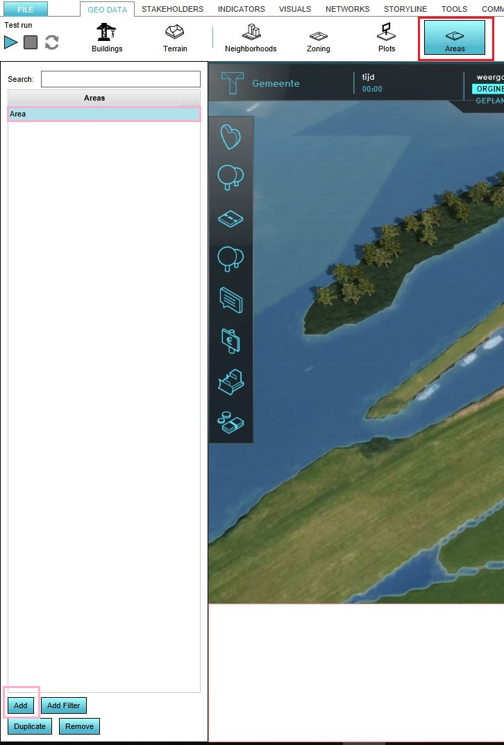
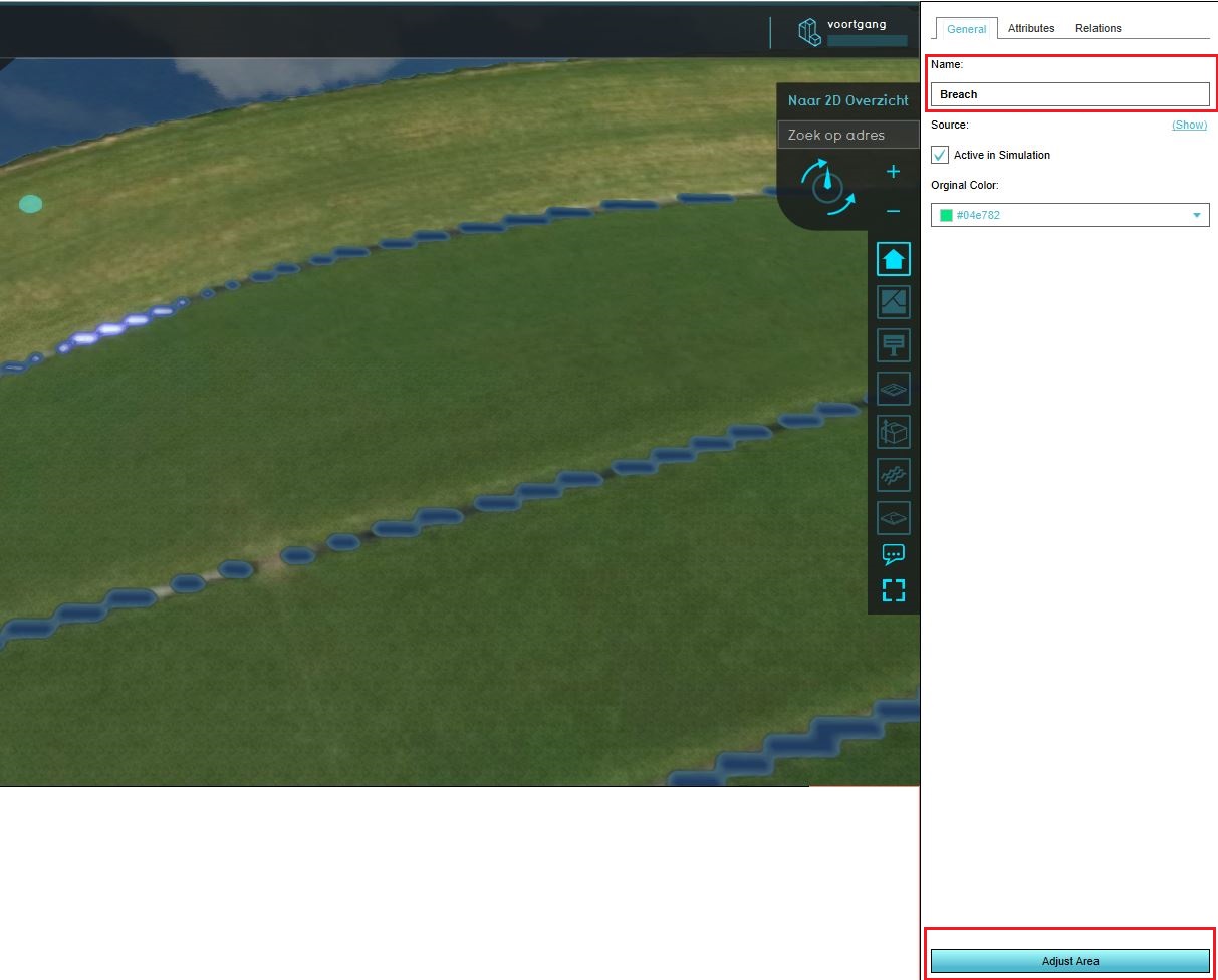
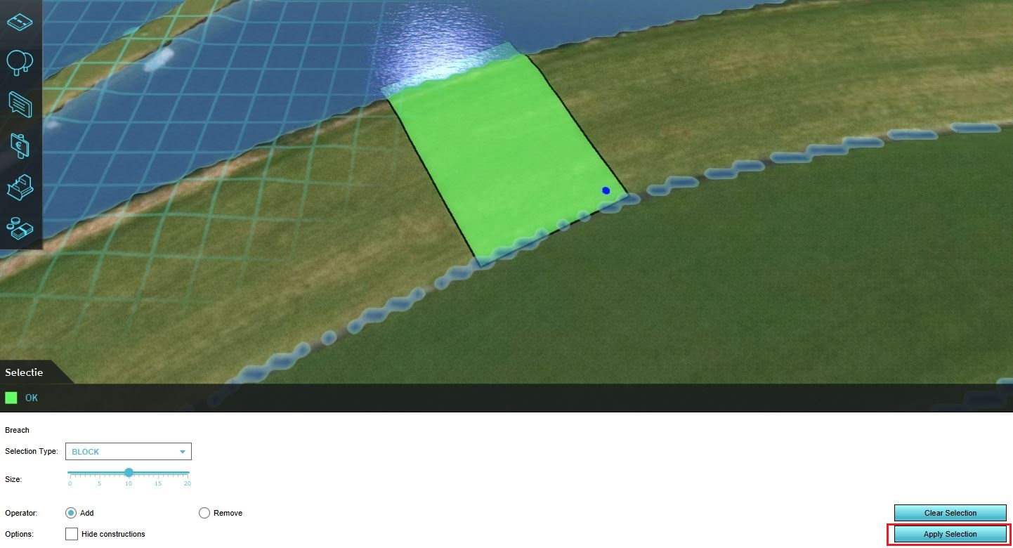
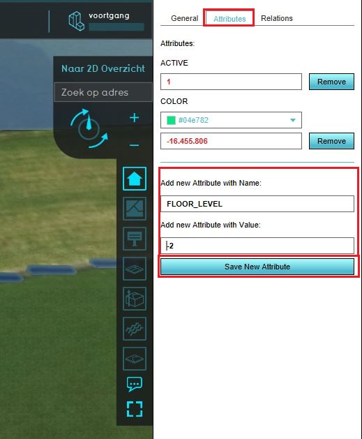
{{Editor steps|title=manually add a breach |Configure a base hydrological system. |Add a new Area to the project. |Draw the Area in the location where the breach should take place. Make sure it extends all the way from the water to the floodable land. |Add the [[Breach height (Water Overlay)|breach height] attribute to the Area. |Ensure the overlay is (re)calculated. |Inspect the "Surface last value" result overlay. |Select the "play" option in the overlay's legend. The animation will show the flow of the water from the breach. }}
Notes
Multiple breaches can be added to the same project.


