How to import a DWG file in ArcGIS Pro
Revision as of 11:34, 20 April 2020 by Godelief@tygron.com (talk | contribs)
A DWG (Drawing) is used in CAD software and can be exported from most 3D animation packages. Below the steps on how to import a 3D CAD file in DWG format in ArcGIS Pro.
How to import a DWG file into ArcGIS Pro:
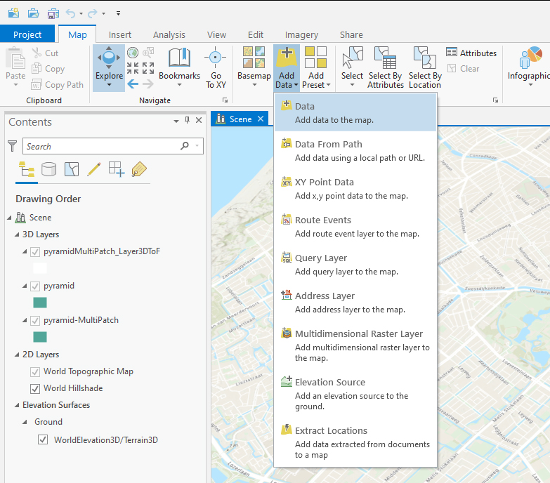
- In ArcGIS Pro go to the "Map" tab and select "Add Data"
- Choose the DWG file. If the file is not visible in the add Data panel, click on the refresh button (top right corner)
- Select the Multipatch layer
Notes
- An Autocad 2004 export works best to create an SLPK file
| <<Back to SLPK manual |
