Zoom Level
What is a Zoomlevel?
A Zoomlevel is the level on which the user interface can be zoomed In or Out and thereby changing the visualization. The Zoomlevel is used to adjusts the viewpoint of the interface for a user.
How does a Zoomlevel relate to the Tygron Platform?
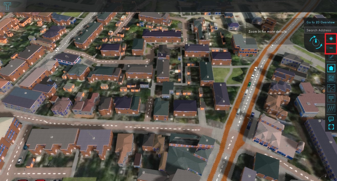
The Zoomlevel can be actively variated when using the interface. The zoom in function increases the amount of details on the map, thereby making features on the map more clear and enhancing the 3D aspect. When zooming out the Overview of the 3D model is improved, giving the user a better general impression. If a double-click is executed on the interface the 3D model will automatically zoom in.
Characteristics of the Zoomlevel
In the platfrom the various Zoom levels support the user in interacting with the 3D model.
Zoom levels
There are six different zoom levels, each Zoomlevel gives other view possibilities in the 3D model. For example, when fully zoomed out it will be more convinient for the user to have an overview of the notifications.
| Zoom level | Visibility |
|---|---|
| 1 | Overview of the map |
| 2 | Countrours |
| 3 | Large structures |
| 4 | Structure details |
| 5 | Birdview |
| 6 | Streeview |
Streetview
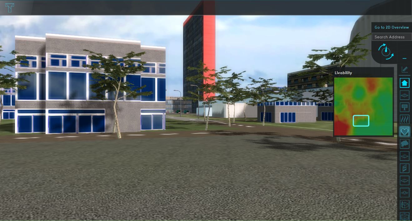
When completely zoomed in, the user enters the streetview mode. In this mode the user can walk around and explore the 3D model, the user can navigate using the arrow buttons or w-a-s-d key configuration.

