Uploads by Godelief@tygron.com
Jump to navigation
Jump to search
This special page shows all uploaded files.
| Date | Name | Thumbnail | Size | Description | Versions |
|---|---|---|---|---|---|
| 12:26, 3 November 2017 | Source overlay.JPG (file) |  |
144 KB | 2 | |
| 12:42, 3 November 2017 | Source overlay hover panel.JPG (file) | 17 KB | 1 | ||
| 15:41, 9 January 2018 | Customize.png (file) |  |
75 KB | 1 | |
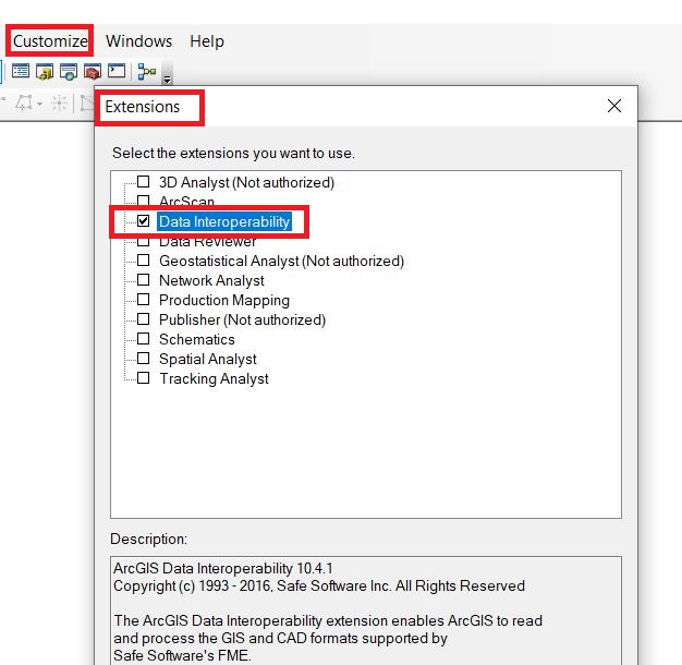
| 15:42, 9 January 2018 | Extensions.png (file) |  |
26 KB | 1 | |
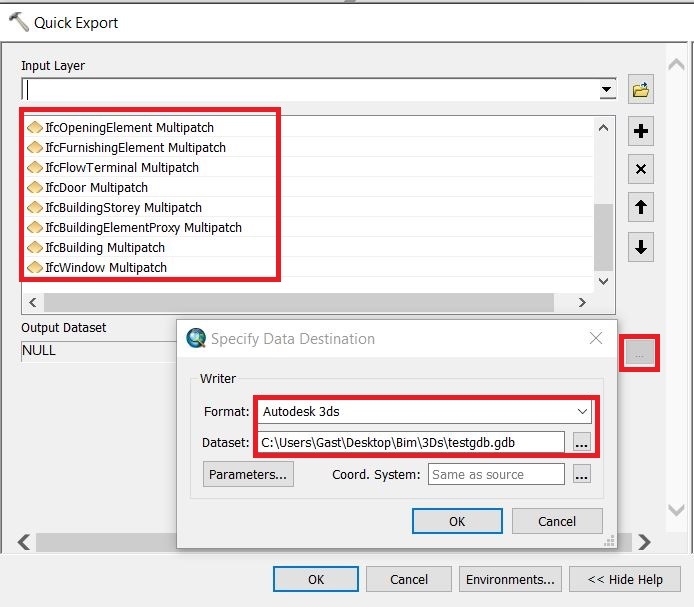
| 15:42, 9 January 2018 | Quick export.png (file) |  |
38 KB | 1 | |
| 15:43, 9 January 2018 | Quick export popup.png (file) |  |
57 KB | 1 | |
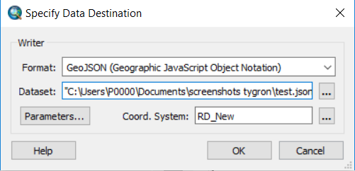
| 15:43, 9 January 2018 | Format location.png (file) |  |
33 KB | 1 | |
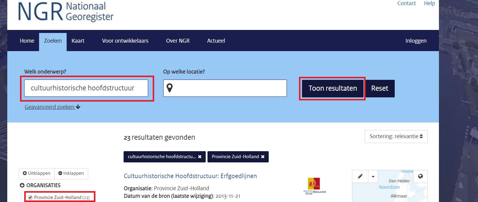
| 14:41, 18 March 2020 | Search ngr.JPG (file) |  |
154 KB | 1 | |
| 14:46, 18 March 2020 | Copy wfs url.JPG (file) |  |
202 KB | 1 | |
| 14:46, 18 March 2020 | Paste wfs.JPG (file) |  |
48 KB | 1 | |
| 14:58, 18 March 2020 | View area.JPG (file) |  |
354 KB | 1 | |
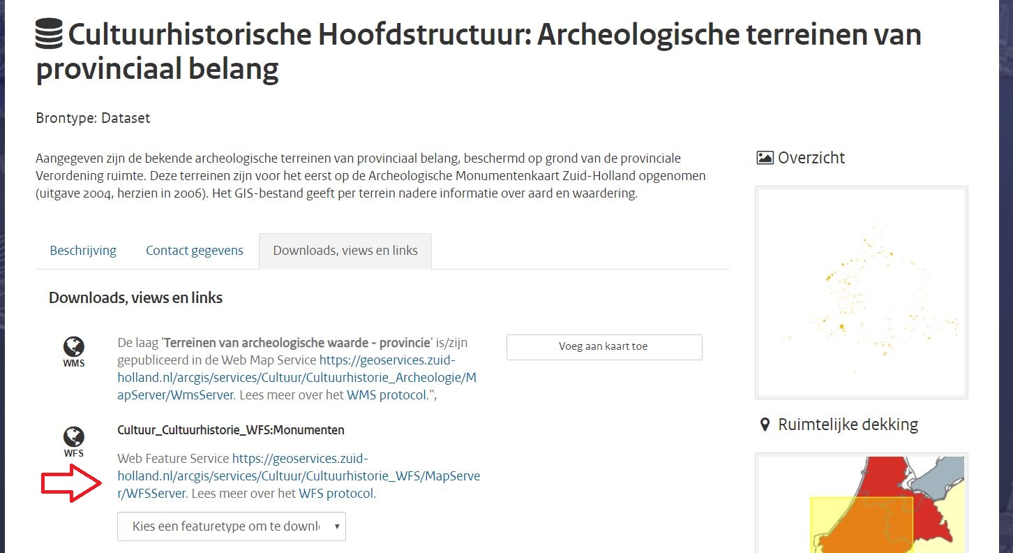
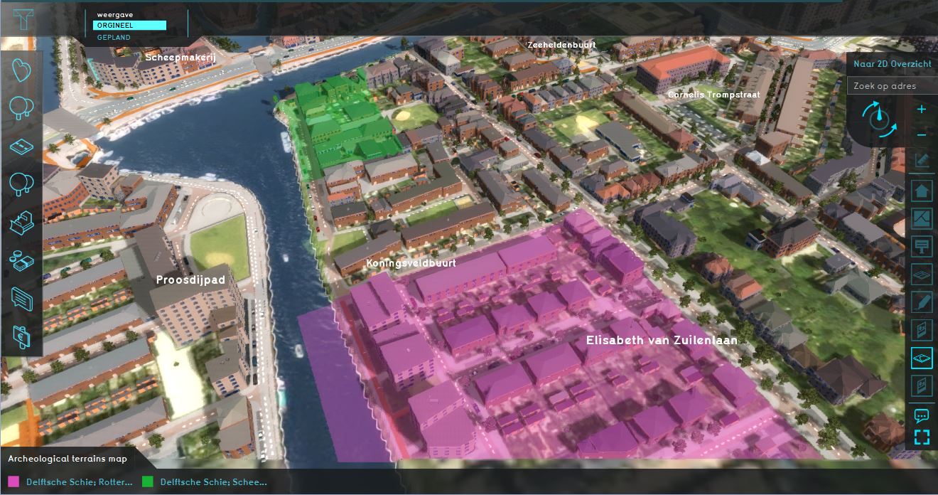
| 15:16, 18 March 2020 | Archeological map.JPG (file) |  |
201 KB | 2 | |
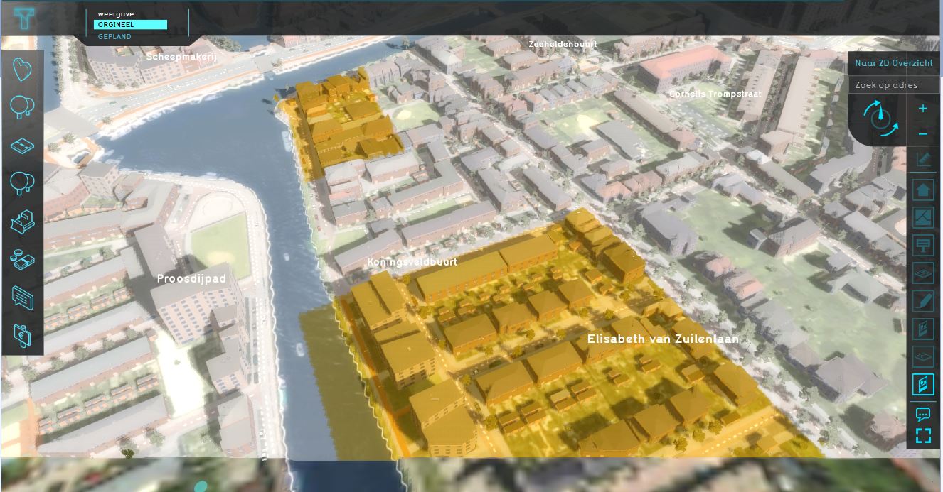
| 15:17, 18 March 2020 | Archeological map wms.JPG (file) |  |
164 KB | 1 | |
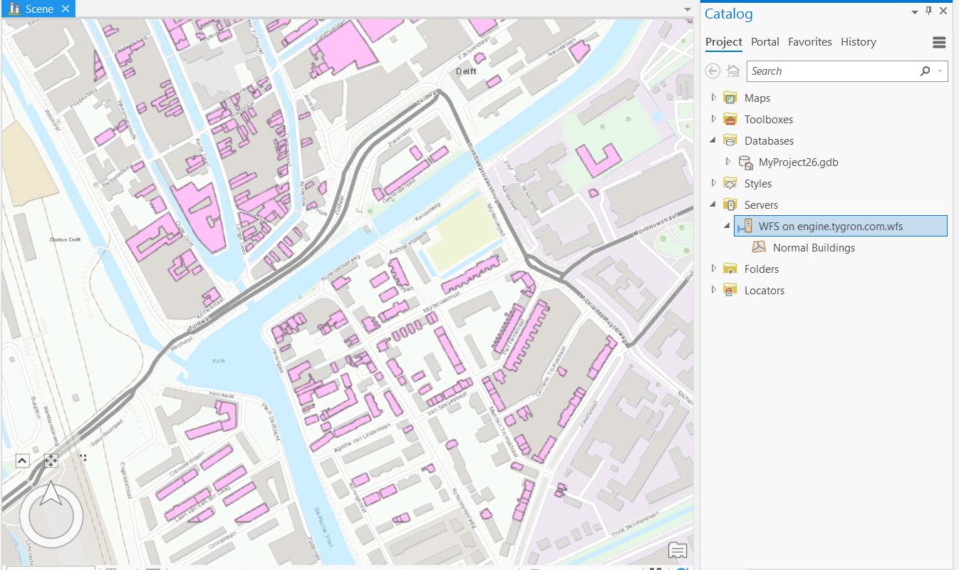
| 09:42, 25 March 2020 | Data in ArcGIS Pro.JPG (file) |  |
161 KB | 1 | |
| 09:43, 25 March 2020 | Add WFS server ArcGIS Pro.JPG (file) |  |
44 KB | 1 | |
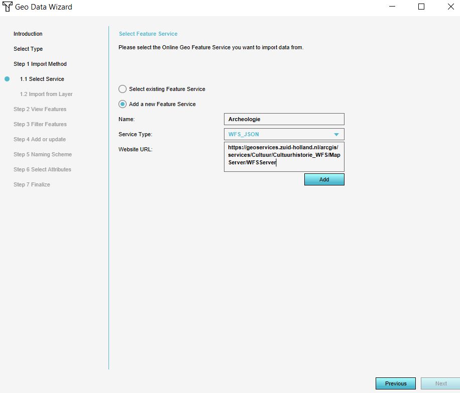
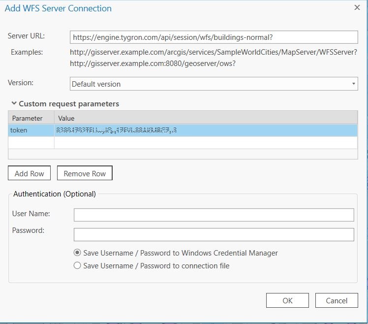
| 09:56, 25 March 2020 | Add wfs connection.JPG (file) |  |
97 KB | 2 | |
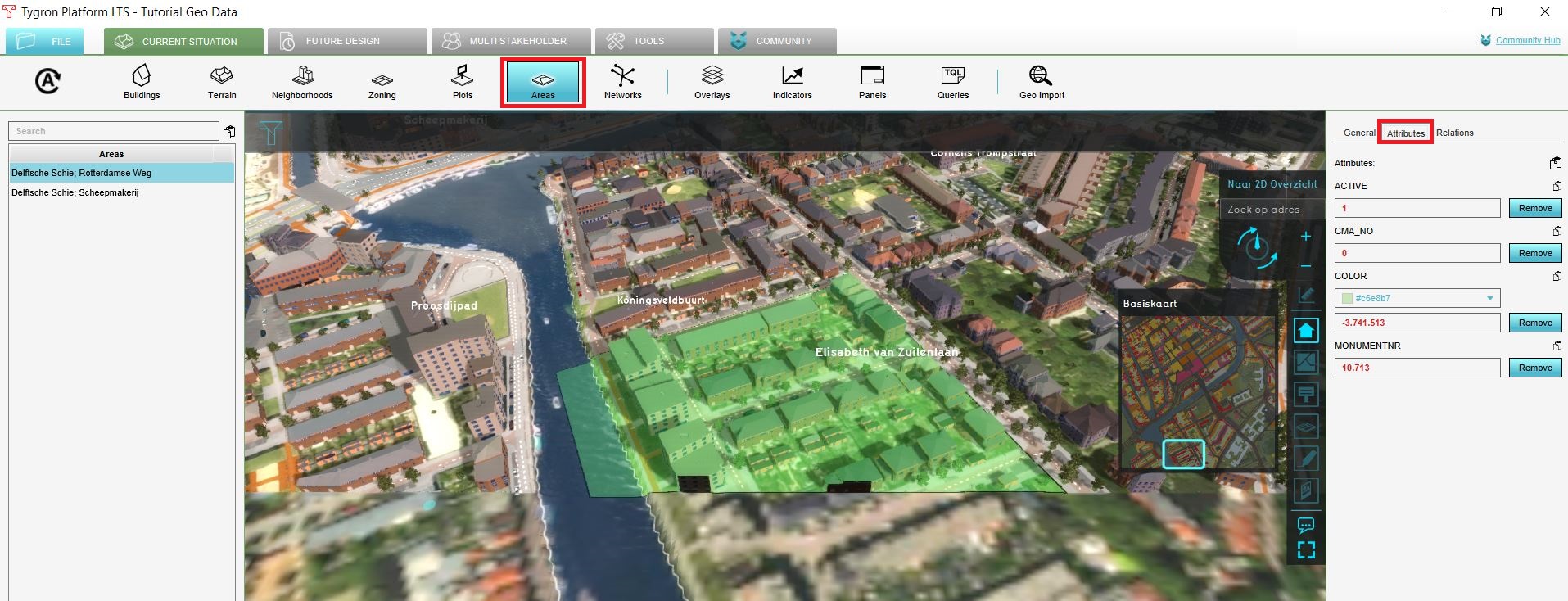
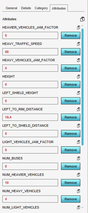
| 12:01, 3 April 2020 | NSL attributes.JPG (file) |  |
50 KB | 1 | |
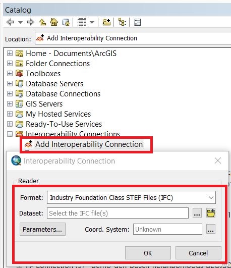
| 13:33, 20 April 2020 | Add interop connection.JPG (file) |  |
88 KB | 1 | |
| 13:34, 20 April 2020 | Arcmap data interop etension.JPG (file) |  |
86 KB | 1 | |
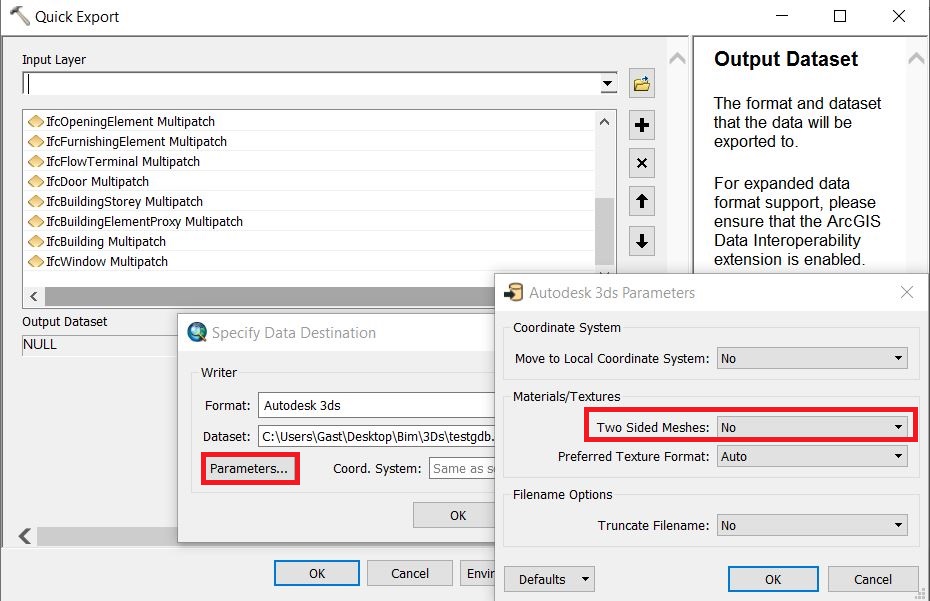
| 13:35, 20 April 2020 | Parameters quick export tool.JPG (file) |  |
147 KB | 1 | |
| 13:37, 20 April 2020 | Quick export to.JPG (file) |  |
98 KB | 2 | |
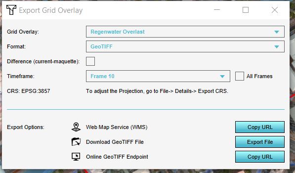
| 10:54, 24 April 2020 | Export grid options.JPG (file) |  |
41 KB | 3 | |
| 09:21, 14 July 2020 | Pumping stations.PNG (file) |  |
489 KB | 1 | |
| 09:23, 14 July 2020 | Waterlevel areas.PNG (file) |  |
536 KB | 1 | |
| 09:32, 14 July 2020 | Play rainfall.PNG (file) |  |
960 KB | 1 | |
| 09:34, 14 July 2020 | Surface elevation forest.PNG (file) |  |
460 KB | 1 | |
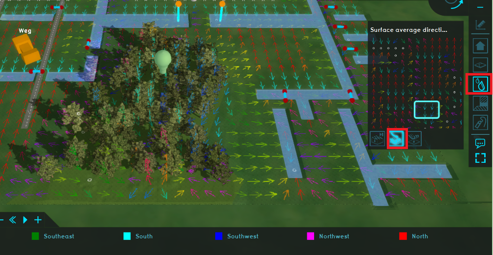
| 09:36, 14 July 2020 | Surface avg watershed.PNG (file) |  |
781 KB | 1 | |
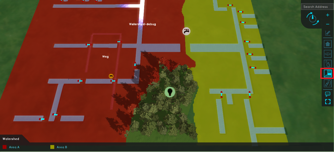
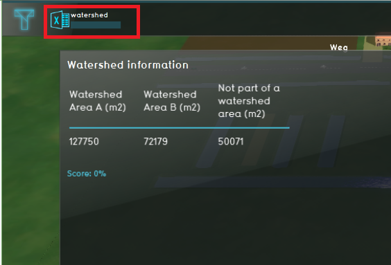
| 09:49, 14 July 2020 | Watershed areas.PNG (file) |  |
792 KB | 1 | |
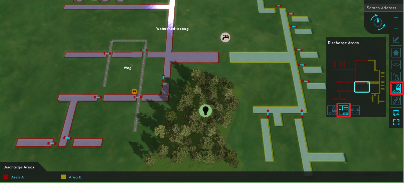
| 09:53, 14 July 2020 | Discharge areas.PNG (file) |  |
949 KB | 1 | |
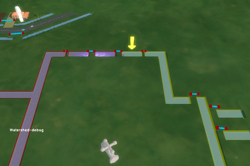
| 09:55, 14 July 2020 | Yellow arrow.PNG (file) | 653 KB | 1 | ||
| 09:57, 14 July 2020 | Base types yellow arrow.PNG (file) | 364 KB | 1 | ||
| 10:00, 14 July 2020 | Road watershed areas.PNG (file) |  |
538 KB | 1 | |
| 15:19, 14 July 2020 | Discharge areas wizard.PNG (file) |  |
26 KB | 1 | |
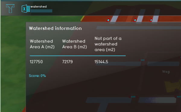
| 15:22, 14 July 2020 | Watershed update.PNG (file) |  |
584 KB | 1 | |
| 15:26, 14 July 2020 | Adjust culvert.PNG (file) |  |
458 KB | 1 | |
| 15:31, 14 July 2020 | Watershed culvert.PNG (file) |  |
782 KB | 1 | |
| 15:32, 14 July 2020 | Wizard watershed.PNG (file) | 395 KB | 1 | ||
| 15:38, 14 July 2020 | Stop test run.PNG (file) | 14 KB | 1 | ||
| 16:15, 14 July 2020 | Watershed.PNG (file) |  |
935 KB | 1 | |
| 11:08, 16 July 2020 | Watershed indicator.PNG (file) |  |
150 KB | 1 | |
| 11:16, 16 July 2020 | Changed watershed indicator.PNG (file) |  |
144 KB | 1 | |
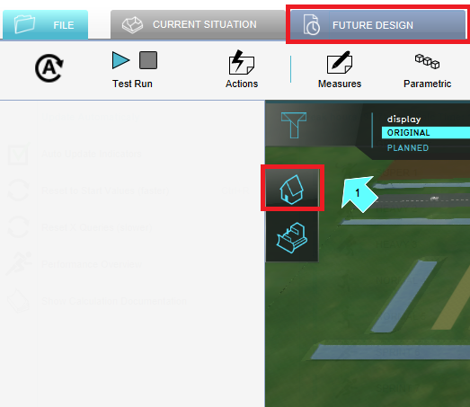
| 11:21, 16 July 2020 | Future desing tab.PNG (file) |  |
113 KB | 1 | |
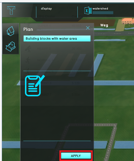
| 11:22, 16 July 2020 | Apply measure.PNG (file) |  |
231 KB | 1 | |
| 11:28, 16 July 2020 | Original planned.PNG (file) |  |
726 KB | 1 | |
| 11:39, 16 July 2020 | Measurement.PNG (file) |  |
405 KB | 1 | |
| 09:35, 30 July 2020 | Building phase.png (file) |  |
916 KB | 1 | |
| 09:36, 30 July 2020 | Usage phase.png (file) |  |
897 KB | 1 | |
| 09:21, 31 July 2020 | Building phase ac.PNG (file) |  |
131 KB | 1 | |
| 09:30, 31 July 2020 | Gebouwgebonden emissies ac.PNG (file) |  |
115 KB | 1 | |
| 09:31, 31 July 2020 | Verkeer ac.PNG (file) |  |
217 KB | 1 |