Uploads by Godelief@tygron.com
Jump to navigation
Jump to search
This special page shows all uploaded files.
| Date | Name | Thumbnail | Size | Description | Versions |
|---|---|---|---|---|---|
| 13:18, 12 May 2021 | Accept fix.PNG (file) |  |
58 KB | 1 | |
| 14:26, 21 June 2021 | Action bar project.png (file) |  |
168 KB | 1 | |
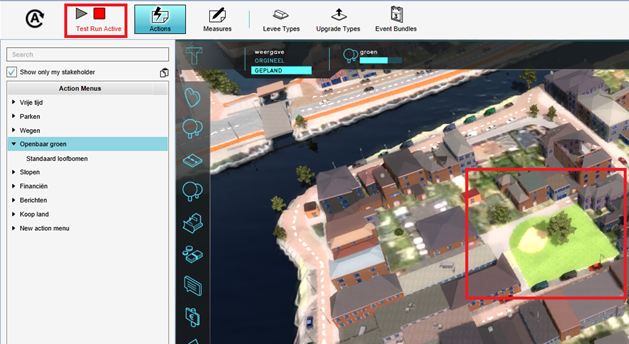
| 14:27, 21 June 2021 | Action testrun.png (file) |  |
350 KB | 1 | |
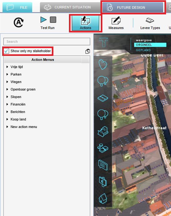
| 14:25, 21 June 2021 | Actions stakeholder.png (file) |  |
316 KB | 1 | |
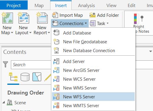
| 09:43, 25 March 2020 | Add WFS server ArcGIS Pro.JPG (file) |  |
44 KB | 1 | |
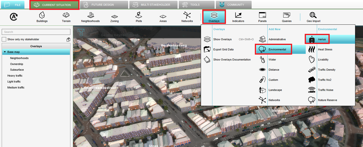
| 14:53, 13 January 2021 | Add aerius overlay.PNG (file) |  |
849 KB | 1 | |
| 12:13, 10 June 2021 | Add heightmap.PNG (file) |  |
1.57 MB | 1 | |
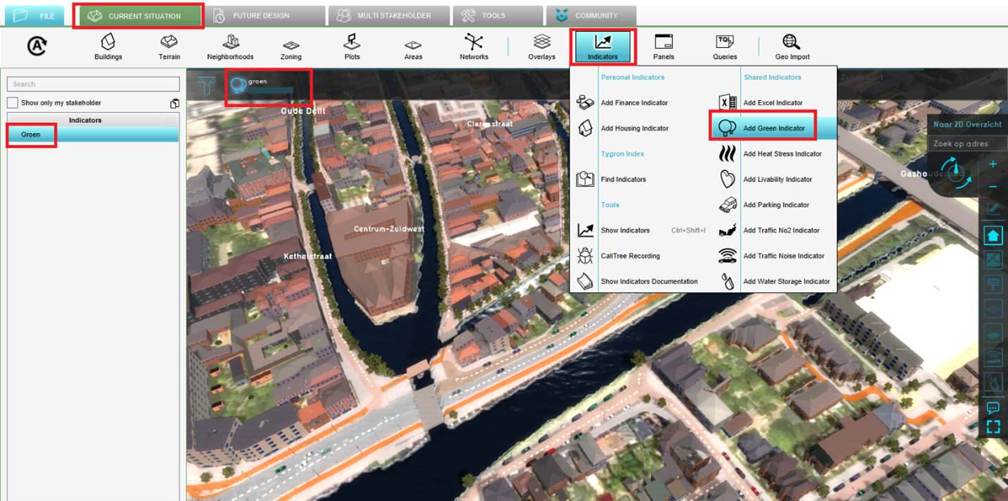
| 14:22, 21 June 2021 | Add indicator.png (file) |  |
1.58 MB | 1 | |
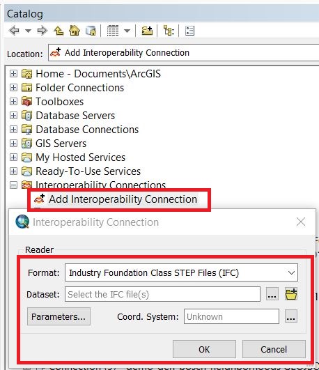
| 13:33, 20 April 2020 | Add interop connection.JPG (file) |  |
88 KB | 1 | |
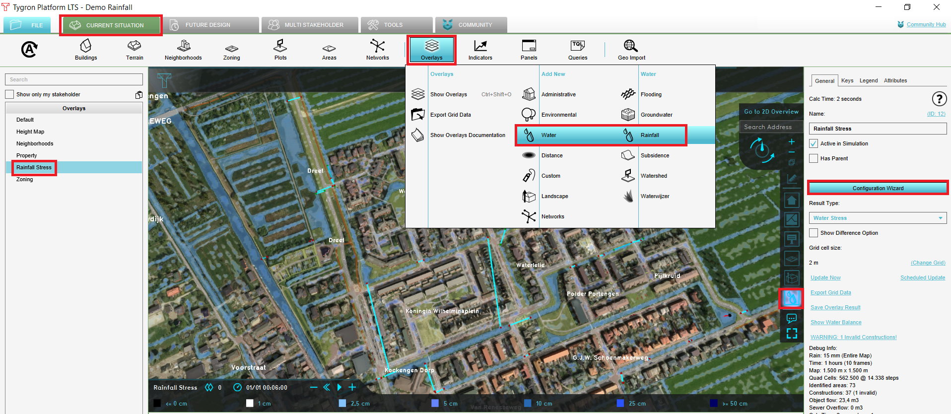
| 12:25, 10 June 2021 | Add rainfall handout watermodule.PNG (file) |  |
1.69 MB | 1 | |
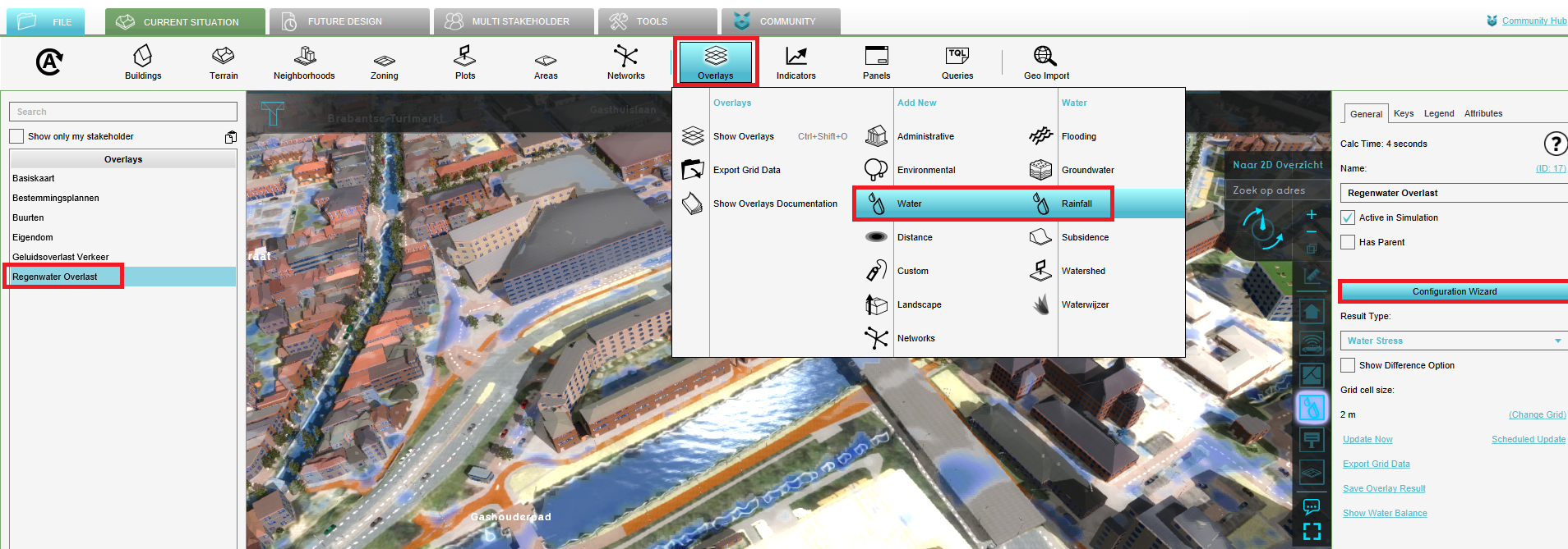
| 14:14, 21 June 2021 | Add rainfall to project.PNG (file) |  |
1.17 MB | 1 | |
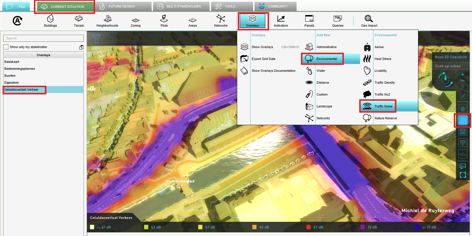
| 14:08, 21 June 2021 | Add traffic noise overlay.PNG (file) |  |
1.27 MB | 1 | |
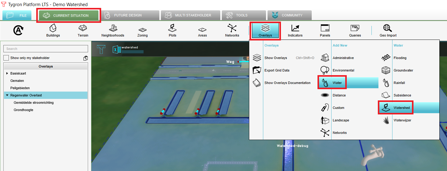
| 15:16, 9 June 2021 | Add watershed.png (file) |  |
358 KB | 1 | |
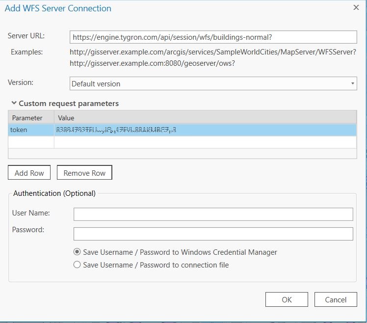
| 09:56, 25 March 2020 | Add wfs connection.JPG (file) |  |
97 KB | 2 | |
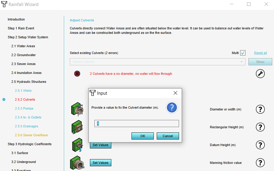
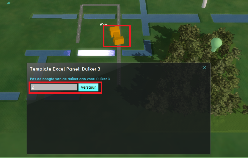
| 15:26, 14 July 2020 | Adjust culvert.PNG (file) |  |
458 KB | 1 | |
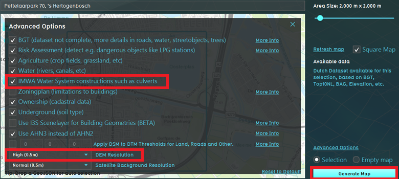
| 12:03, 10 June 2021 | Advanced options water.png (file) |  |
381 KB | 1 | |
| 10:08, 31 July 2020 | Aerius gebruiksfase ac.PNG (file) |  |
495 KB | 1 | |
| 10:06, 31 July 2020 | Aerius realisatiefase ac.PNG (file) |  |
401 KB | 1 | |
| 11:22, 16 July 2020 | Apply measure.PNG (file) |  |
231 KB | 1 | |
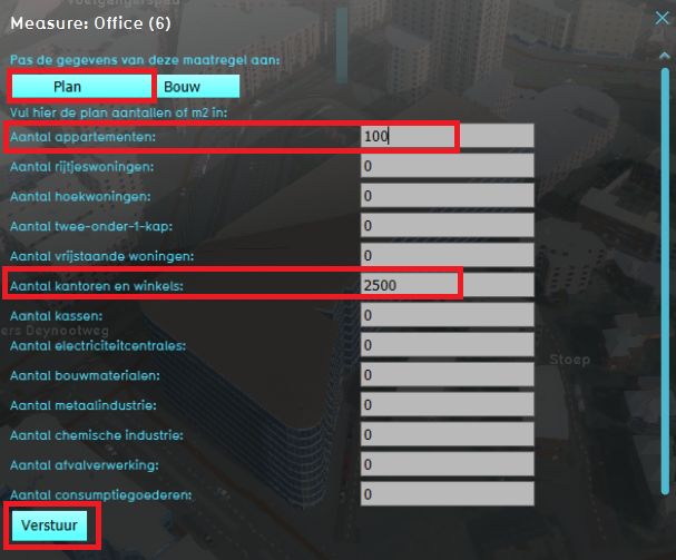
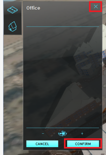
| 14:32, 1 September 2020 | Apply office.PNG (file) |  |
167 KB | 1 | |
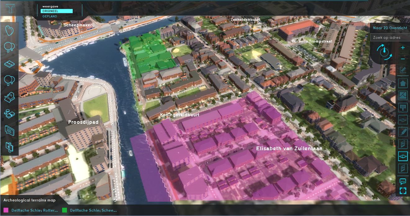
| 15:16, 18 March 2020 | Archeological map.JPG (file) |  |
201 KB | 2 | |
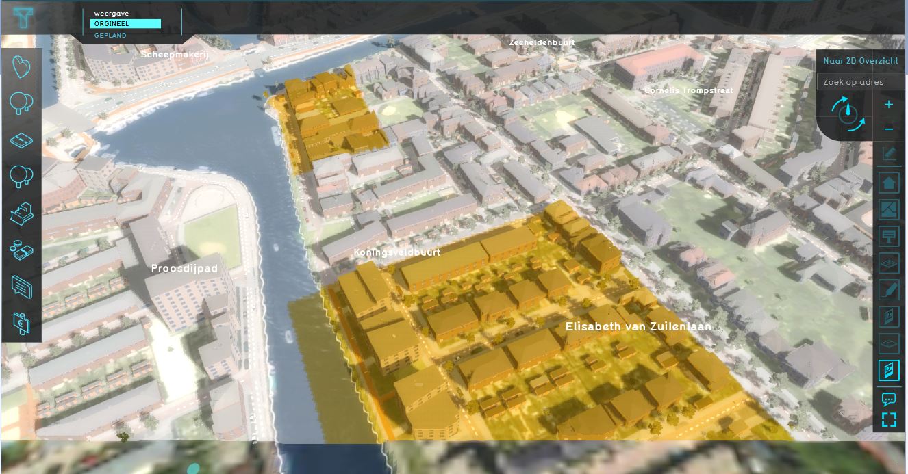
| 15:17, 18 March 2020 | Archeological map wms.JPG (file) |  |
164 KB | 1 | |
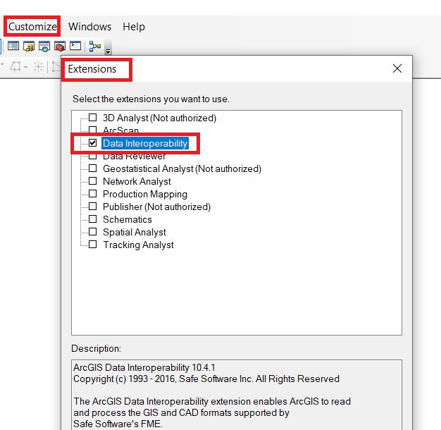
| 13:34, 20 April 2020 | Arcmap data interop etension.JPG (file) |  |
86 KB | 1 | |
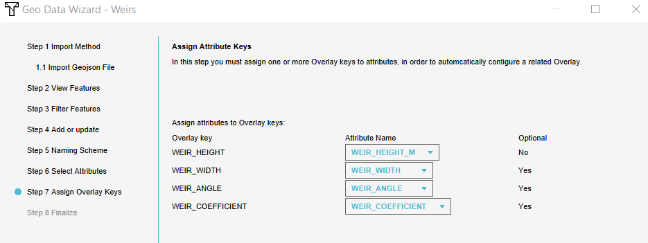
| 11:06, 25 March 2021 | Assign keys.PNG (file) |  |
20 KB | 1 | |
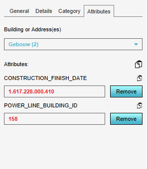
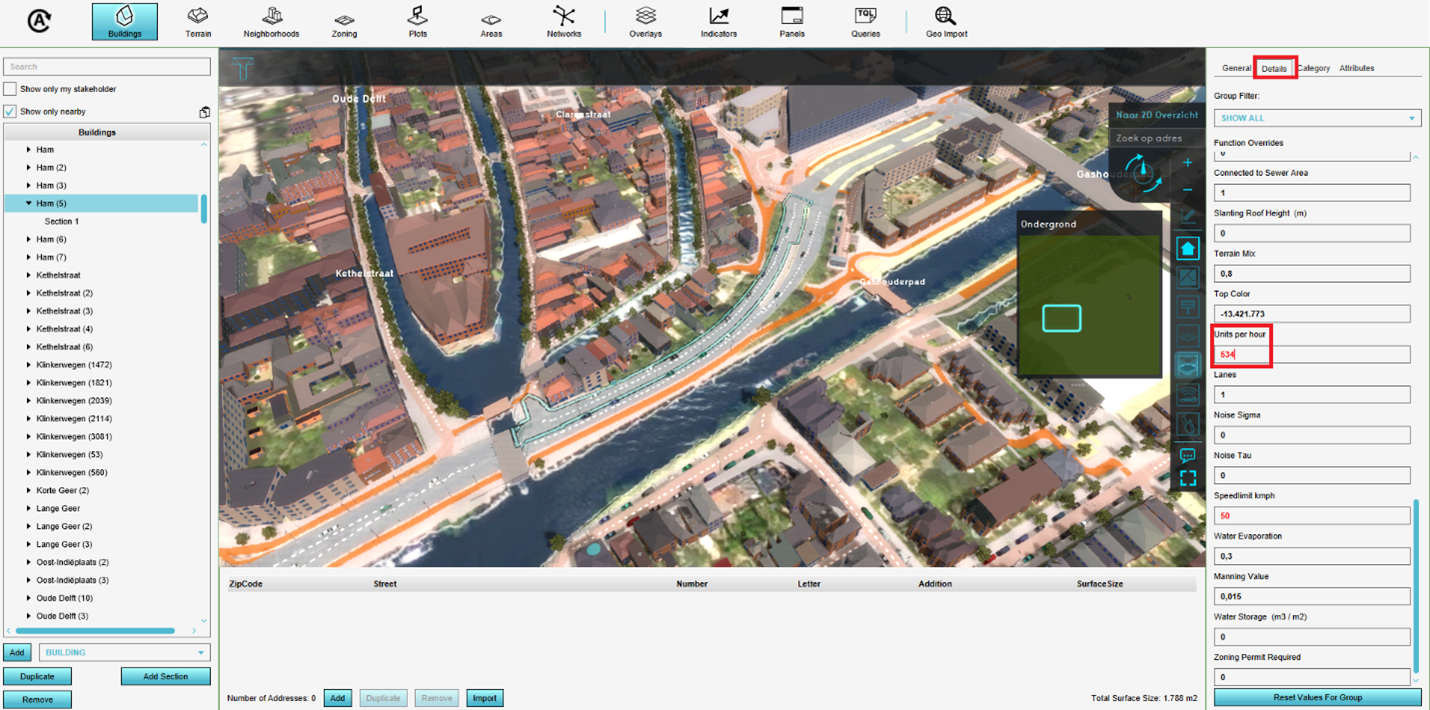
| 14:44, 1 April 2021 | Attribute powerline.PNG (file) |  |
8 KB | 1 | |
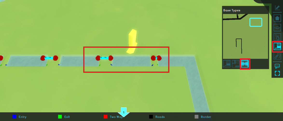
| 09:57, 14 July 2020 | Base types yellow arrow.PNG (file) | 364 KB | 1 | ||
| 10:20, 12 May 2021 | Breach schematic.PNG (file) |  |
47 KB | 1 | |
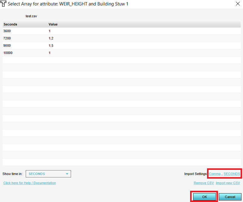
| 10:11, 4 September 2020 | Browse csv.PNG (file) |  |
18 KB | 1 | |
| 12:53, 10 June 2021 | Buffer weir points.png (file) |  |
36 KB | 1 | |
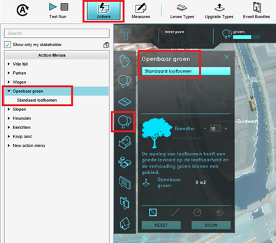
| 14:26, 21 June 2021 | Build action.png (file) |  |
288 KB | 1 | |
| 09:35, 30 July 2020 | Building phase.png (file) |  |
916 KB | 1 | |
| 09:21, 31 July 2020 | Building phase ac.PNG (file) |  |
131 KB | 1 | |
| 09:50, 31 July 2020 | Building phase tp.PNG (file) |  |
130 KB | 1 | |
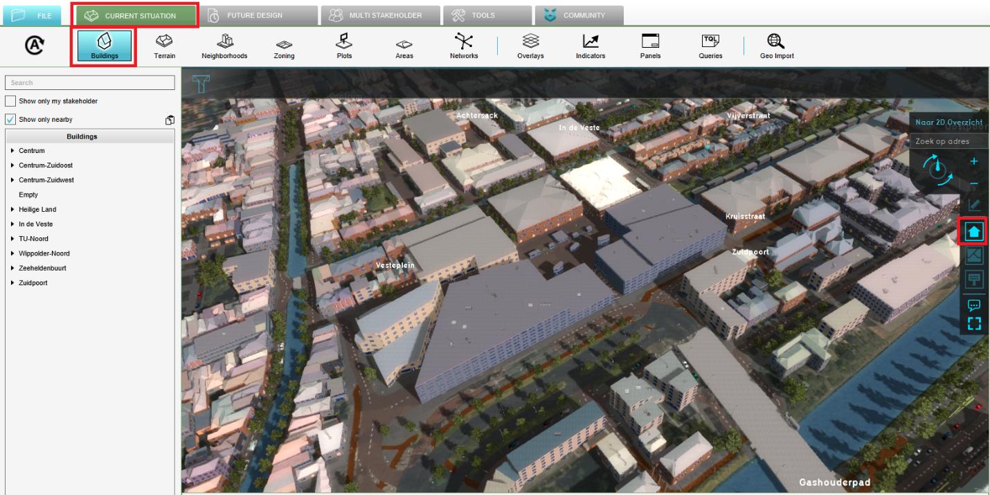
| 14:17, 21 June 2021 | Buildings button.png (file) |  |
1.73 MB | 1 | |
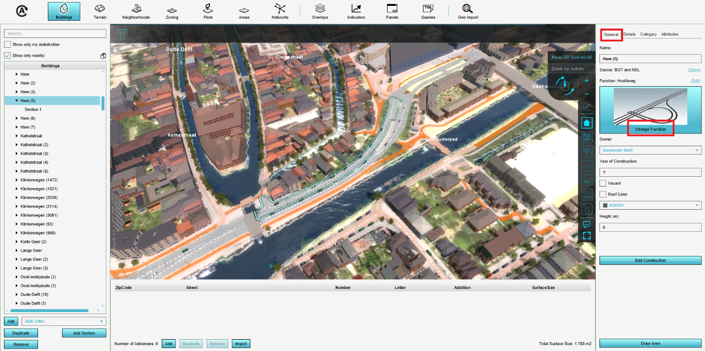
| 14:19, 21 June 2021 | Change function.png (file) |  |
1.38 MB | 1 | |
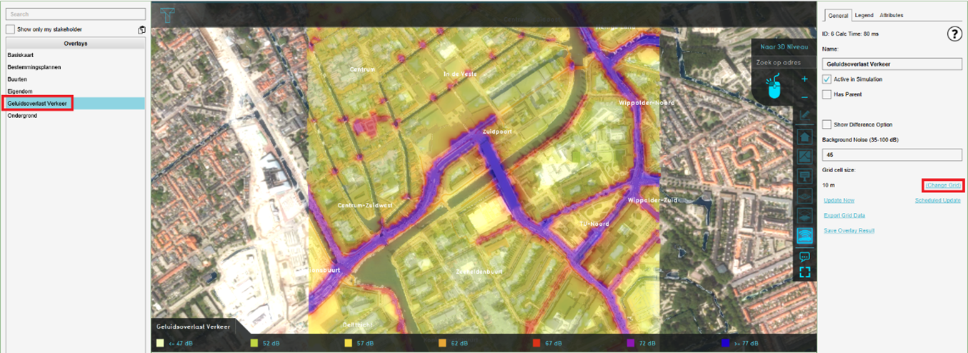
| 14:09, 21 June 2021 | Change grid cell size.png (file) |  |
1.35 MB | 1 | |
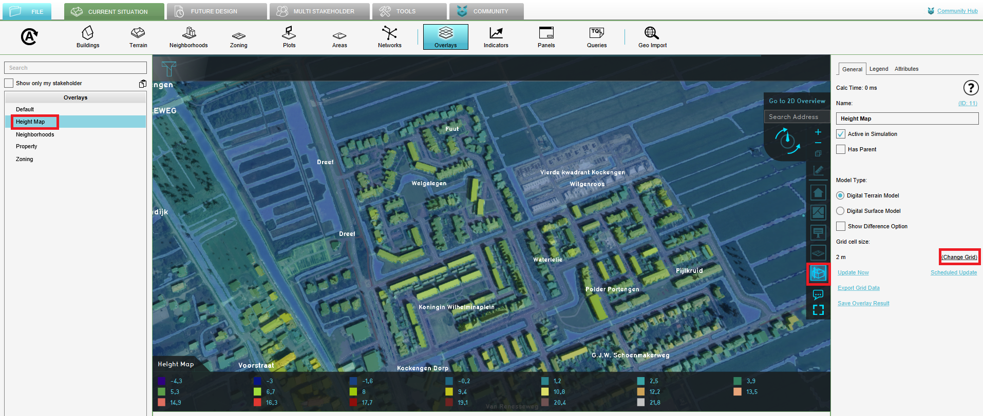
| 12:21, 10 June 2021 | Change grid size heightmap.PNG (file) |  |
1.69 MB | 1 | |
| 15:21, 4 January 2021 | Change scenario.PNG (file) |  |
313 KB | 1 | |
| 09:03, 4 September 2020 | Change settings csv import.PNG (file) |  |
18 KB | 1 | |
| 14:19, 21 June 2021 | Change traffic flow.png (file) |  |
1.47 MB | 1 | |
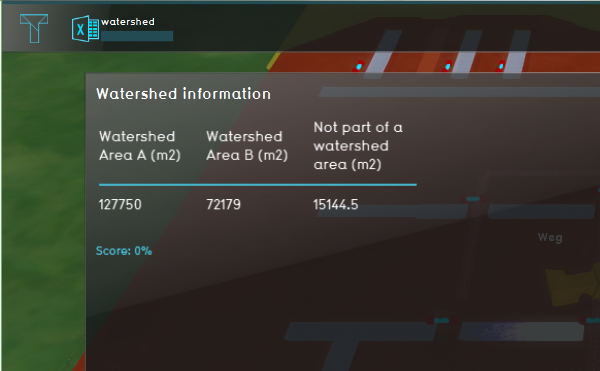
| 11:16, 16 July 2020 | Changed watershed indicator.PNG (file) |  |
144 KB | 1 | |
| 10:41, 3 September 2020 | Choose csv format.PNG (file) |  |
28 KB | 1 | |
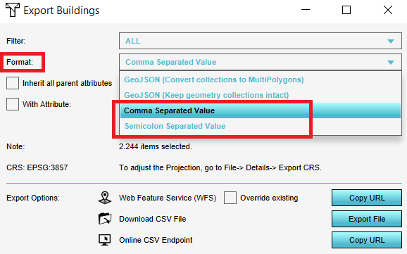
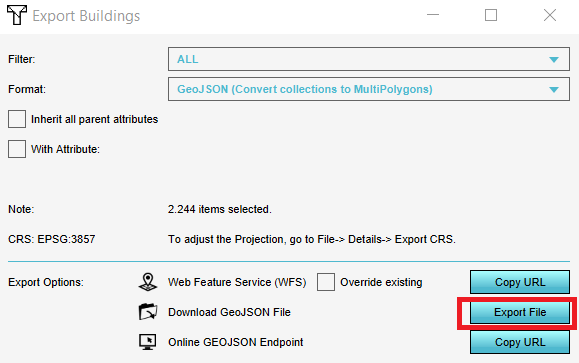
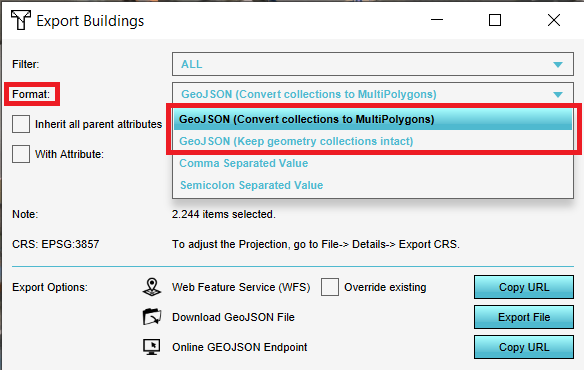
| 10:29, 3 September 2020 | Choose export geojson.PNG (file) |  |
21 KB | 1 | |
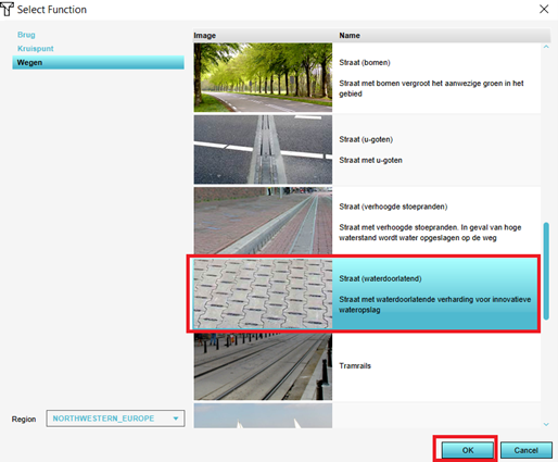
| 14:20, 21 June 2021 | Choose function.png (file) |  |
166 KB | 1 | |
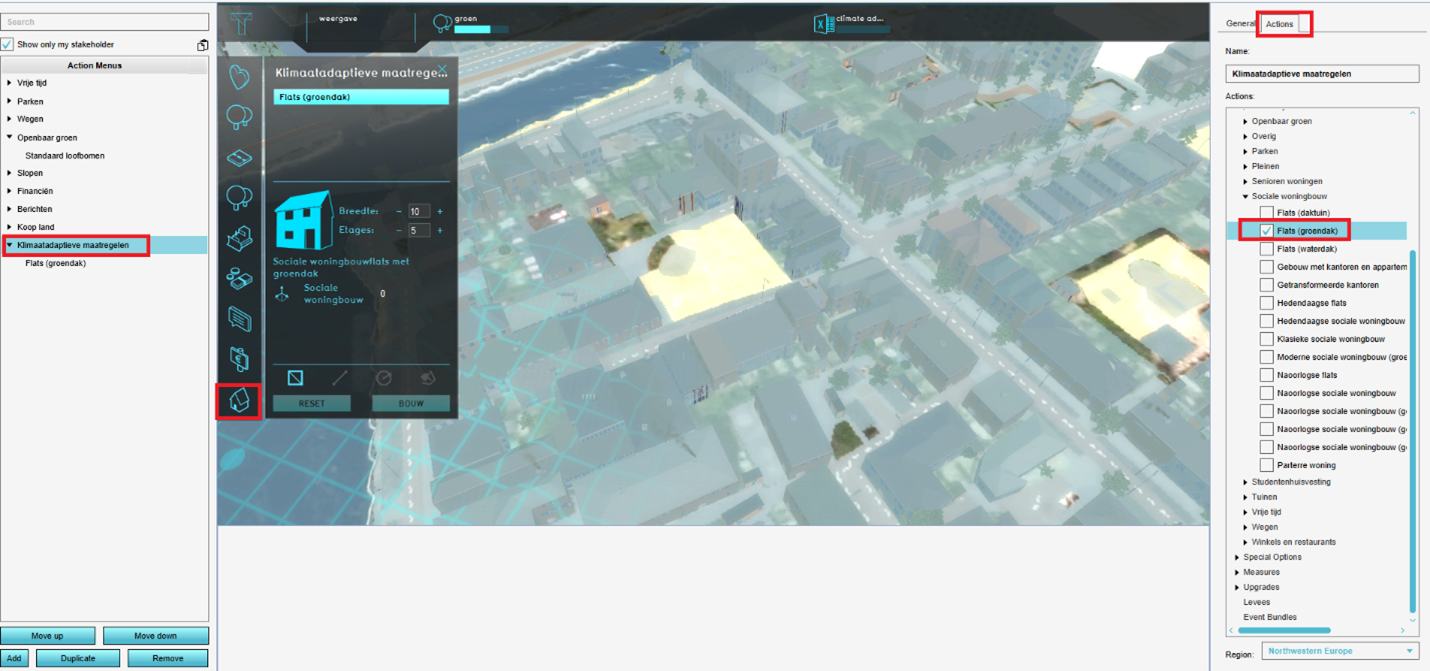
| 14:28, 21 June 2021 | Choose function actions.png (file) |  |
1.01 MB | 1 | |
| 10:28, 3 September 2020 | Choose geojson.PNG (file) |  |
34 KB | 1 | |
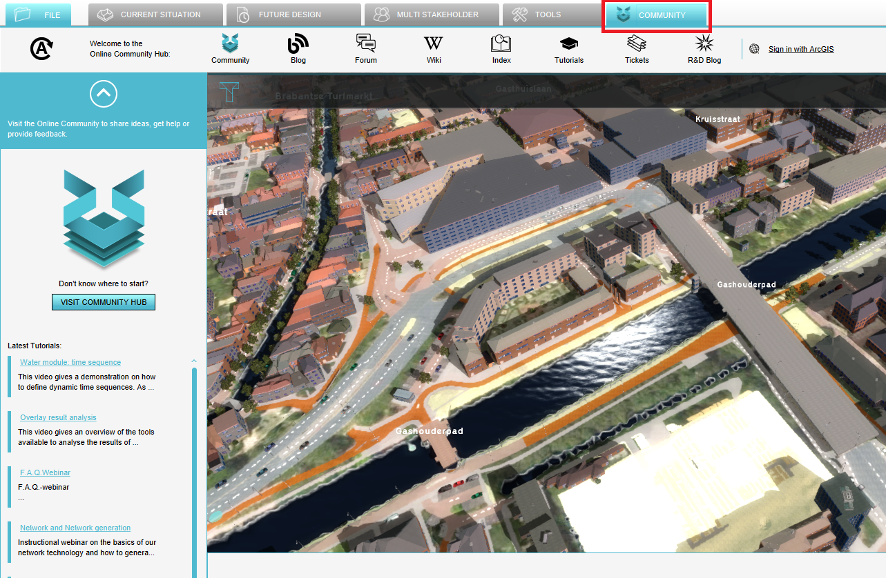
| 13:59, 21 June 2021 | Community tab.png (file) |  |
1.33 MB | 1 | |
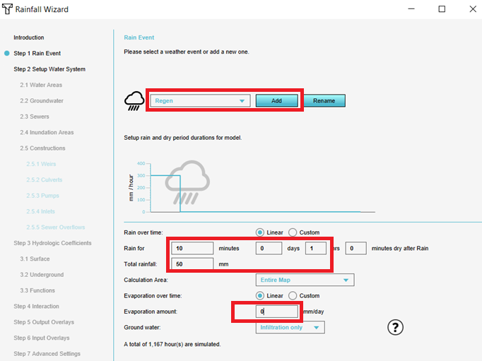
| 15:07, 9 June 2021 | Configure rainfall.png (file) |  |
92 KB | 1 | |
| 14:32, 1 September 2020 | Confirm.PNG (file) |  |
169 KB | 1 | |
| 15:40, 9 June 2021 | Copy WMS URL.png (file) |  |
19 KB | 1 |