Uploads by Godelief@tygron.nl
Jump to navigation
Jump to search
This special page shows all uploaded files.
| Date | Name | Thumbnail | Size | Description | Versions |
|---|---|---|---|---|---|
| 10:17, 19 November 2019 | Internal breach area 3.JPG (file) |  |
44 KB | 1 | |
| 09:48, 1 May 2019 | Export geojson file.JPG (file) |  |
44 KB | 1 | |
| 13:03, 7 August 2018 | Heatstress hover panel.JPG (file) |  |
45 KB | 1 | |
| 15:47, 14 January 2020 | Peilgebieden file.JPG (file) |  |
45 KB | 1 | |
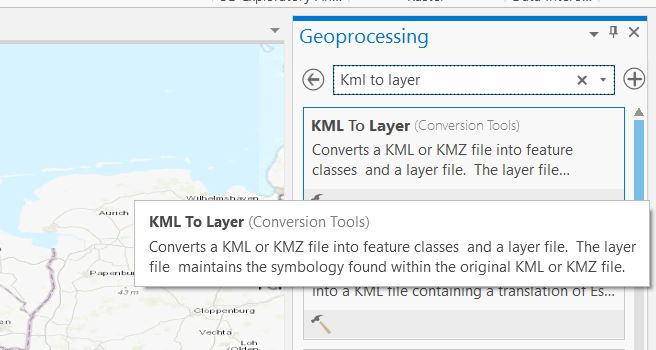
| 12:53, 25 February 2020 | Kml to layer.JPG (file) |  |
45 KB | 1 | |
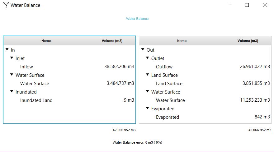
| 13:14, 26 October 2018 | Waterbalance panel.JPG (file) |  |
46 KB | 1 | |
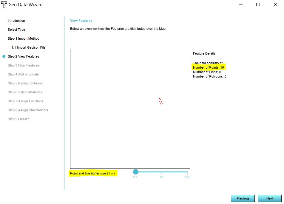
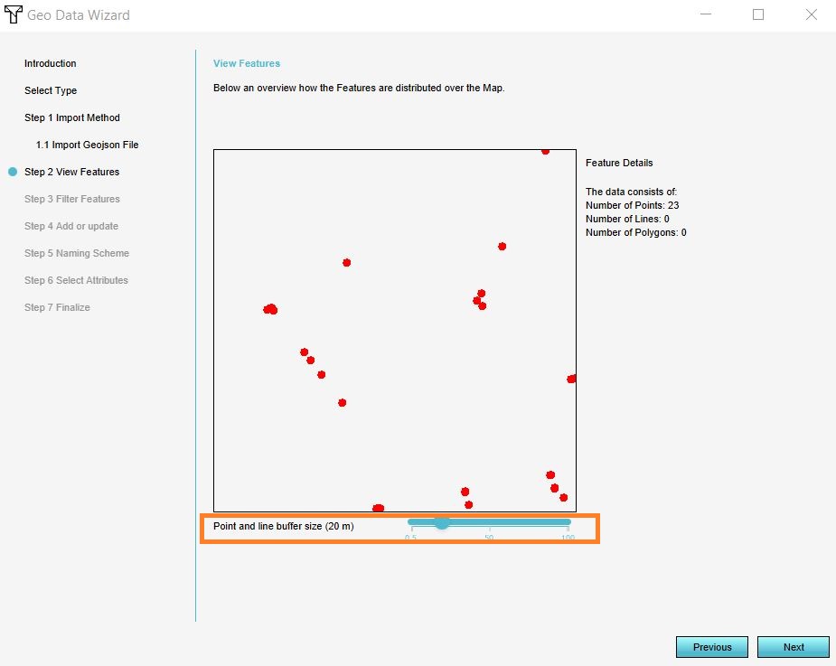
| 08:26, 22 June 2018 | Point data buffer.JPG (file) |  |
46 KB | 1 | |
| 14:54, 30 April 2019 | Error pseudo mercator.JPG (file) |  |
46 KB | 1 | |
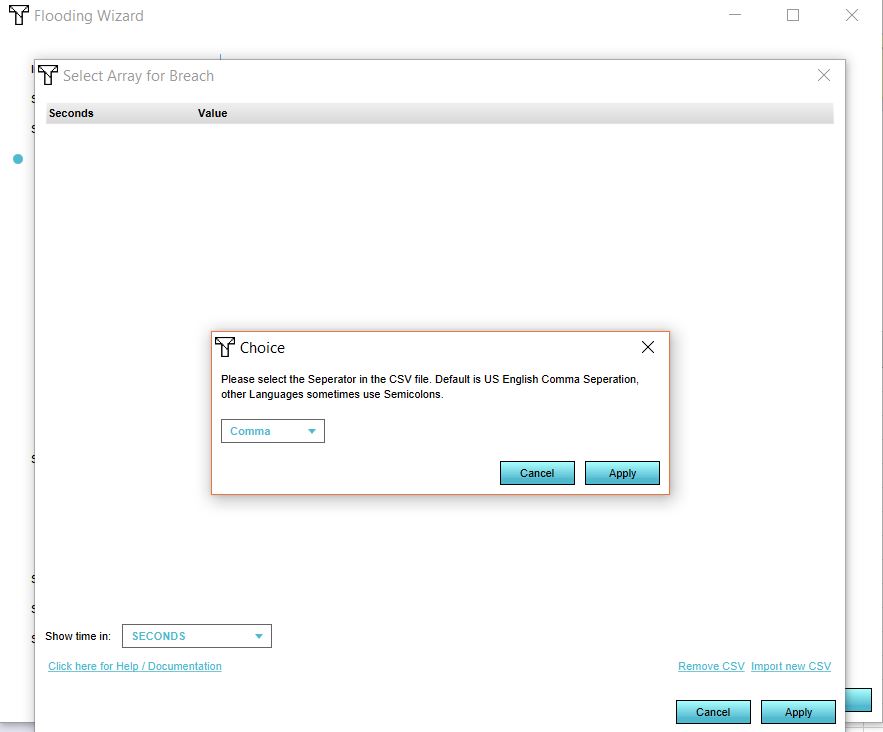
| 11:53, 24 October 2018 | Seperator.JPG (file) |  |
47 KB | 1 | |
| 14:47, 30 April 2019 | Null error crs.JPG (file) |  |
47 KB | 1 | |
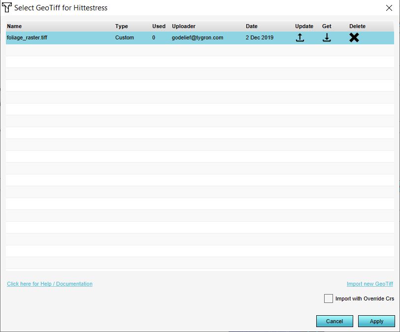
| 09:35, 2 December 2019 | Apply foliage raster.JPG (file) |  |
47 KB | 1 | |
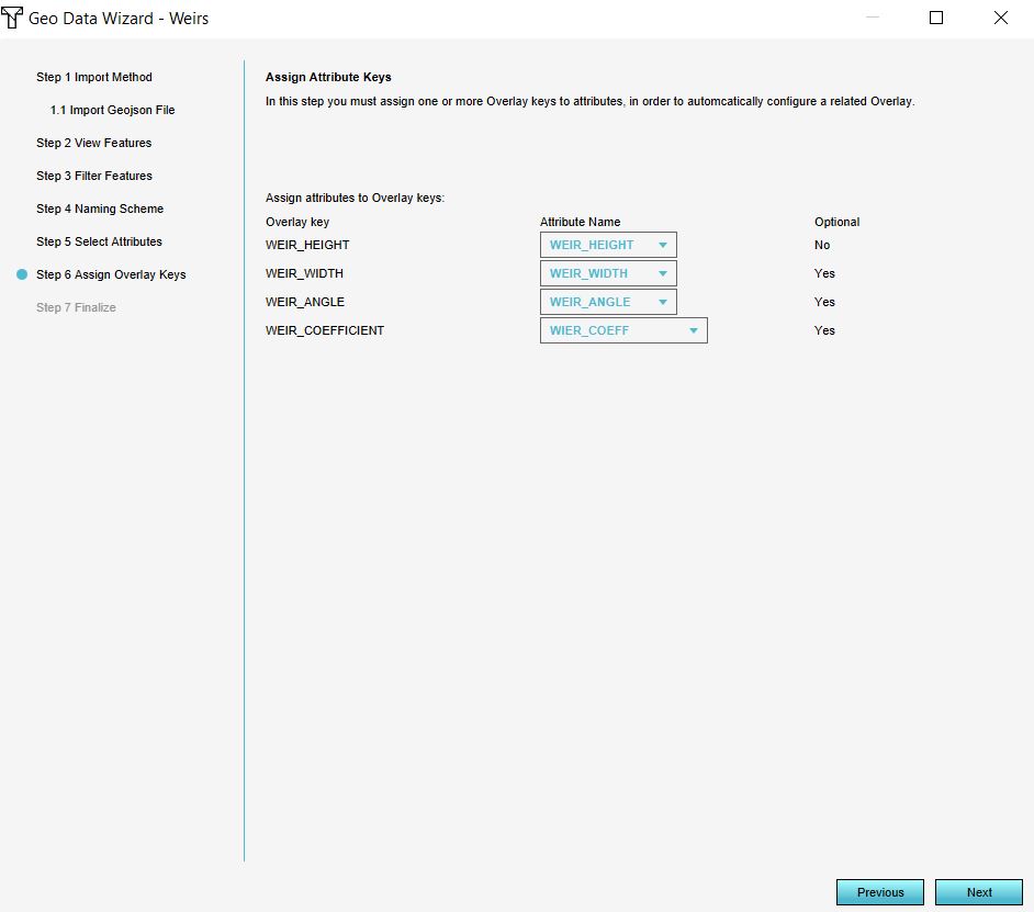
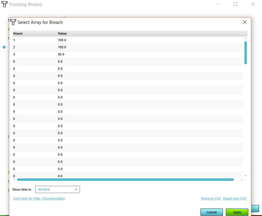
| 10:58, 20 December 2019 | Rainfall weirs keys.JPG (file) |  |
48 KB | 1 | |
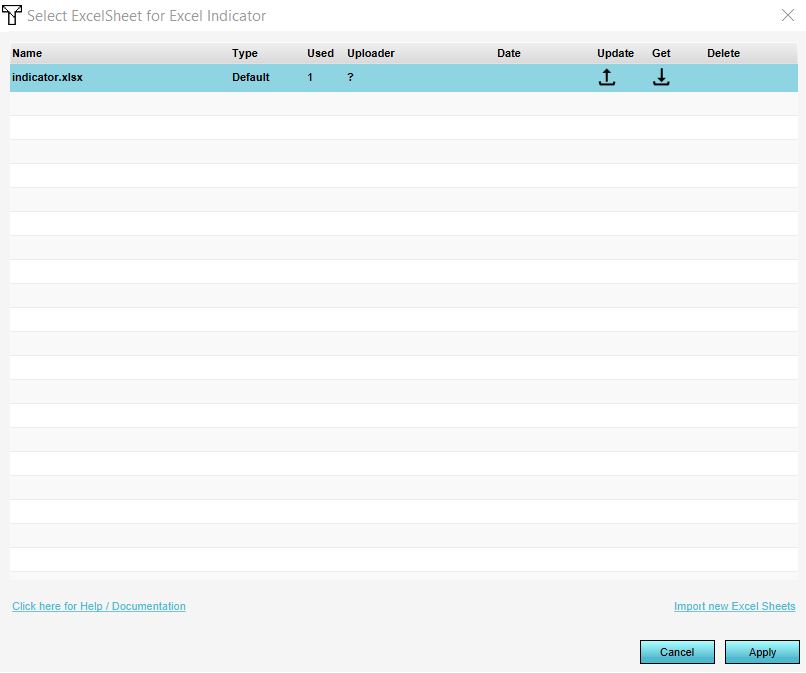
| 13:25, 14 June 2019 | Excel file manager.JPG (file) |  |
48 KB | 1 | |
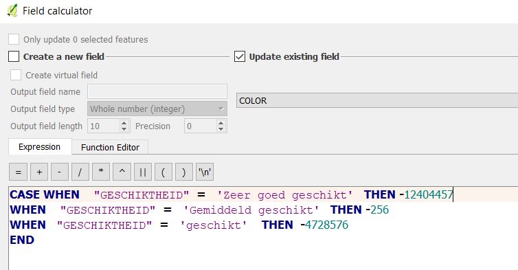
| 09:23, 20 August 2019 | Example field calculator.JPG (file) |  |
48 KB | 1 | |
| 14:55, 10 January 2019 | Raster settings.JPG (file) |  |
48 KB | 1 | |
| 09:27, 20 June 2018 | Add wfs.JPG (file) |  |
48 KB | 1 | |
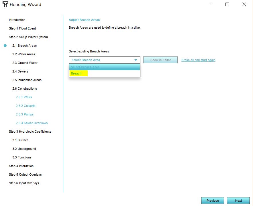
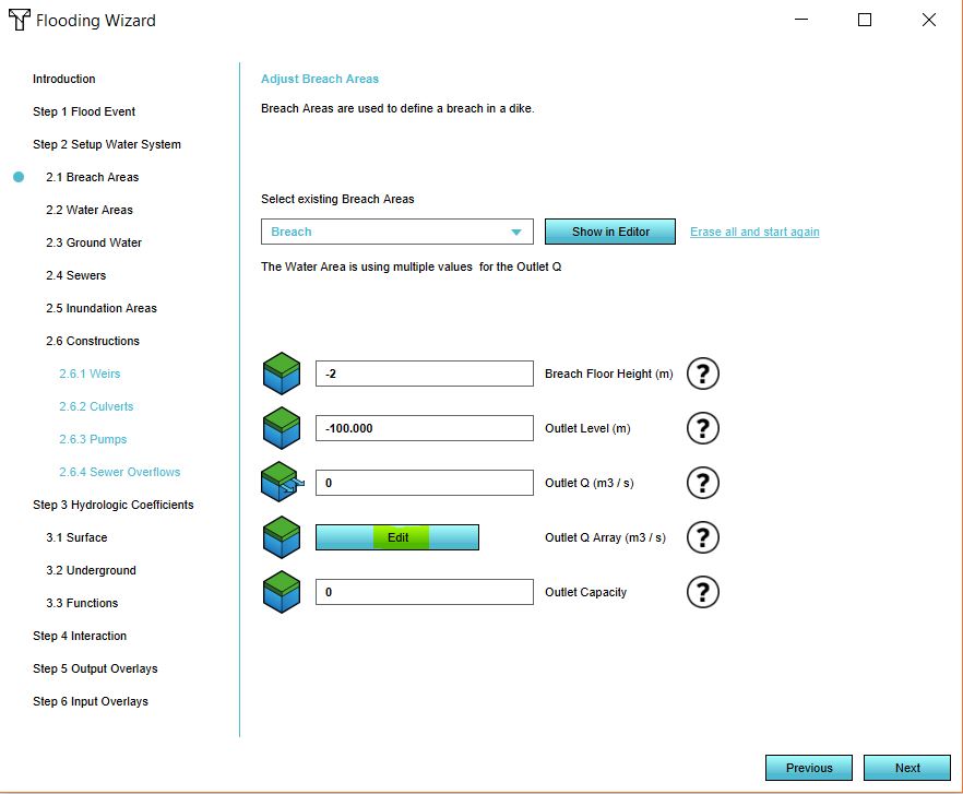
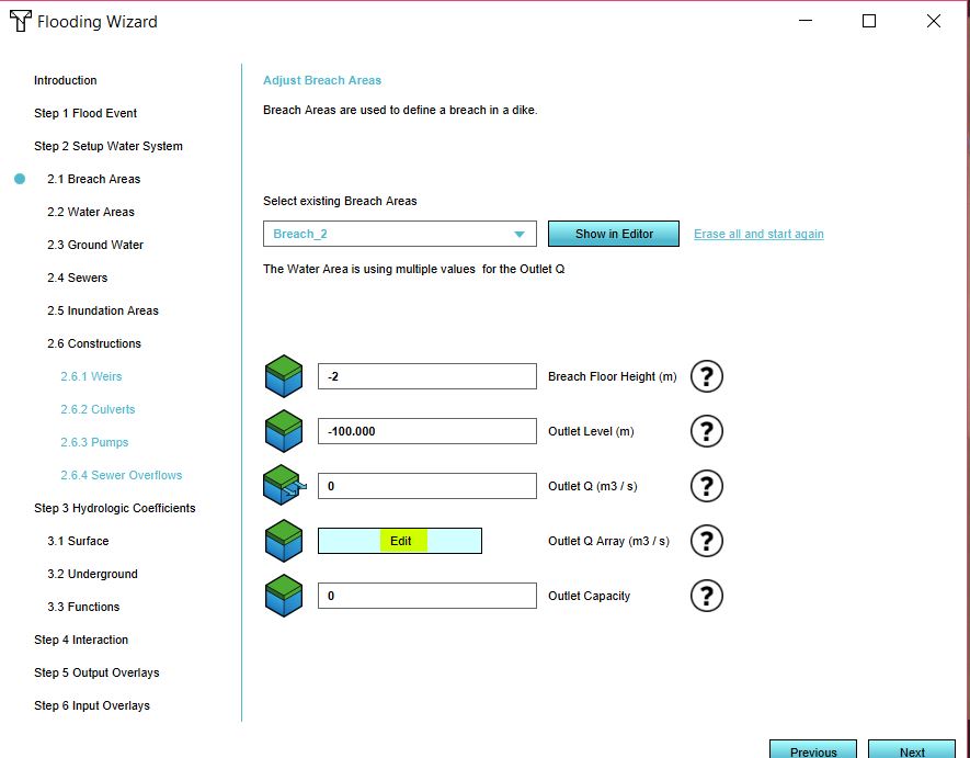
| 11:51, 24 October 2018 | Select breach.JPG (file) |  |
50 KB | 1 | |
| 13:50, 8 May 2018 | Average hover panel.JPG (file) |  |
50 KB | 1 | |
| 08:52, 12 June 2019 | Kockengen tutorial sewer areas.JPG (file) |  |
50 KB | 1 | |
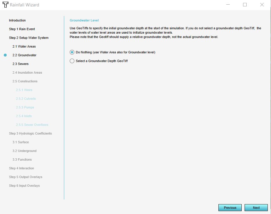
| 08:51, 12 June 2019 | Kockengen tutorial groundwater.JPG (file) |  |
51 KB | 1 | |
| 10:39, 21 January 2020 | Keys tab.JPG (file) |  |
52 KB | 1 | |
| 10:14, 19 November 2019 | Internal breach area.JPG (file) |  |
52 KB | 1 | |
| 14:48, 18 December 2019 | Limit area.PNG (file) |  |
53 KB | 1 | |
| 11:20, 12 June 2019 | Kockengen tutorial sewer attributes.JPG (file) |  |
53 KB | 1 | |
| 08:15, 22 June 2018 | Stakeholders.JPG (file) |  |
54 KB | 1 | |
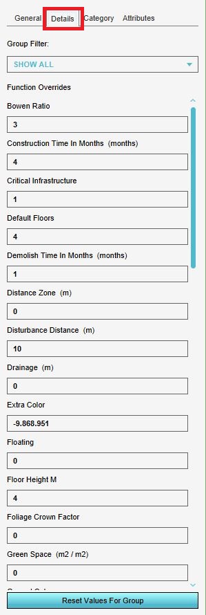
| 12:42, 6 August 2018 | Underground info objects.JPG (file) |  |
55 KB | 1 | |
| 09:24, 20 June 2018 | Ng wfs.JPG (file) |  |
55 KB | 1 | |
| 15:35, 14 January 2020 | Naming areas.JPG (file) |  |
55 KB | 1 | |
| 14:45, 6 August 2018 | Ownership info.JPG (file) |  |
56 KB | 1 | |
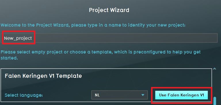
| 14:06, 10 January 2020 | Use template.JPG (file) |  |
57 KB | 1 | |
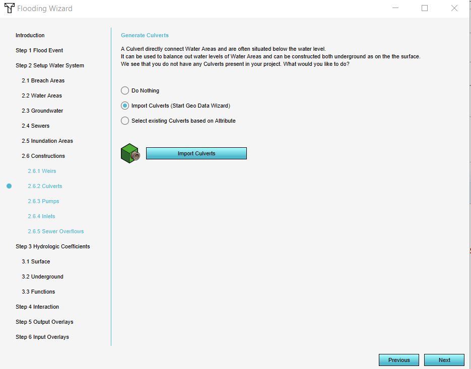
| 15:02, 10 January 2020 | Import culverts.JPG (file) |  |
59 KB | 1 | |
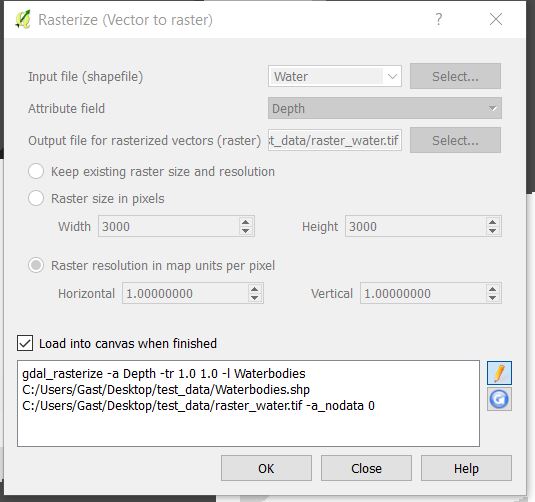
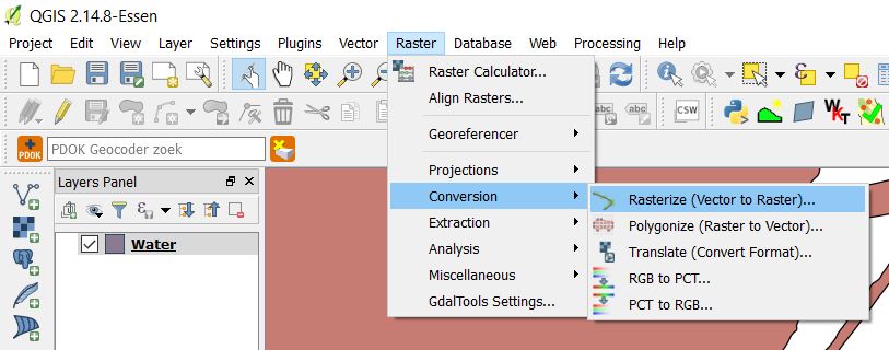
| 14:54, 10 January 2019 | Rasterize.JPG (file) |  |
59 KB | 1 | |
| 11:56, 24 October 2018 | Apply file.JPG (file) |  |
59 KB | 1 | |
| 15:49, 14 January 2020 | Ahn file.JPG (file) |  |
60 KB | 1 | |
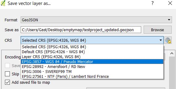
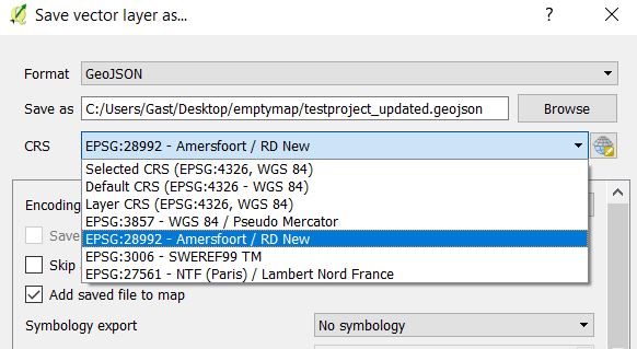
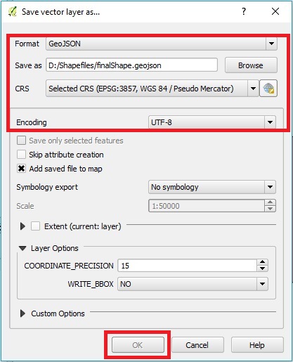
| 09:20, 29 April 2019 | QGISSaveAs updated.jpg (file) |  |
60 KB | 1 | |
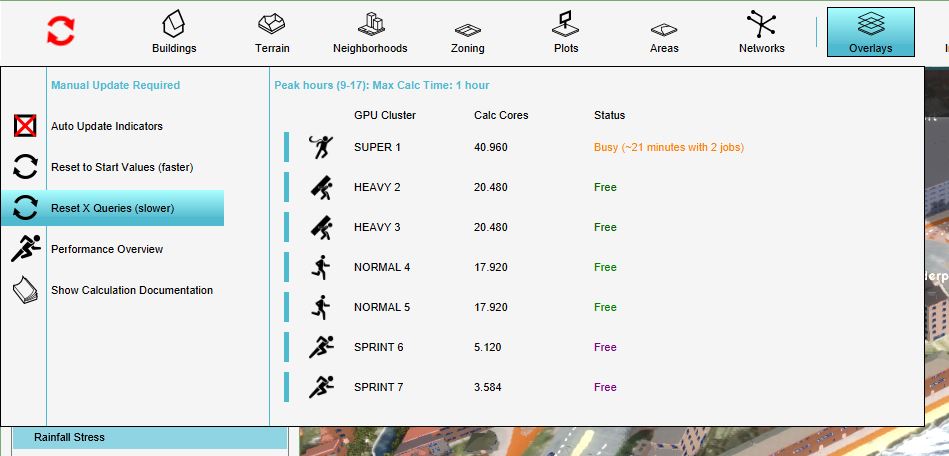
| 15:42, 30 October 2019 | Wss reset x.JPG (file) |  |
62 KB | 1 | |
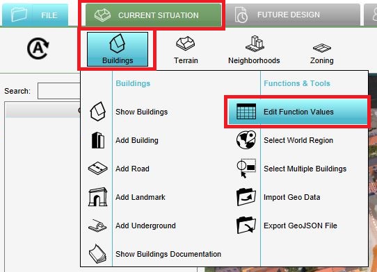
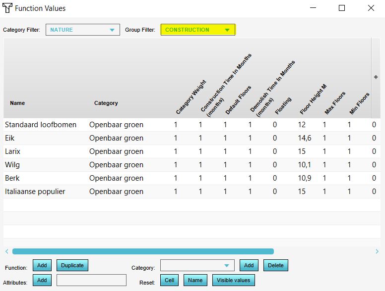
| 09:50, 6 June 2019 | Edit function values.JPG (file) |  |
62 KB | 1 | |
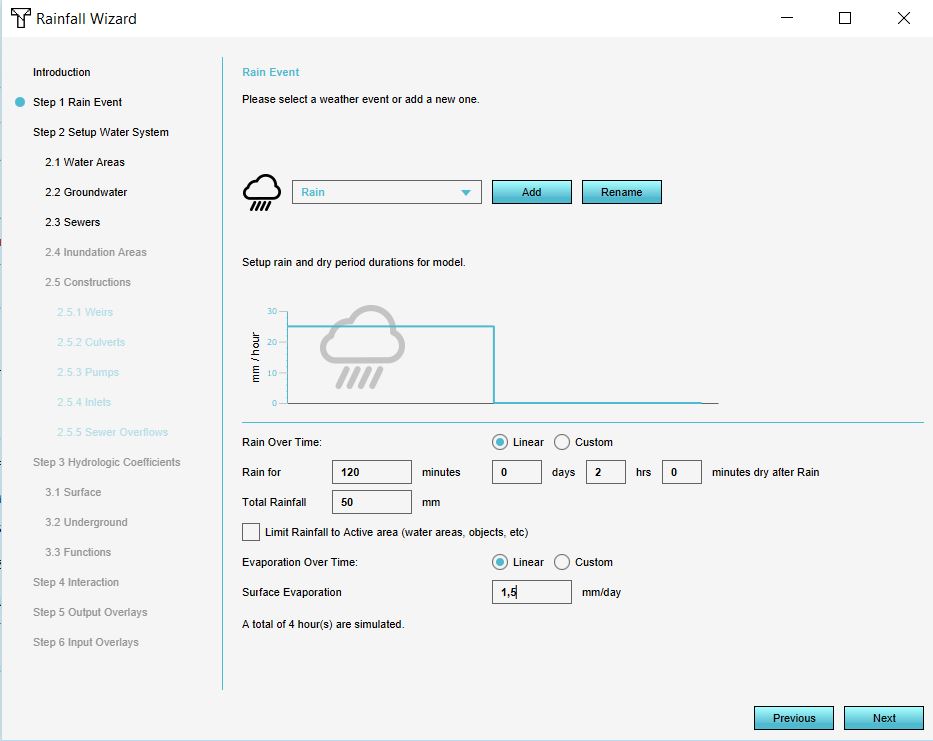
| 08:50, 12 June 2019 | Kockengen tutorial rain event.JPG (file) |  |
62 KB | 1 | |
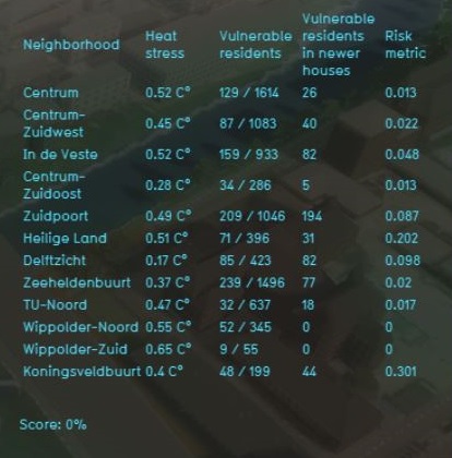
| 10:54, 27 February 2019 | Heat risk panel.JPG (file) |  |
62 KB | 2 | |
| 15:34, 14 January 2020 | Slider 20m.JPG (file) |  |
63 KB | 1 | |
| 10:31, 2 December 2019 | Function values tree height.JPG (file) |  |
63 KB | 2 | |
| 13:02, 26 October 2018 | Inflow.JPG (file) |  |
64 KB | 1 | |
| 12:41, 6 August 2018 | Underground info.JPG (file) |  |
64 KB | 1 | |
| 10:03, 20 June 2018 | Monument csw.JPG (file) |  |
64 KB | 1 | |
| 09:42, 20 December 2019 | Rainfall weirs updated.JPG (file) |  |
65 KB | 1 | |
| 11:52, 24 October 2018 | Edit breach.JPG (file) |  |
65 KB | 1 | |
| 13:29, 15 January 2020 | Building details.JPG (file) |  |
66 KB | 1 | |
| 13:17, 24 October 2018 | Breach two.JPG (file) |  |
67 KB | 1 | |
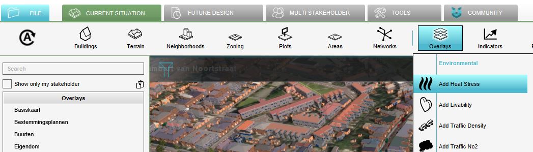
| 13:44, 29 November 2019 | Heat overlay.JPG (file) |  |
67 KB | 1 | |
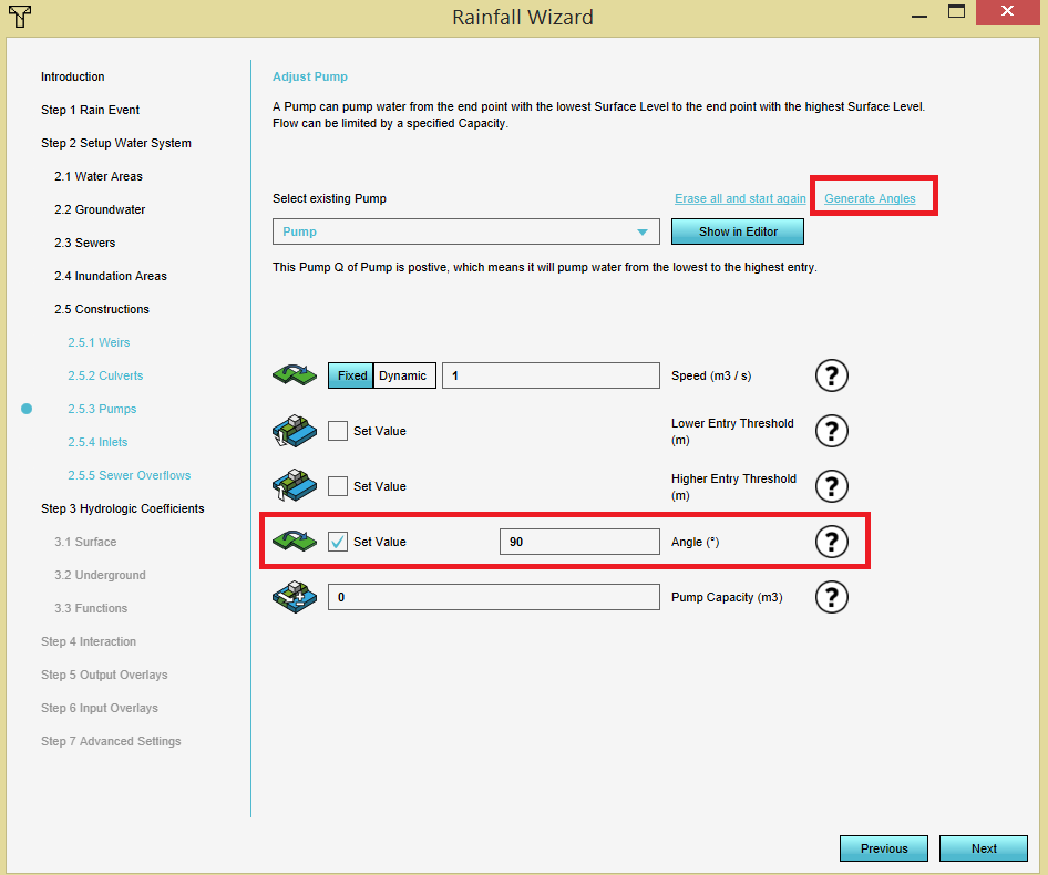
| 09:07, 18 December 2019 | Pump angle.PNG (file) |  |
67 KB | 1 |