Uploads by Godelief@tygron.nl
Jump to navigation
Jump to search
This special page shows all uploaded files.
| Date | Name | Thumbnail | Size | Description | Versions |
|---|---|---|---|---|---|
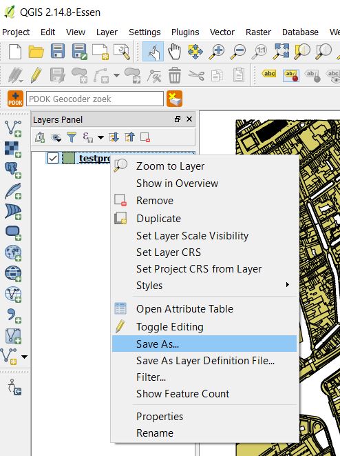
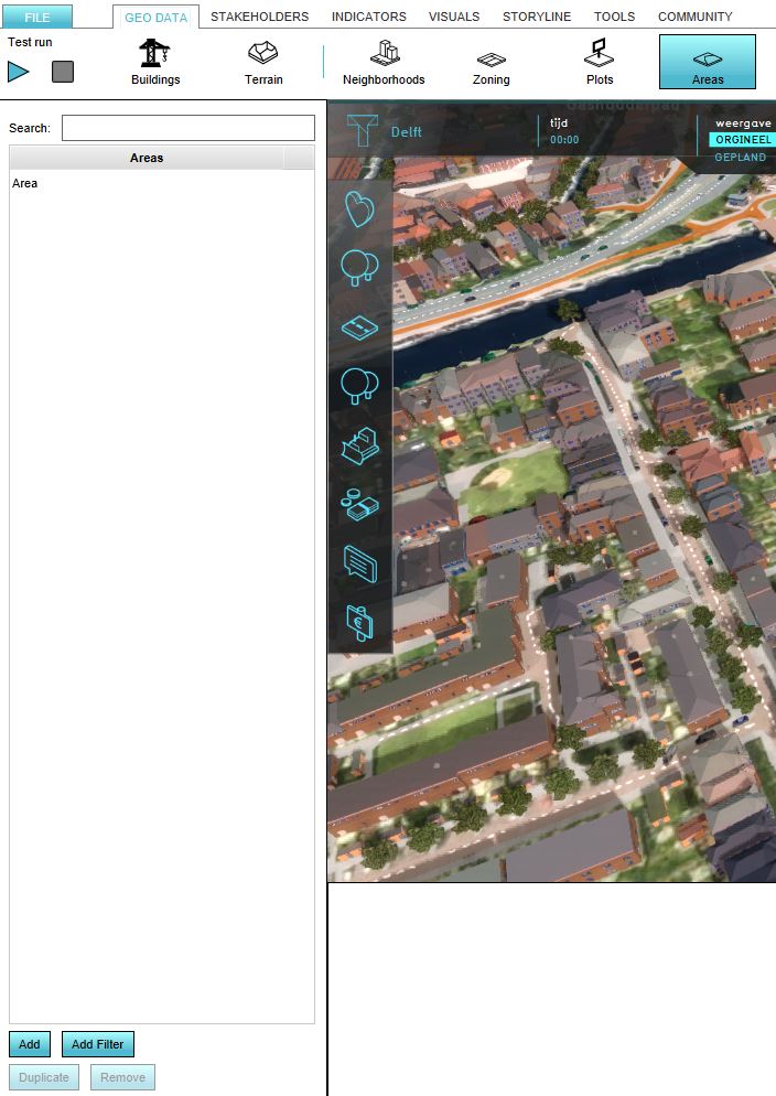
| 10:02, 6 June 2019 | Add areas new interface.JPG (file) | 30 KB | 1 | ||
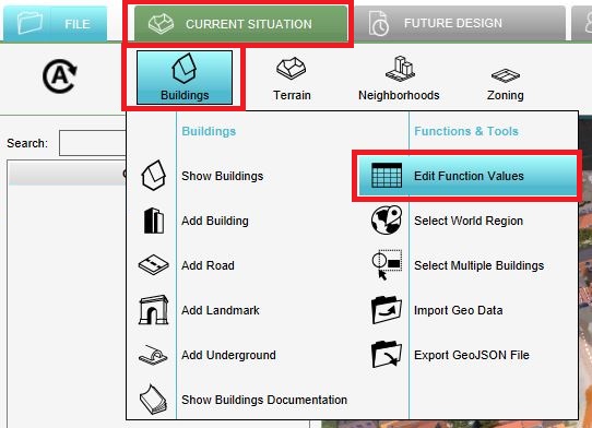
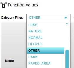
| 09:50, 6 June 2019 | Edit function values.JPG (file) |  |
62 KB | 1 | |
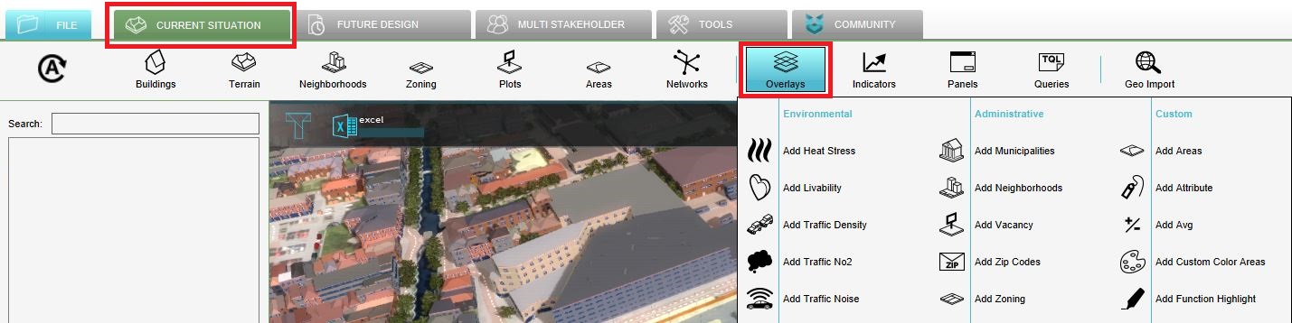
| 09:17, 6 June 2019 | Add overlays new interface.JPG (file) | 132 KB | 1 | ||
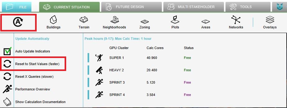
| 09:10, 6 June 2019 | Recalculate excel.JPG (file) |  |
75 KB | 1 | |
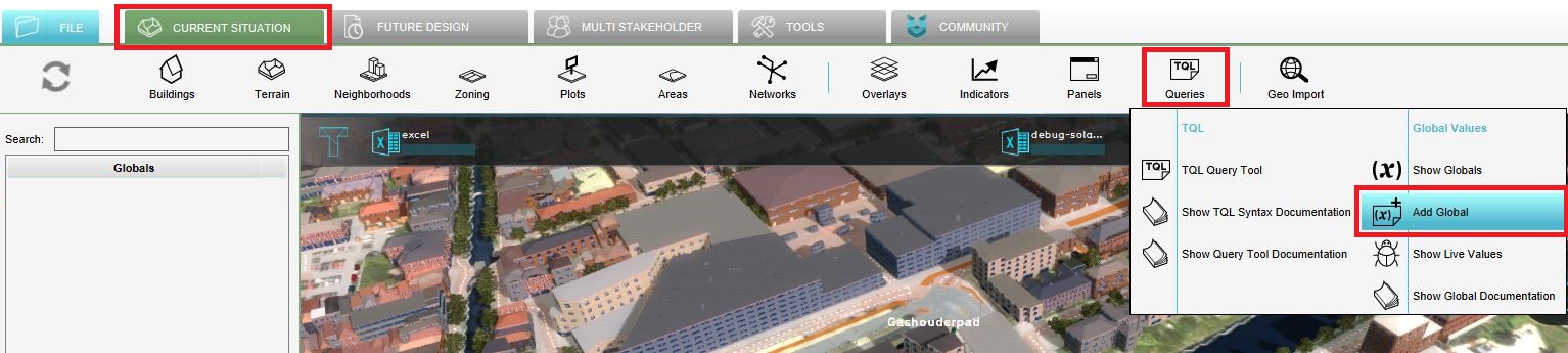
| 09:10, 6 June 2019 | Add global new interface.JPG (file) | 150 KB | 1 | ||
| 12:38, 24 May 2019 | Indicator panel sun.JPG (file) |  |
26 KB | 1 | |
| 12:27, 24 May 2019 | Set globals solar panels.JPG (file) |  |
22 KB | 1 | |
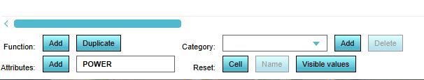
| 13:27, 7 May 2019 | Add attribute.jpg (file) | 26 KB | 1 | ||
| 13:27, 7 May 2019 | Add function table.png (file) | 25 KB | 1 | ||
| 13:27, 7 May 2019 | Add function.JPG (file) | 19 KB | 1 | ||
| 13:26, 7 May 2019 | Category.JPG (file) |  |
16 KB | 1 | |
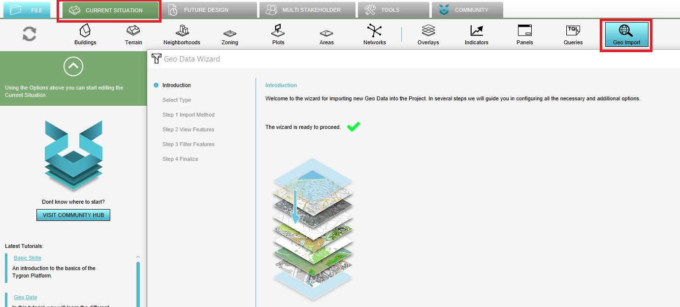
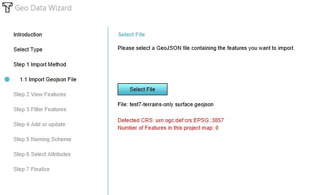
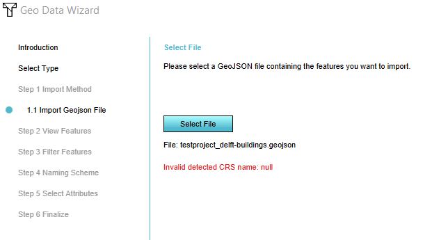
| 09:16, 2 May 2019 | Geo data wizard.JPG (file) |  |
125 KB | 1 | |
| 09:50, 1 May 2019 | Export options.JPG (file) |  |
25 KB | 1 | |
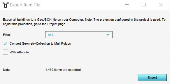
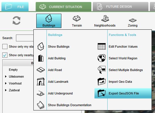
| 09:48, 1 May 2019 | Export geojson file.JPG (file) |  |
44 KB | 1 | |
| 14:59, 30 April 2019 | Location error.JPG (file) |  |
31 KB | 1 | |
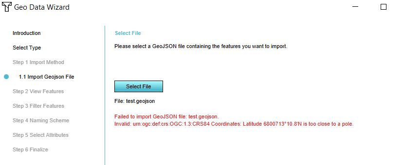
| 14:58, 30 April 2019 | Lonlat error.JPG (file) |  |
32 KB | 1 | |
| 14:54, 30 April 2019 | Error pseudo mercator.JPG (file) |  |
46 KB | 1 | |
| 14:47, 30 April 2019 | Null error crs.JPG (file) |  |
47 KB | 1 | |
| 14:47, 30 April 2019 | Null error save as.JPG (file) |  |
79 KB | 1 | |
| 14:47, 30 April 2019 | Null error.JPG (file) |  |
26 KB | 1 | |
| 13:11, 29 April 2019 | Cancel.JPG (file) |  |
16 KB | 1 | |
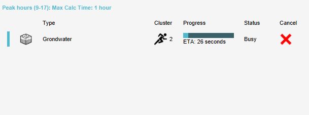
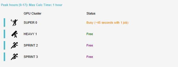
| 13:10, 29 April 2019 | Busy.JPG (file) |  |
18 KB | 1 | |
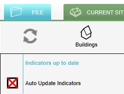
| 12:54, 29 April 2019 | Manual update.JPG (file) |  |
15 KB | 1 | |
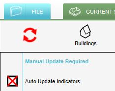
| 12:47, 29 April 2019 | Auto update off.JPG (file) |  |
15 KB | 1 | |
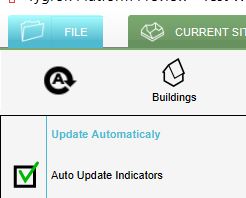
| 12:47, 29 April 2019 | Auto update on.JPG (file) |  |
16 KB | 1 | |
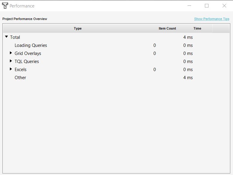
| 12:46, 29 April 2019 | Performance overview.JPG (file) |  |
34 KB | 1 | |
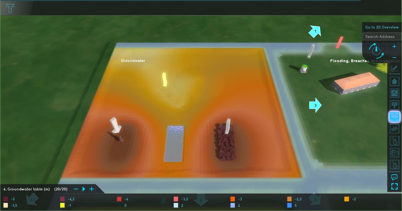
| 09:49, 29 April 2019 | Testbed groundwater.JPG (file) |  |
80 KB | 1 | |
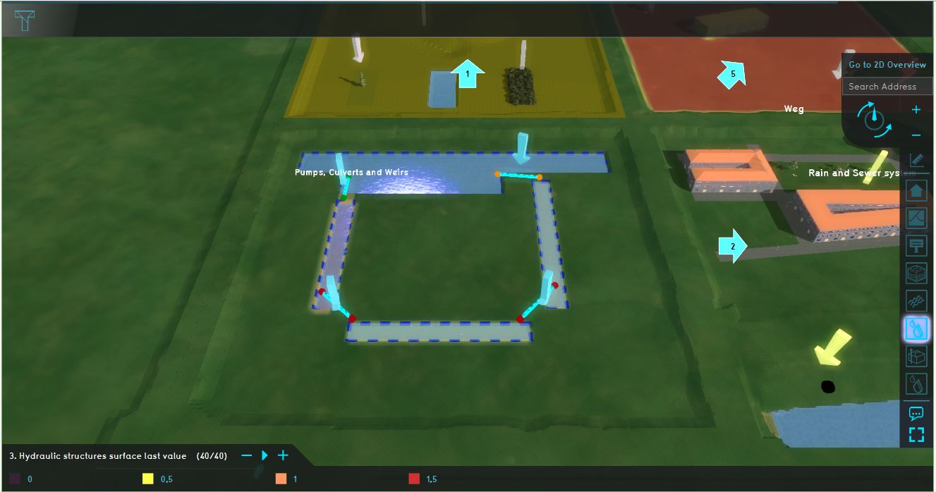
| 09:43, 29 April 2019 | Constructions testbed.JPG (file) |  |
89 KB | 1 | |
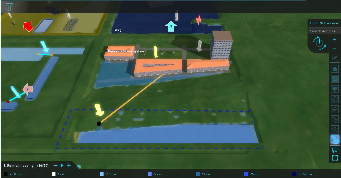
| 09:39, 29 April 2019 | Rainfall testbed.JPG (file) |  |
90 KB | 1 | |
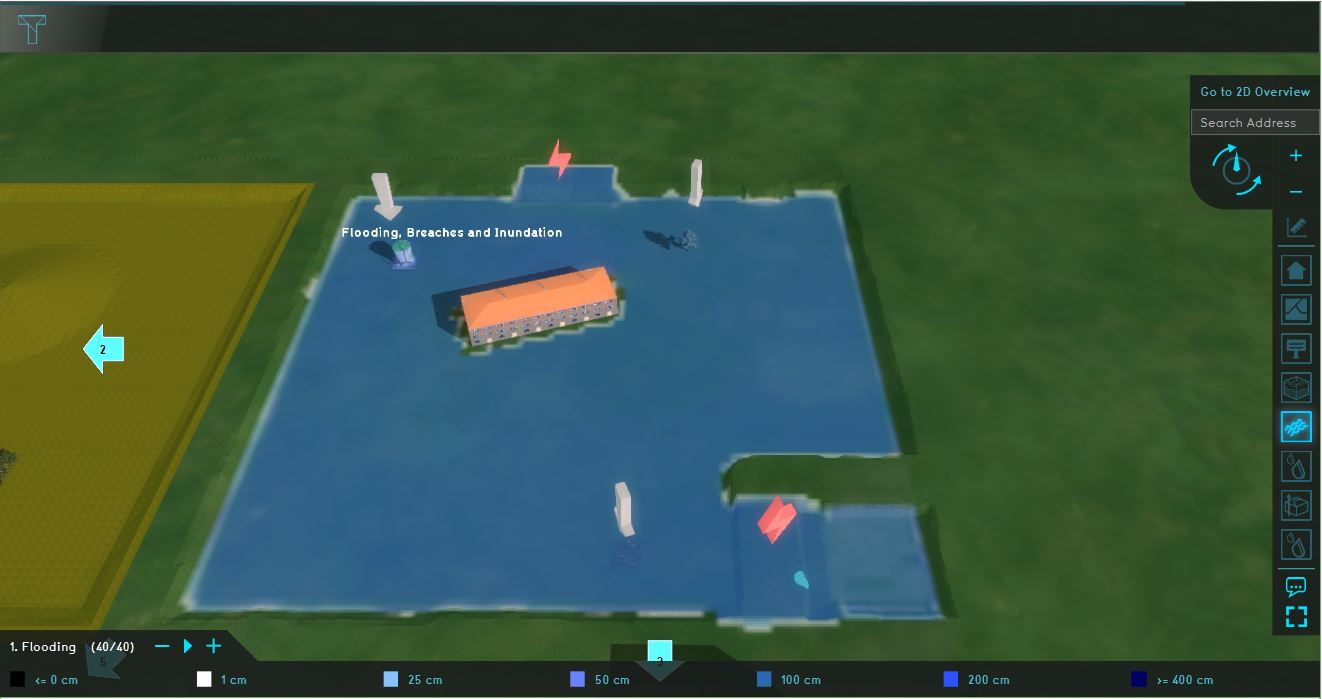
| 09:33, 29 April 2019 | Flooding testbed.JPG (file) |  |
75 KB | 1 | |
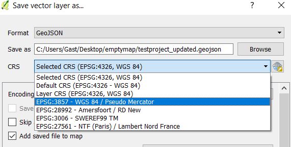
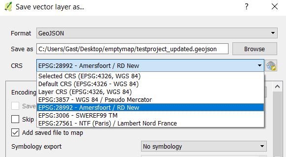
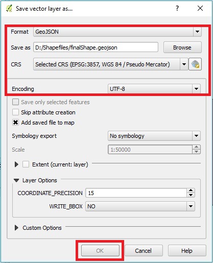
| 09:20, 29 April 2019 | QGISSaveAs updated.jpg (file) |  |
60 KB | 1 | |
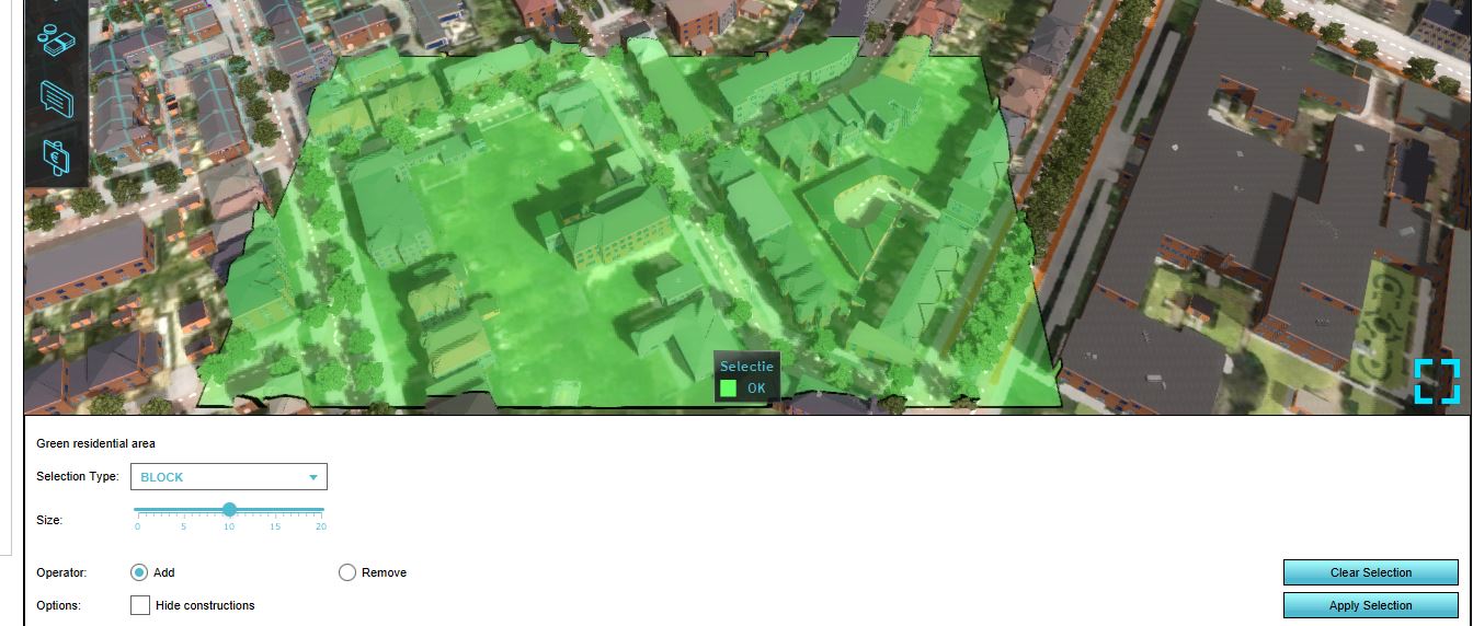
| 13:00, 26 April 2019 | Draw area mkp.JPG (file) |  |
123 KB | 1 | |
| 13:00, 26 April 2019 | Add area.JPG (file) |  |
105 KB | 1 | |
| 12:59, 26 April 2019 | Add attribute to area.JPG (file) |  |
31 KB | 1 | |
| 12:49, 26 April 2019 | Neighborhood attribute.JPG (file) |  |
81 KB | 1 | |
| 09:41, 29 March 2019 | Satefy distance.JPG (file) |  |
32 KB | 1 | |
| 15:38, 15 March 2019 | Density indicator panel.JPG (file) |  |
26 KB | 1 | |
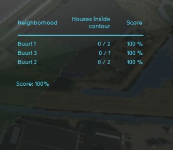
| 13:14, 15 March 2019 | Risk contour indicator.JPG (file) |  |
17 KB | 1 | |
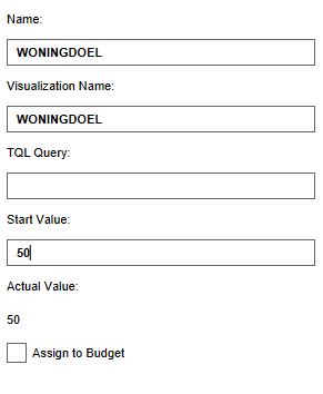
| 13:19, 27 February 2019 | Global woningdoel.JPG (file) |  |
20 KB | 1 | |
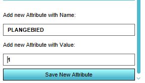
| 13:18, 27 February 2019 | Add attribute plangebied.JPG (file) |  |
17 KB | 1 | |
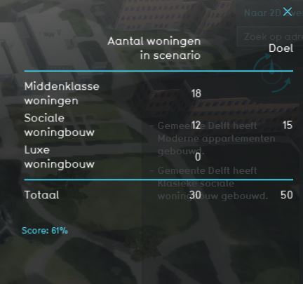
| 13:06, 27 February 2019 | Housing target panel.JPG (file) |  |
27 KB | 1 | |
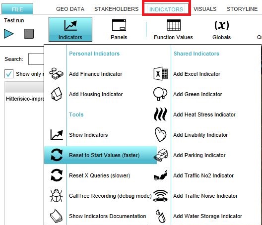
| 11:50, 27 February 2019 | Reset.JPG (file) |  |
76 KB | 2 | |
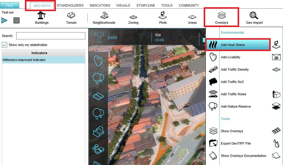
| 11:01, 27 February 2019 | Add heat stress.JPG (file) |  |
156 KB | 2 | |
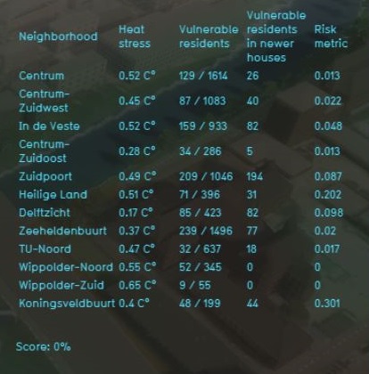
| 10:54, 27 February 2019 | Heat risk panel.JPG (file) |  |
62 KB | 2 | |
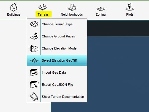
| 14:57, 10 January 2019 | Terrain.JPG (file) |  |
30 KB | 1 | |
| 14:55, 10 January 2019 | Raster settings.JPG (file) |  |
48 KB | 1 | |
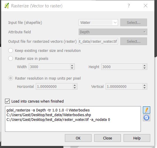
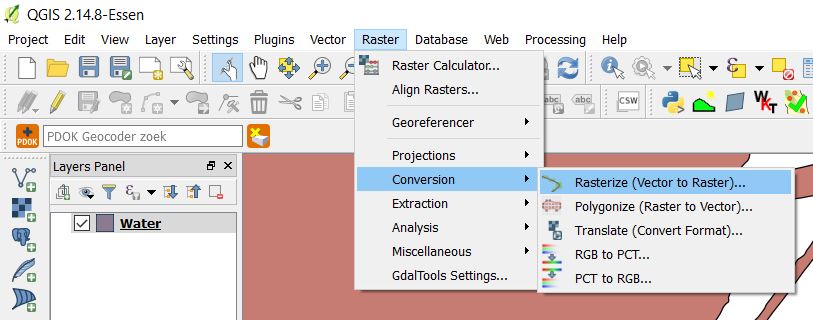
| 14:54, 10 January 2019 | Rasterize.JPG (file) |  |
59 KB | 1 | |
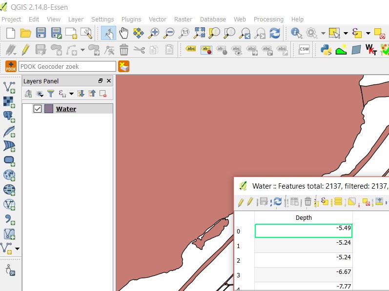
| 14:54, 10 January 2019 | Data.JPG (file) |  |
69 KB | 1 | |
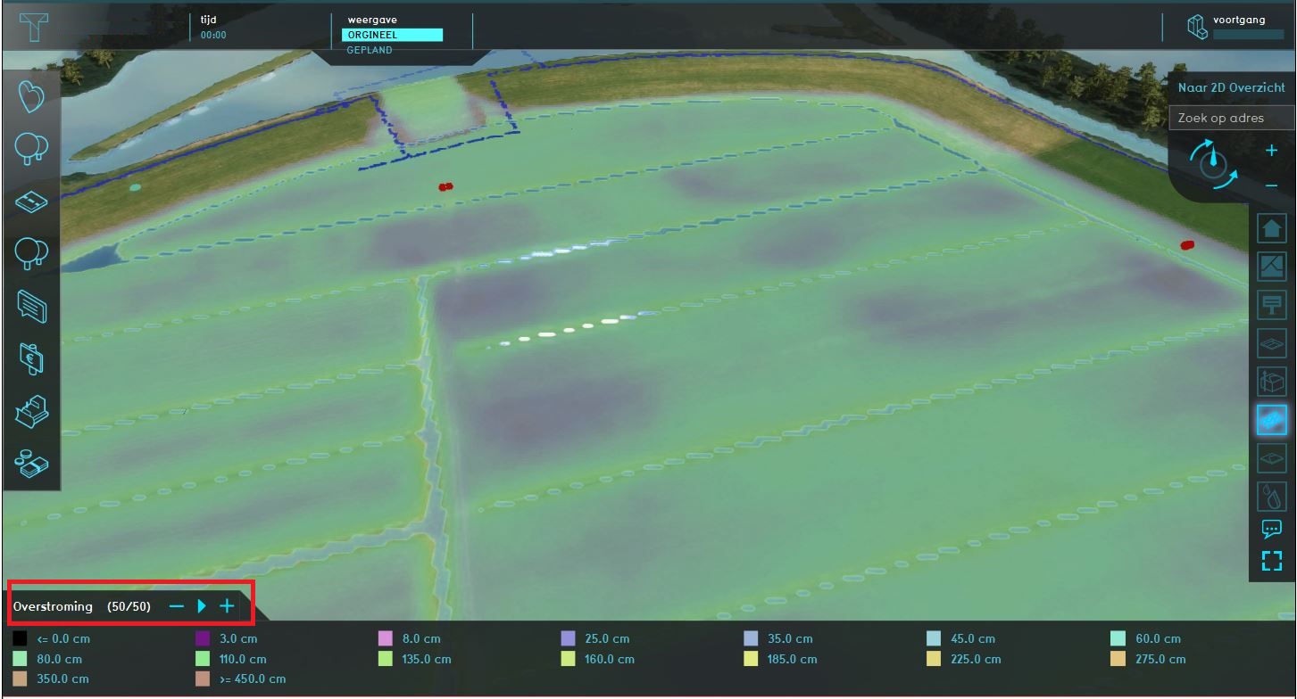
| 11:08, 7 November 2018 | Visualization flooding.JPG (file) |  |
180 KB | 1 | |
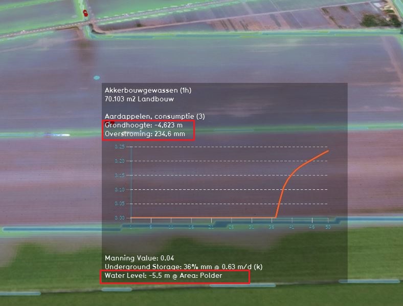
| 11:07, 7 November 2018 | Graph flooding.JPG (file) |  |
96 KB | 1 |