Uploads by Godelief@tygron.nl
Jump to navigation
Jump to search
This special page shows all uploaded files.
| Date | Name | Thumbnail | Size | Description | Versions |
|---|---|---|---|---|---|
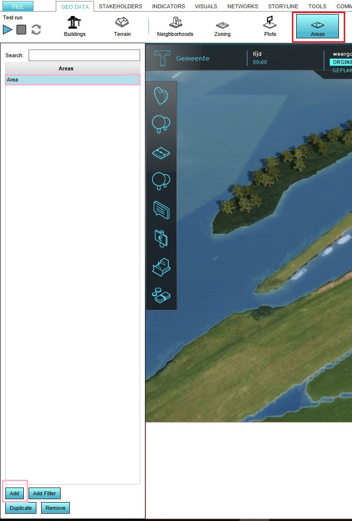
| 13:37, 26 October 2018 | Create area.JPG (file) |  |
114 KB | 1 | |
| 15:21, 29 November 2019 | Foliage areas in platform.JPG (file) |  |
110 KB | 1 | |
| 09:28, 20 August 2019 | Dataset in Platform.JPG (file) |  |
110 KB | 1 | |
| 09:53, 17 December 2019 | Urbanization.JPG (file) |  |
110 KB | 1 | |
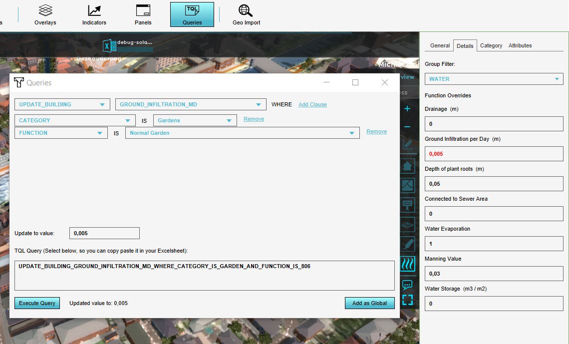
| 15:16, 17 June 2019 | Update tql.JPG (file) |  |
110 KB | 1 | |
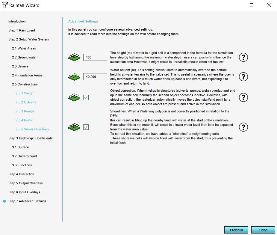
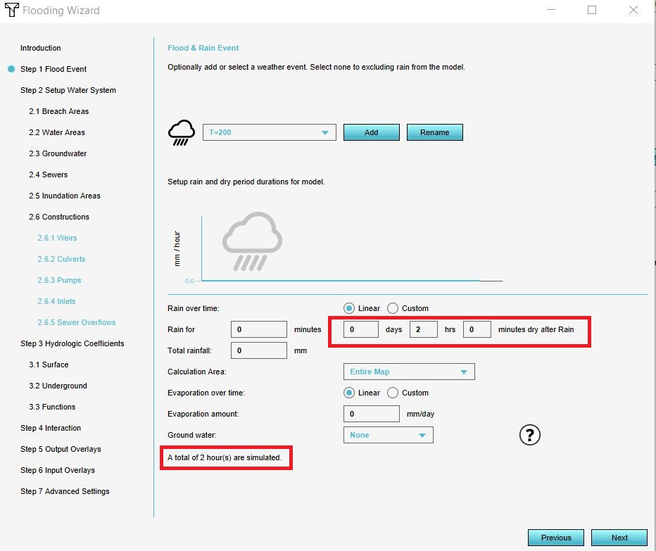
| 13:20, 16 December 2019 | Advanced settings rainfall.JPG (file) |  |
106 KB | 2 | |
| 09:22, 20 August 2019 | Different categories.JPG (file) |  |
106 KB | 1 | |
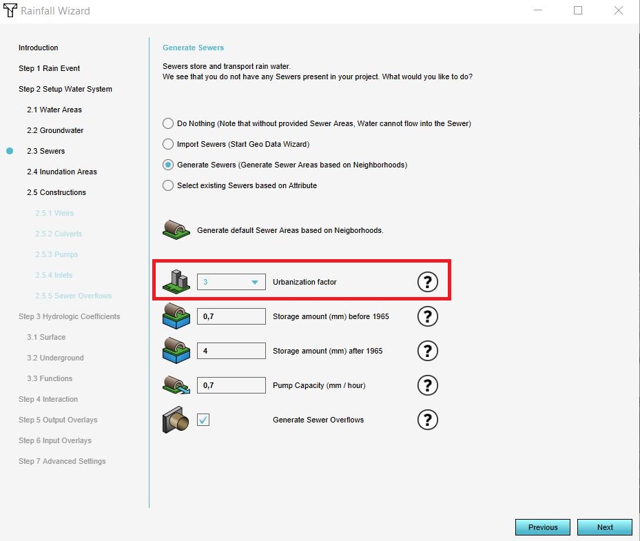
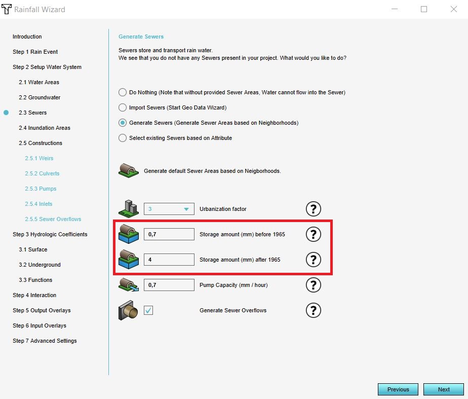
| 10:32, 19 December 2019 | Sewer areas.JPG (file) |  |
106 KB | 1 | |
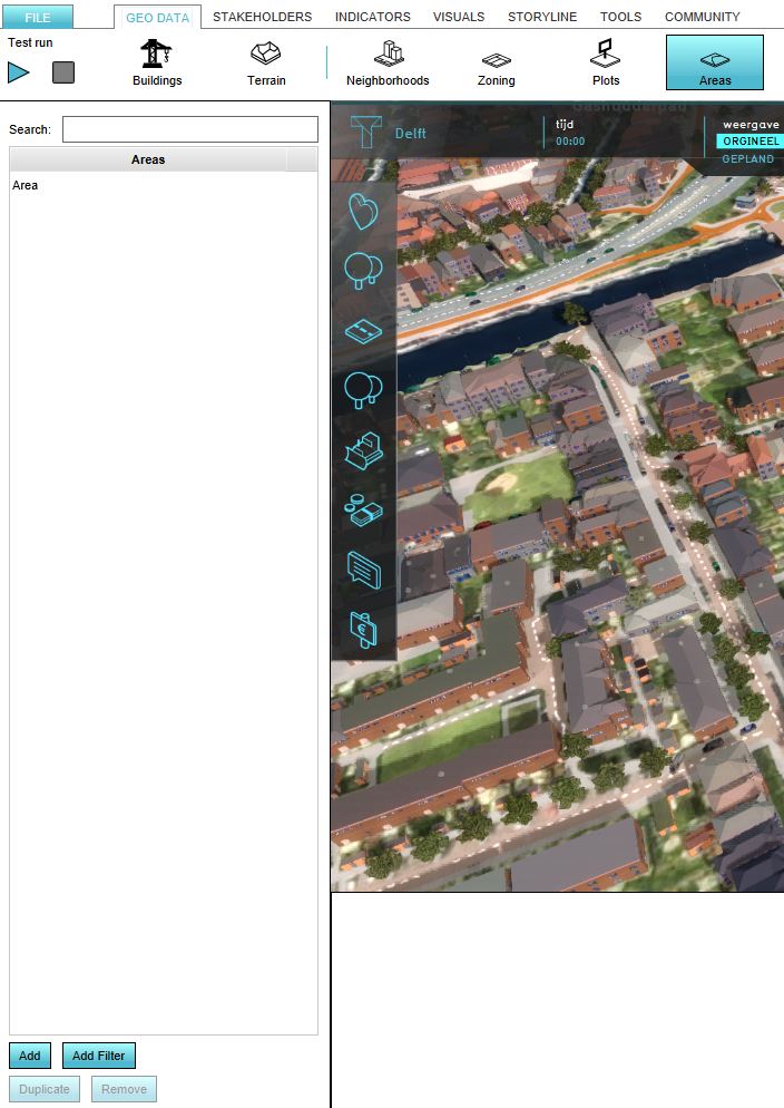
| 13:00, 26 April 2019 | Add area.JPG (file) |  |
105 KB | 1 | |
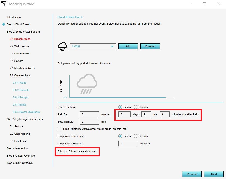
| 09:38, 31 January 2020 | Updated flood event.JPG (file) |  |
100 KB | 1 | |
| 14:53, 27 September 2019 | Wms arcMap.png (file) |  |
99 KB | 1 | |
| 14:42, 10 January 2020 | Simulation period.JPG (file) |  |
99 KB | 1 | |
| 08:27, 22 June 2018 | Trees.JPG (file) |  |
96 KB | 1 | |
| 11:07, 7 November 2018 | Graph flooding.JPG (file) |  |
96 KB | 1 | |
| 15:05, 27 January 2020 | Teken bres.JPG (file) |  |
96 KB | 1 | |
| 13:27, 15 January 2020 | Select hotel.JPG (file) |  |
94 KB | 1 | |
| 10:23, 31 January 2020 | Video.JPG (file) | 92 KB | 1 | ||
| 14:43, 27 September 2019 | Buurten wms.JPG (file) |  |
91 KB | 1 | |
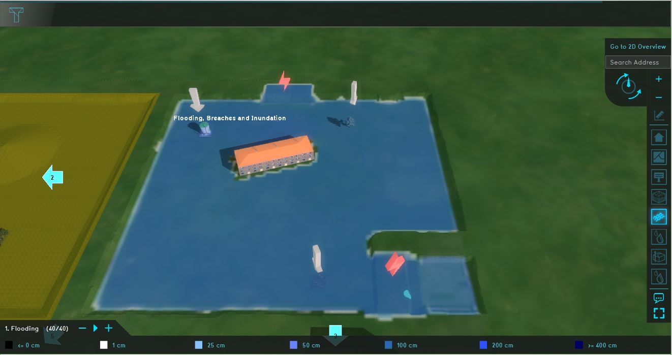
| 10:27, 19 November 2019 | Breach.JPG (file) |  |
90 KB | 1 | |
| 09:39, 29 April 2019 | Rainfall testbed.JPG (file) |  |
90 KB | 1 | |
| 09:43, 29 April 2019 | Constructions testbed.JPG (file) |  |
89 KB | 1 | |
| 13:49, 8 May 2018 | Average overlay example.JPG (file) |  |
88 KB | 1 | |
| 08:16, 22 June 2018 | New plan 2.JPG (file) |  |
87 KB | 1 | |
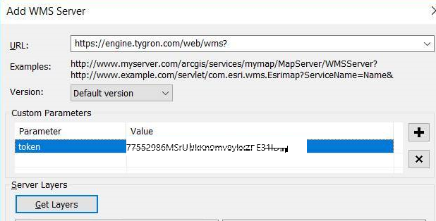
| 14:42, 27 September 2019 | Add wms.JPG (file) |  |
87 KB | 1 | |
| 10:40, 26 February 2020 | Choose private data.JPG (file) |  |
86 KB | 2 | |
| 13:48, 20 December 2019 | Measurement tutorial.JPG (file) |  |
84 KB | 1 | |
| 14:50, 25 February 2020 | Sign in arcgis.JPG (file) |  |
83 KB | 1 | |
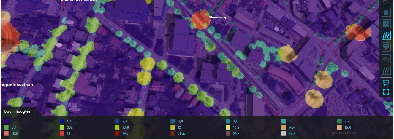
| 15:13, 29 November 2019 | Example boomkronen.JPG (file) |  |
83 KB | 1 | |
| 14:43, 27 September 2019 | Add layer wms.JPG (file) |  |
82 KB | 1 | |
| 12:49, 26 April 2019 | Neighborhood attribute.JPG (file) |  |
81 KB | 1 | |
| 09:49, 29 April 2019 | Testbed groundwater.JPG (file) |  |
80 KB | 1 | |
| 13:19, 24 October 2018 | Breach areas.JPG (file) |  |
80 KB | 1 | |
| 15:46, 30 October 2019 | Wss done install.JPG (file) |  |
79 KB | 1 | |
| 14:47, 30 April 2019 | Null error save as.JPG (file) |  |
79 KB | 1 | |
| 15:41, 30 October 2019 | Wss 1.JPG (file) |  |
79 KB | 1 | |
| 15:45, 30 October 2019 | Wss install.JPG (file) |  |
78 KB | 1 | |
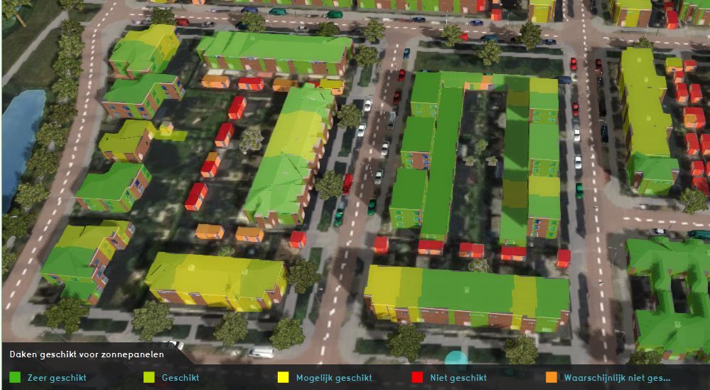
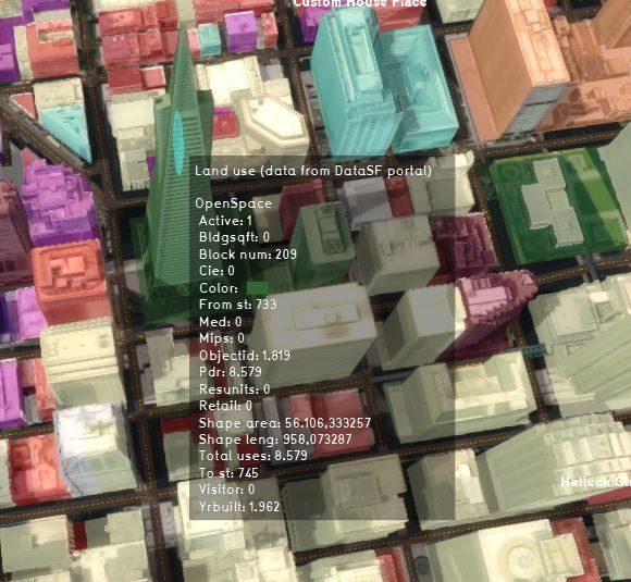
| 14:22, 12 February 2020 | Land use more info.JPG (file) |  |
77 KB | 1 | |
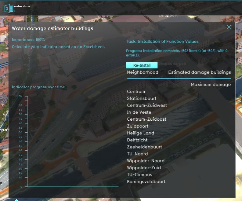
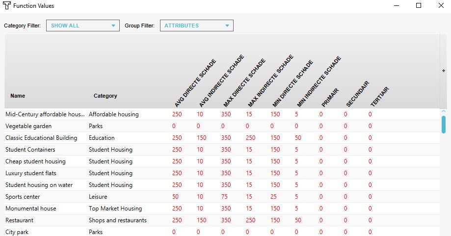
| 15:53, 30 October 2019 | Wss function values.JPG (file) |  |
77 KB | 1 | |
| 10:38, 19 November 2019 | Bres external wizard.JPG (file) |  |
76 KB | 1 | |
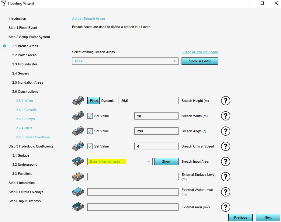
| 10:42, 19 November 2019 | Bres internal wizard.JPG (file) |  |
76 KB | 1 | |
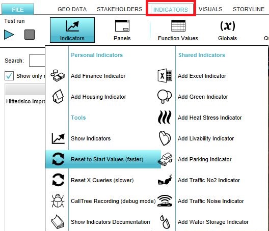
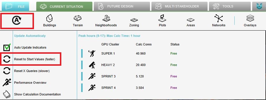
| 11:50, 27 February 2019 | Reset.JPG (file) |  |
76 KB | 2 | |
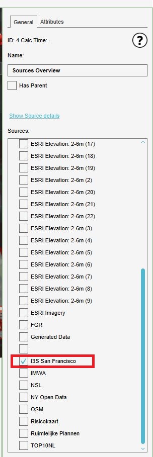
| 15:09, 14 January 2020 | Check i3s.JPG (file) |  |
75 KB | 1 | |
| 09:33, 29 April 2019 | Flooding testbed.JPG (file) |  |
75 KB | 1 | |
| 09:10, 6 June 2019 | Recalculate excel.JPG (file) |  |
75 KB | 1 | |
| 15:12, 14 January 2020 | City overlay.JPG (file) |  |
73 KB | 1 | |
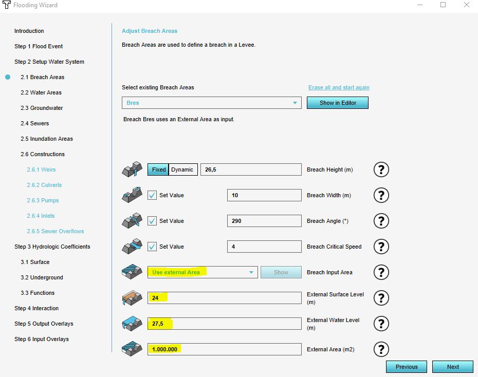
| 15:22, 14 January 2020 | Breach external area settings.JPG (file) |  |
72 KB | 2 | |
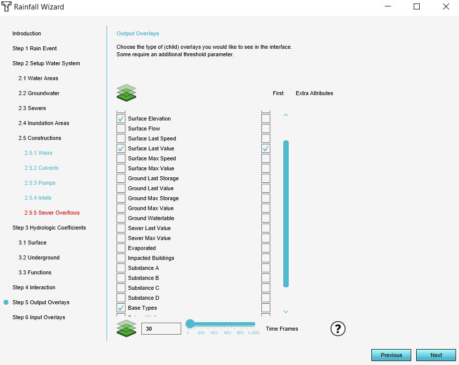
| 14:14, 21 January 2020 | Step 5 wizard.JPG (file) |  |
72 KB | 1 | |
| 12:35, 27 September 2018 | General tab.JPG (file) |  |
71 KB | 1 | |
| 13:03, 26 October 2018 | Outflow.JPG (file) |  |
71 KB | 1 | |
| 12:42, 20 December 2019 | Rainfall results.JPG (file) |  |
71 KB | 2 |