Uploads by Godelief@tygron.nl
Jump to navigation
Jump to search
This special page shows all uploaded files.
| Date | Name | Thumbnail | Size | Description | Versions |
|---|---|---|---|---|---|
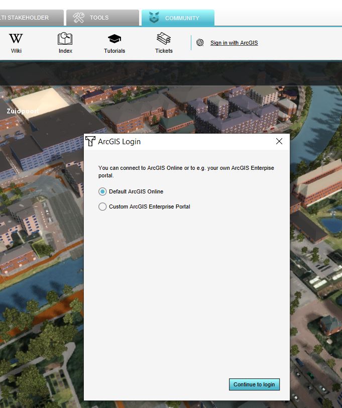
| 14:50, 25 February 2020 | Sign in arcgis.JPG (file) |  |
83 KB | 1 | |
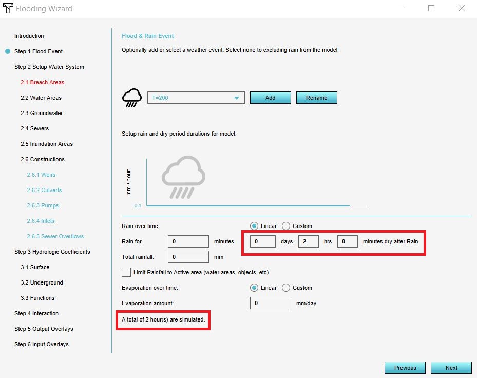
| 14:42, 10 January 2020 | Simulation period.JPG (file) |  |
99 KB | 1 | |
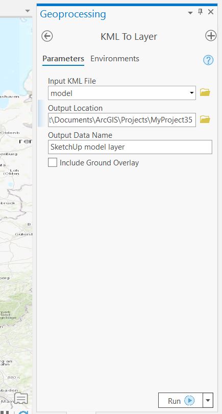
| 12:54, 25 February 2020 | Sketchup layer.JPG (file) |  |
42 KB | 1 | |
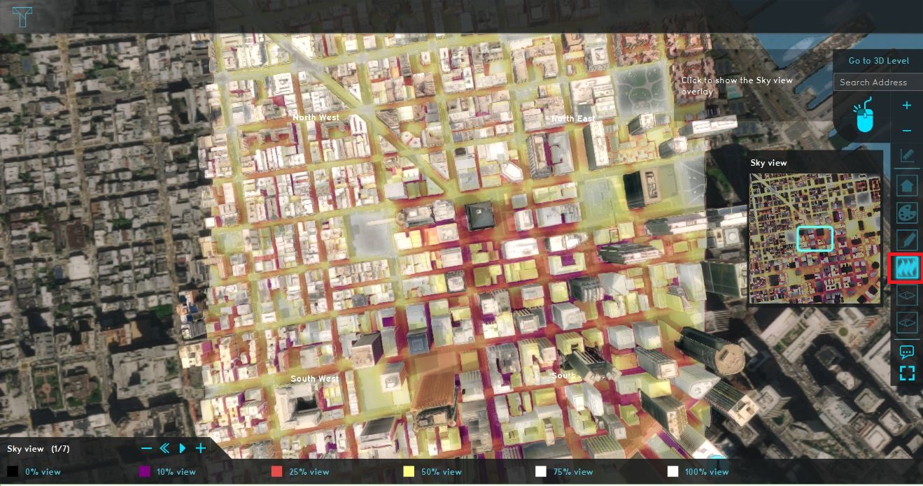
| 14:05, 12 February 2020 | Sky view data.JPG (file) |  |
344 KB | 1 | |
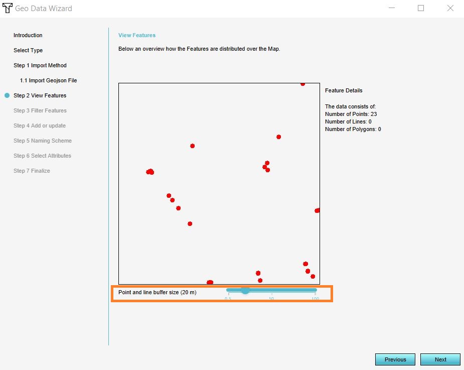
| 15:34, 14 January 2020 | Slider 20m.JPG (file) |  |
63 KB | 1 | |
| 15:12, 14 January 2020 | Source i3s.JPG (file) |  |
202 KB | 1 | |
| 10:56, 21 January 2020 | Source overlay template.JPG (file) |  |
139 KB | 1 | |
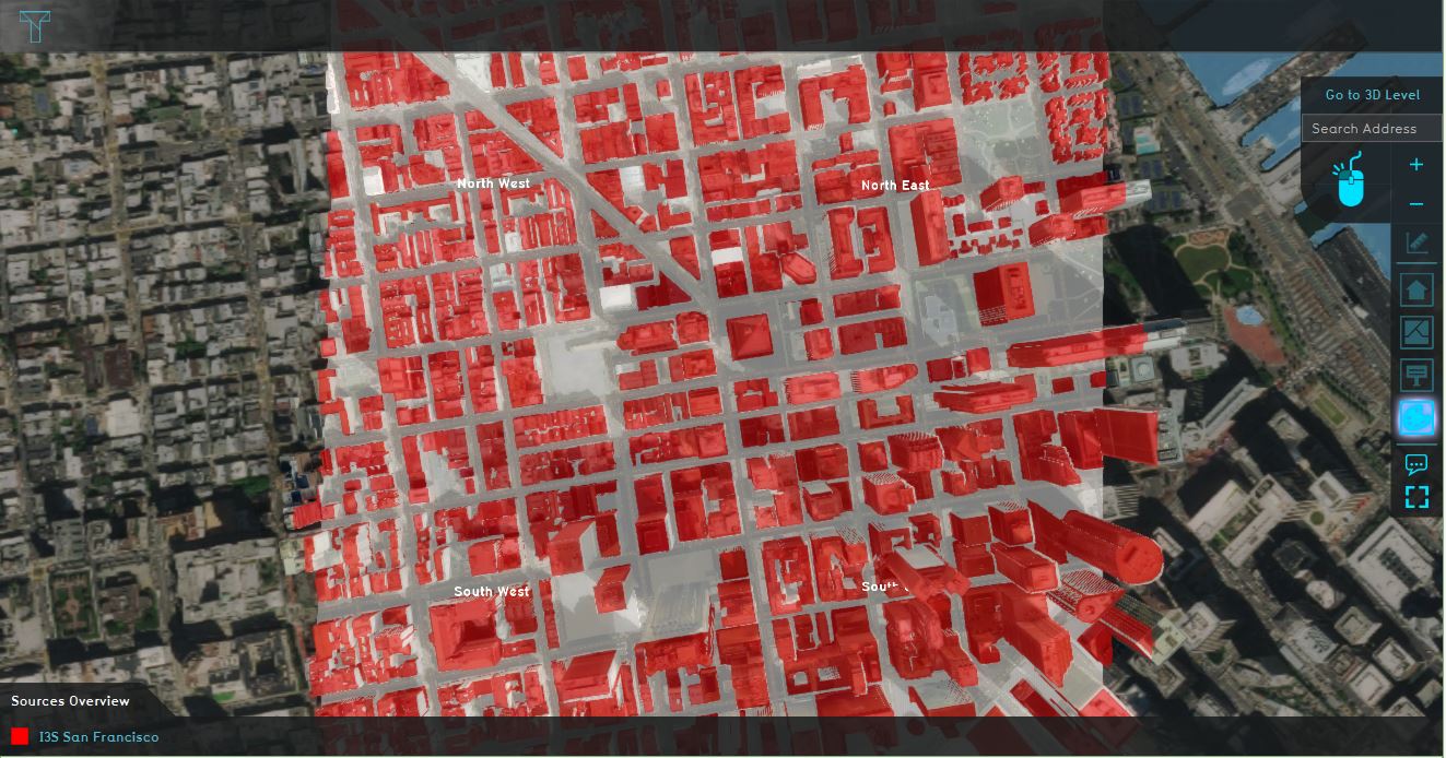
| 14:08, 12 February 2020 | Sources i3s.JPG (file) |  |
433 KB | 1 | |
| 08:15, 22 June 2018 | Stakeholders.JPG (file) |  |
54 KB | 1 | |
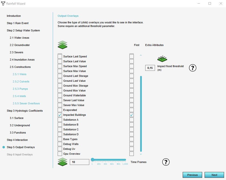
| 14:14, 21 January 2020 | Step 5 wizard.JPG (file) |  |
72 KB | 1 | |
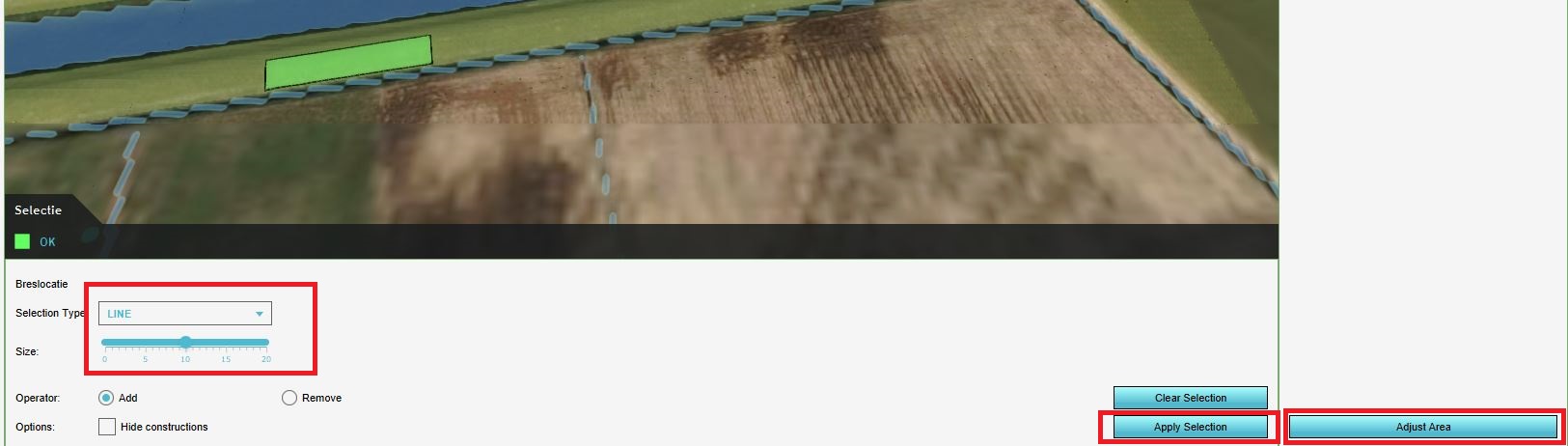
| 15:05, 27 January 2020 | Teken bres.JPG (file) |  |
96 KB | 1 | |
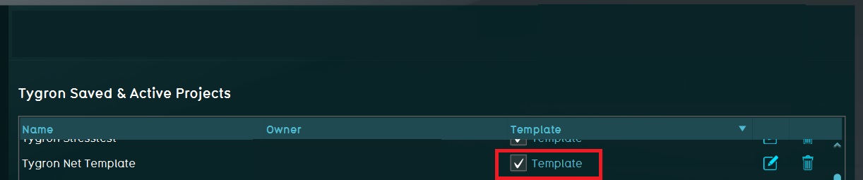
| 13:46, 7 May 2018 | Template projects.JPG (file) | 36 KB | 1 | ||
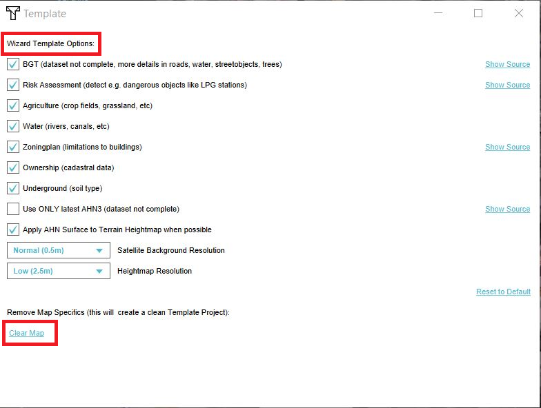
| 11:58, 8 May 2018 | Template settings panel.png (file) |  |
193 KB | 1 | |
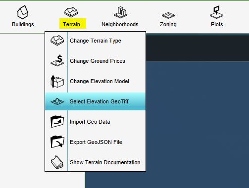
| 14:57, 10 January 2019 | Terrain.JPG (file) |  |
30 KB | 1 | |
| 09:49, 29 April 2019 | Testbed groundwater.JPG (file) |  |
80 KB | 1 | |
| 11:53, 24 October 2018 | Time units.JPG (file) |  |
36 KB | 1 | |
| 08:27, 22 June 2018 | Trees.JPG (file) |  |
96 KB | 1 | |
| 08:12, 22 June 2018 | Type buildings.JPG (file) |  |
43 KB | 1 | |
| 14:07, 10 January 2020 | Uncheck imwa.JPG (file) |  |
204 KB | 1 | |
| 12:37, 6 August 2018 | Underground.JPG (file) |  |
221 KB | 1 | |
| 12:41, 6 August 2018 | Underground info.JPG (file) |  |
64 KB | 1 | |
| 12:42, 6 August 2018 | Underground info objects.JPG (file) |  |
55 KB | 1 | |
| 09:53, 22 August 2019 | Update extra attribute.PNG (file) |  |
18 KB | 1 | |
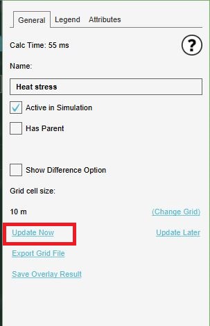
| 09:13, 12 June 2019 | Update now.JPG (file) |  |
32 KB | 1 | |
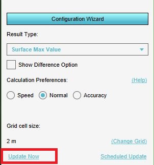
| 13:28, 21 January 2020 | Update now overlay.JPG (file) |  |
30 KB | 1 | |
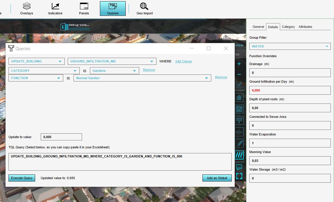
| 15:16, 17 June 2019 | Update tql.JPG (file) |  |
110 KB | 1 | |
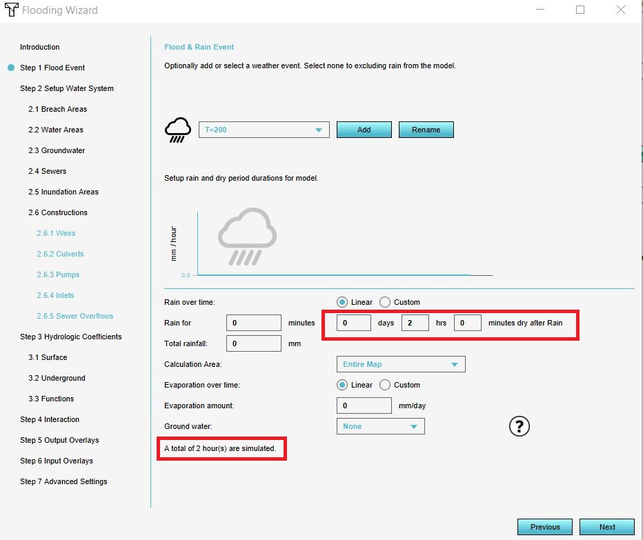
| 09:38, 31 January 2020 | Updated flood event.JPG (file) |  |
100 KB | 1 | |
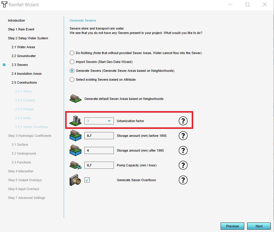
| 09:53, 17 December 2019 | Urbanization.JPG (file) |  |
110 KB | 1 | |
| 14:06, 10 January 2020 | Use template.JPG (file) |  |
57 KB | 1 | |
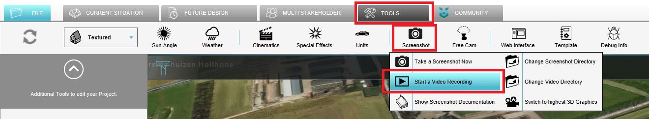
| 10:23, 31 January 2020 | Video.JPG (file) | 92 KB | 1 | ||
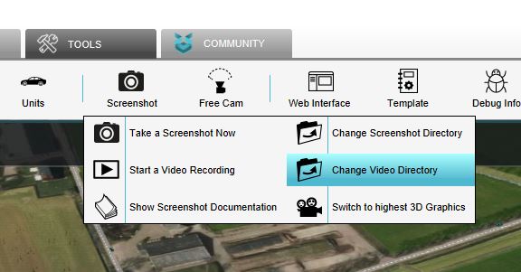
| 10:29, 31 January 2020 | Video directory.JPG (file) |  |
38 KB | 1 | |
| 10:28, 31 January 2020 | Video hd.JPG (file) |  |
36 KB | 1 | |
| 11:08, 7 November 2018 | Visualization flooding.JPG (file) |  |
180 KB | 1 | |
| 15:48, 14 January 2020 | Water level peilgebieden.JPG (file) |  |
32 KB | 1 | |
| 13:14, 26 October 2018 | Waterbalance panel.JPG (file) |  |
46 KB | 1 | |
| 14:25, 26 October 2018 | Waterbalance scenario2.JPG (file) |  |
39 KB | 1 | |
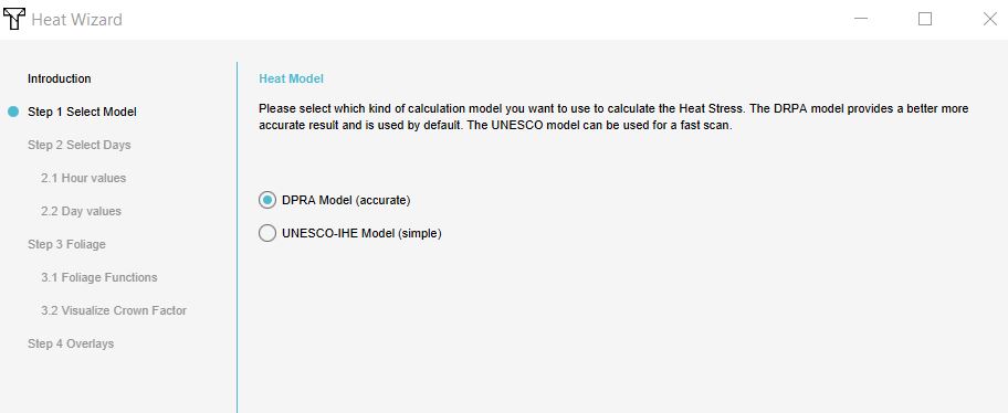
| 13:45, 29 November 2019 | Wizard dpra.JPG (file) |  |
32 KB | 1 | |
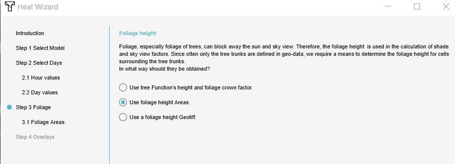
| 13:45, 29 November 2019 | Wizard foliage areas.JPG (file) |  |
40 KB | 1 | |
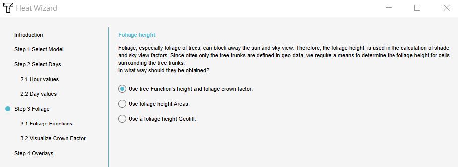
| 10:29, 2 December 2019 | Wizard tree functions.JPG (file) |  |
42 KB | 1 | |
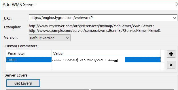
| 14:53, 27 September 2019 | Wms arcMap.png (file) |  |
99 KB | 1 | |
| 15:41, 30 October 2019 | Wss 1.JPG (file) |  |
79 KB | 1 | |
| 15:46, 30 October 2019 | Wss done install.JPG (file) |  |
79 KB | 1 | |
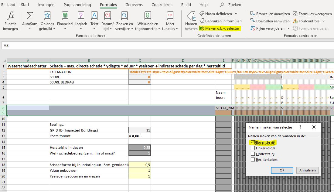
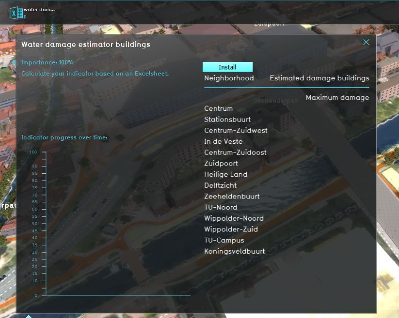
| 15:45, 30 October 2019 | Wss excel new.JPG (file) |  |
143 KB | 1 | |
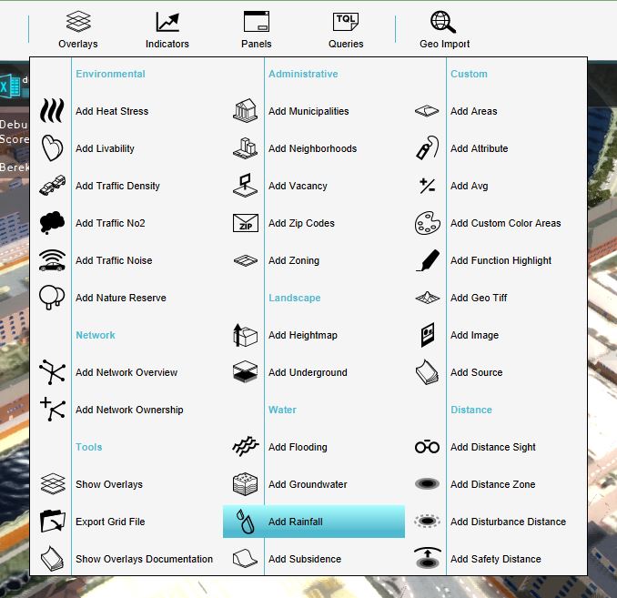
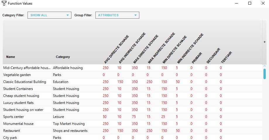
| 15:53, 30 October 2019 | Wss function values.JPG (file) |  |
77 KB | 1 | |
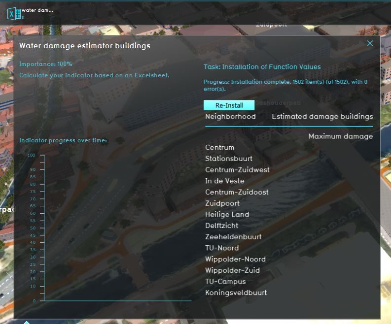
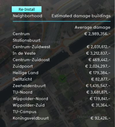
| 15:42, 30 October 2019 | Wss impacted.JPG (file) |  |
70 KB | 1 | |
| 15:47, 30 October 2019 | Wss indicator panel.JPG (file) |  |
40 KB | 1 | |
| 15:45, 30 October 2019 | Wss install.JPG (file) |  |
78 KB | 1 | |
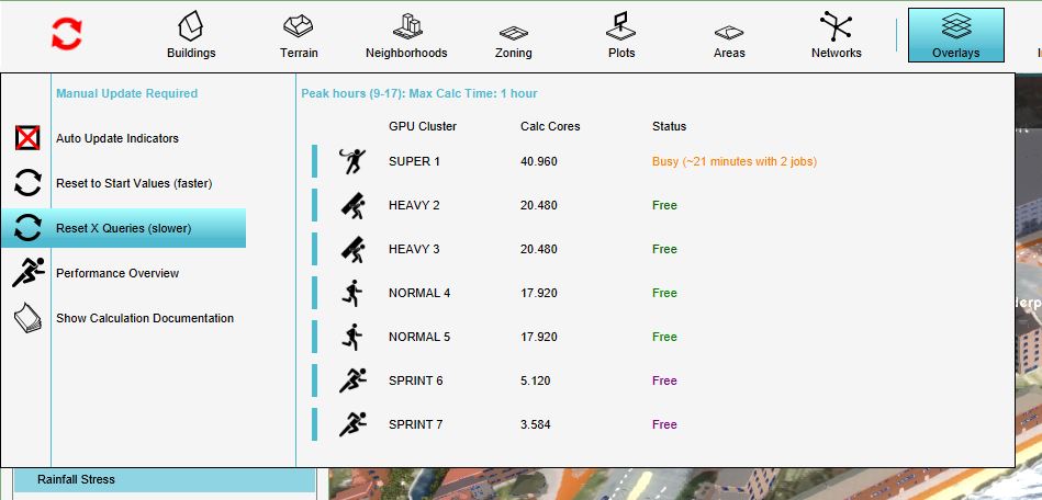
| 15:42, 30 October 2019 | Wss reset x.JPG (file) |  |
62 KB | 1 | |
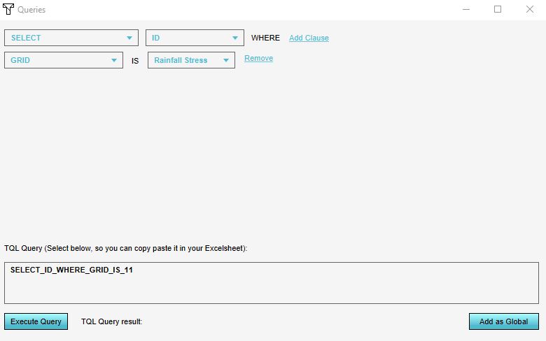
| 15:43, 30 October 2019 | Wss select id.JPG (file) |  |
30 KB | 1 | |
| 13:03, 6 August 2018 | Zipcodes.JPG (file) |  |
240 KB | 1 |