Groundwater Overlay: Difference between revisions
Jump to navigation
Jump to search
No edit summary |
No edit summary |
||
| Line 1: | Line 1: | ||
[[File:GroundwaterOverlay2.png|right|thumb|200px|Groundwater overlay]] | |||
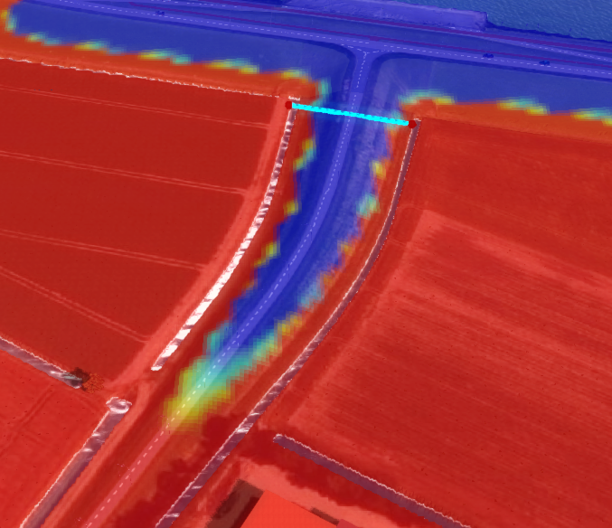
| | The Groundwater overlay uses the [[Water Module|water module]] in the Tygron Platform to calculate and visualize the movement of water underground and the resulting [[Watertable|watertable]]. | ||
| | |||
| | |||
| | |||
| | |||
{{Template:Overlay nav}} | ==Flooding overlay results== | ||
[[Results (Water Overlay)|Flooding overlay results]]<br> | |||
[[Result type (Water Overlay)#List of Result Types|List of Result Types]] | |||
===How-to's=== | |||
* [[How-to add and remove an overlay|Add and remove an overlay]] | |||
* [[How-to configure a Water Overlay|Configure a Water Overlay]] | |||
* [[How-to use a Water Overlay|Use a Water Overlay]] | |||
* [[How-to edit an overlay legend|Edit an overlay legend]] | |||
* [[How-to_add_Subsidence_Overlay|Combine with Subsidence Overlay]] | |||
{{Template:Overlay nav}} | |||
Revision as of 10:45, 9 April 2019
The Groundwater overlay uses the water module in the Tygron Platform to calculate and visualize the movement of water underground and the resulting watertable.
Flooding overlay results
Flooding overlay results
List of Result Types
How-to's
- Add and remove an overlay
- Configure a Water Overlay
- Use a Water Overlay
- Edit an overlay legend
- Combine with Subsidence Overlay
