Unused files
Jump to navigation
Jump to search
The following files exist but are not embedded in any page. Please note that other web sites may link to a file with a direct URL, and so may still be listed here despite being in active use.
Showing below up to 50 results in range #481 to #530.
View (previous 50 | next 50) (20 | 50 | 100 | 250 | 500)
 Heat-step3.1.PNG 936 × 793; 22 KB
 Heat-step3.2.PNG 936 × 793; 20 KB
 Heat-step4.PNG 936 × 793; 32 KB
 Weirs angel.jpg 930 × 790; 86 KB
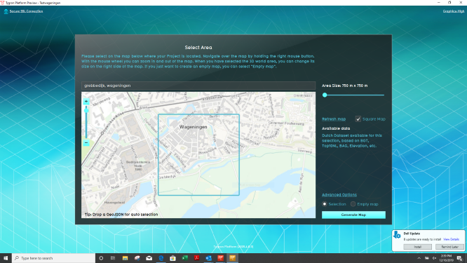 Wageningen project area.PNG 666 × 375; 336 KB
 Wageningen project area th.PNG 666 × 375; 336 KB
 Difference overlay.png 110 × 110; 6 KB
 Difference overlay icoon.jpg 110 × 110; 6 KB
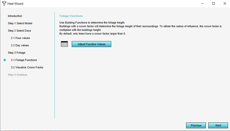 Step 3.1 Foliage Functions.jpg 933 × 535; 54 KB
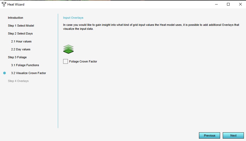 Step 3.2 Visualize Crown Factor.jpg 931 × 535; 48 KB
 General tab kockengen tut.JPG 288 × 644; 31 KB
 Simulation period.JPG 929 × 736; 99 KB
 Naming peilgebied.JPG 929 × 451; 35 KB
 Water level peilgebieden.JPG 924 × 333; 32 KB
 Ahn naming.JPG 934 × 468; 34 KB
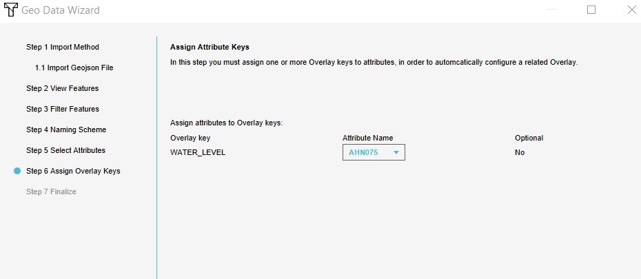 Ahn water level.JPG 930 × 405; 32 KB
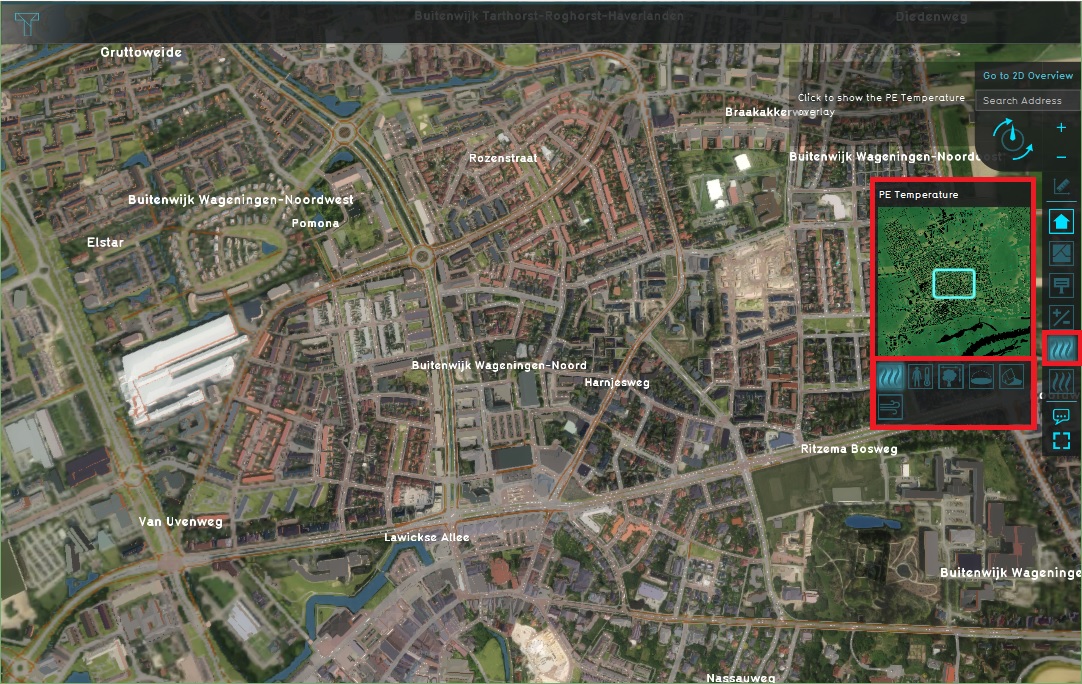 PE Temperature.jpg 1,082 × 684; 378 KB
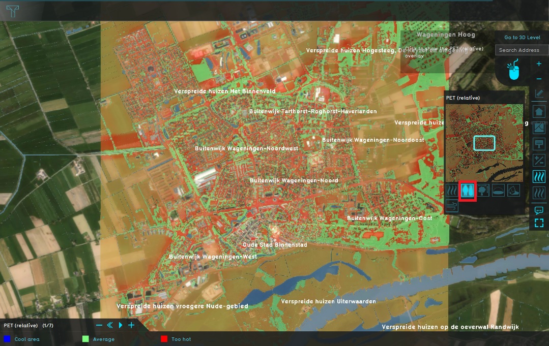 PE Temperature Relative.jpg 1,079 × 681; 324 KB
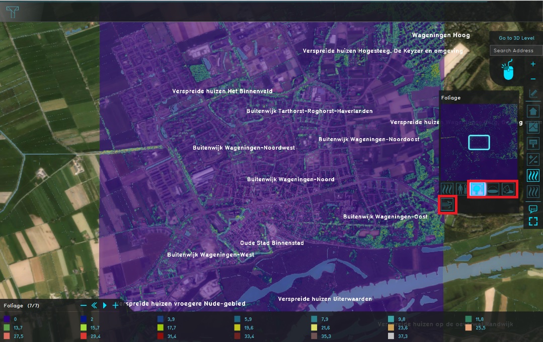 Other child overlays.jpg 1,079 × 681; 281 KB
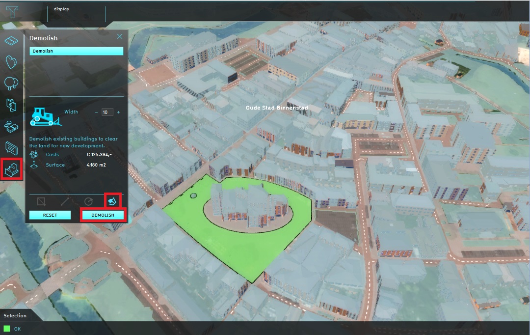 Demolish.jpg 1,080 × 682; 228 KB
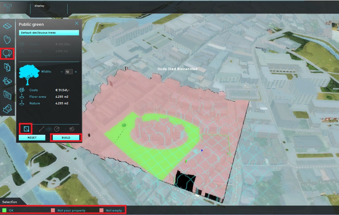 Build trees.jpg 1,078 × 684; 211 KB
 Help.jpg 290 × 117; 12 KB
 New project sources.jpg 1,115 × 667; 212 KB
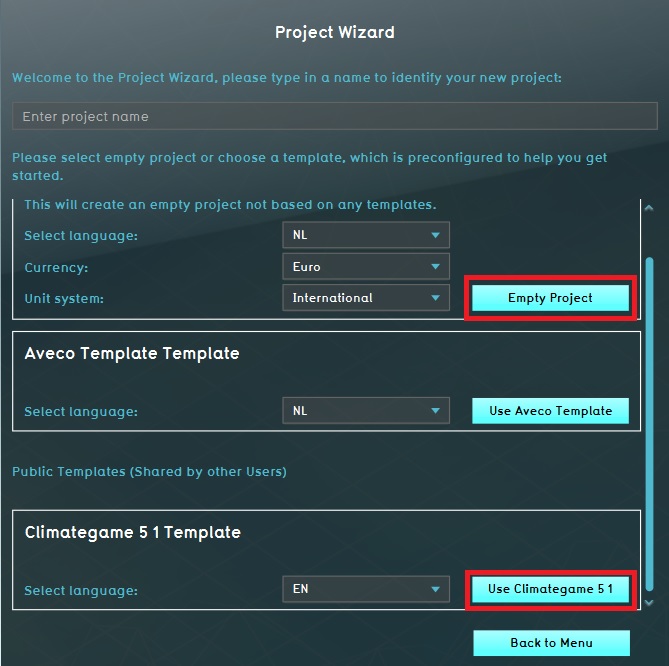 Empty project or template.jpg 669 × 666; 95 KB
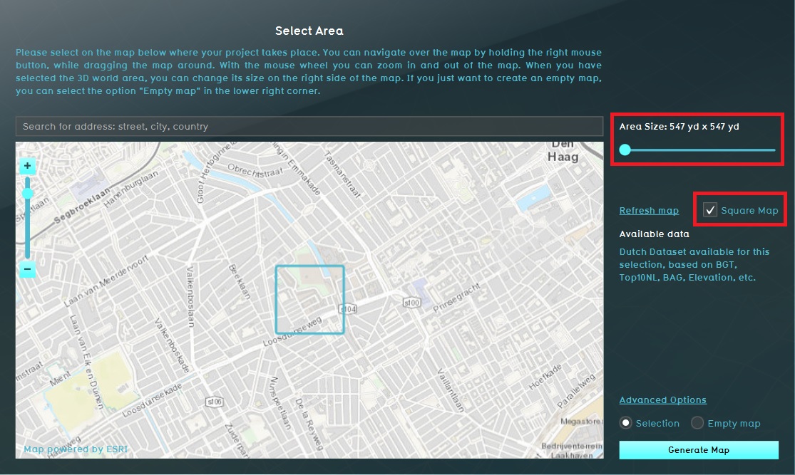 Area size.jpg 1,115 × 667; 228 KB
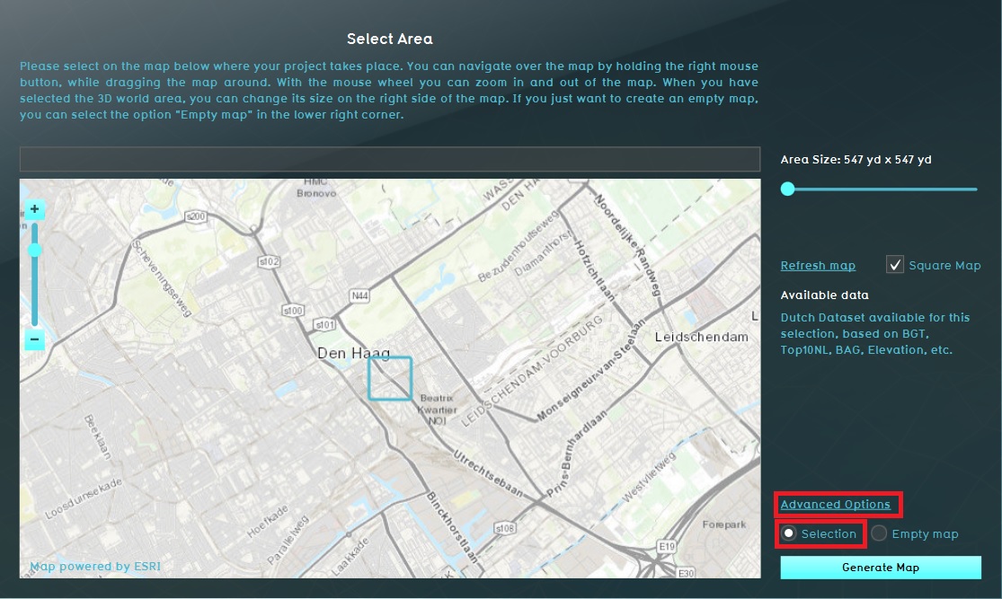
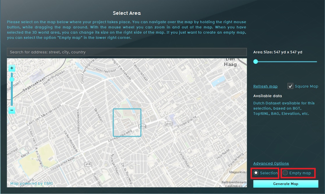 Selection or empty map.jpg 1,117 × 669; 223 KB
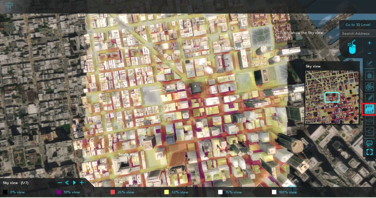 Sky view data.JPG 1,319 × 695; 344 KB
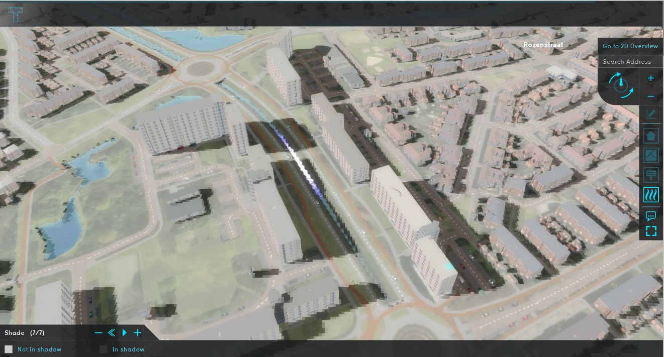 Shade.jpg 1,321 × 711; 281 KB
 Terrain height brush bottom.jpg 560 × 198; 37 KB
 Editor ribbon header community.jpg 1,334 × 105; 28 KB
 Editor ribbon header tools.jpg 1,167 × 105; 20 KB
 Editor ribbon icon community.png 30 × 30; 1 KB
 Paste wfs.JPG 916 × 782; 48 KB
 View area.JPG 1,915 × 734; 354 KB
 Advanced settings.JPG 1,116 × 670; 210 KB
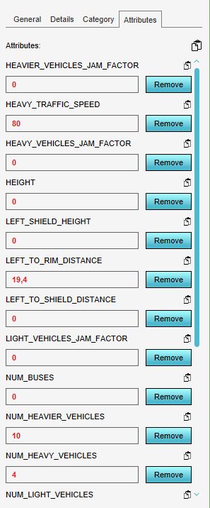 NSL attributes.JPG 297 × 716; 50 KB
 QA wanner terrain building wiki.jpg 384 × 200; 102 KB
 QA parametrisch ontwerpen wiki.jpg 384 × 200; 96 KB
 QA testrun wiki.jpg 384 × 200; 95 KB
 QA wanner terrain building wiki3.jpg 384 × 200; 102 KB
 QA verschil terrains buildings measures wiki.jpg 384 × 200; 109 KB
 QA verschil terrains buildings measures wiki2.jpg 384 × 200; 109 KB
 QA verkeersbronnen wiki.jpg 384 × 200; 94 KB
 QA NWBID wiki.jpg 384 × 200; 101 KB
 Polygons exporteren wiki.png 384 × 200; 121 KB
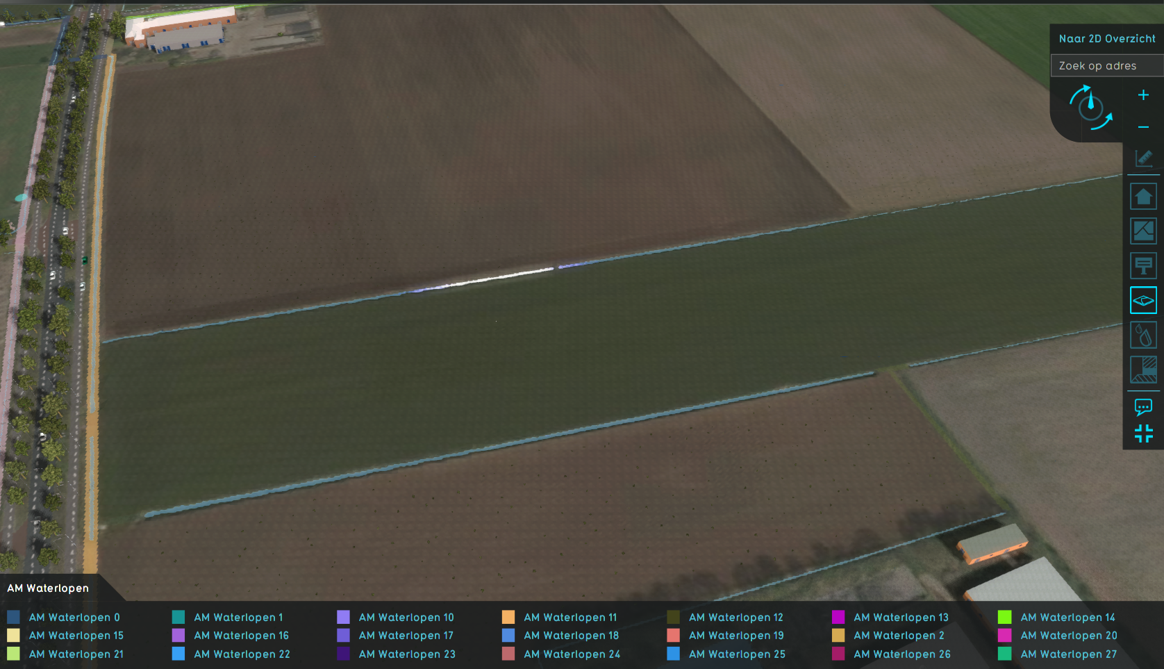 Watershed discharge areas initial.png 1,676 × 963; 1.52 MB
 Watershed discharge areas culverts.png 1,679 × 959; 1.52 MB
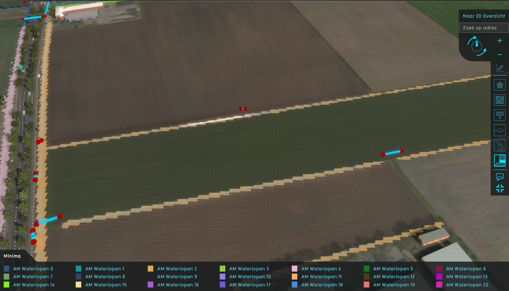
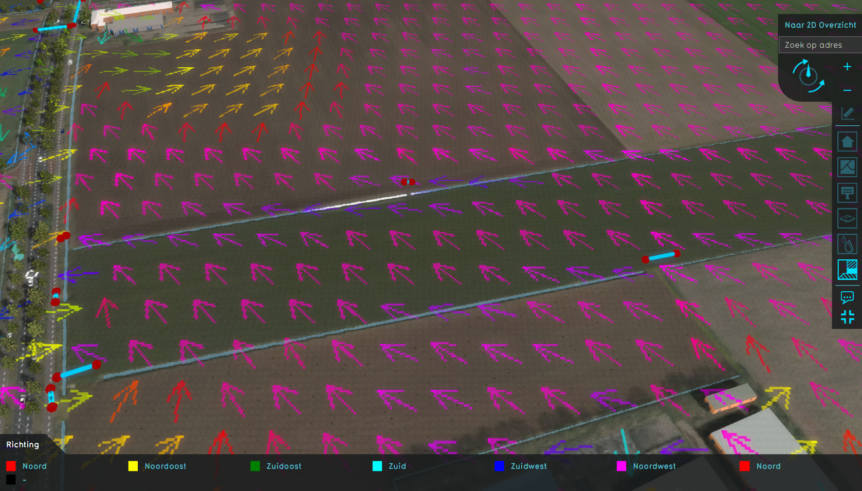 Watershed direction.png 1,677 × 956; 1.79 MB
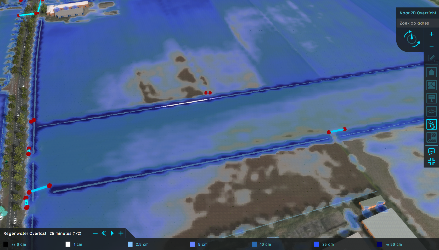 Watershed water level.png 1,678 × 957; 1.44 MB
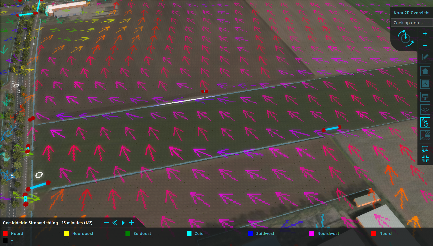 Watershed water direction.png 1,678 × 957; 1.76 MB


