Uncategorized files
Jump to navigation
Jump to search
Showing below up to 50 results in range #3,401 to #3,450.
View (previous 50 | next 50) (20 | 50 | 100 | 250 | 500)
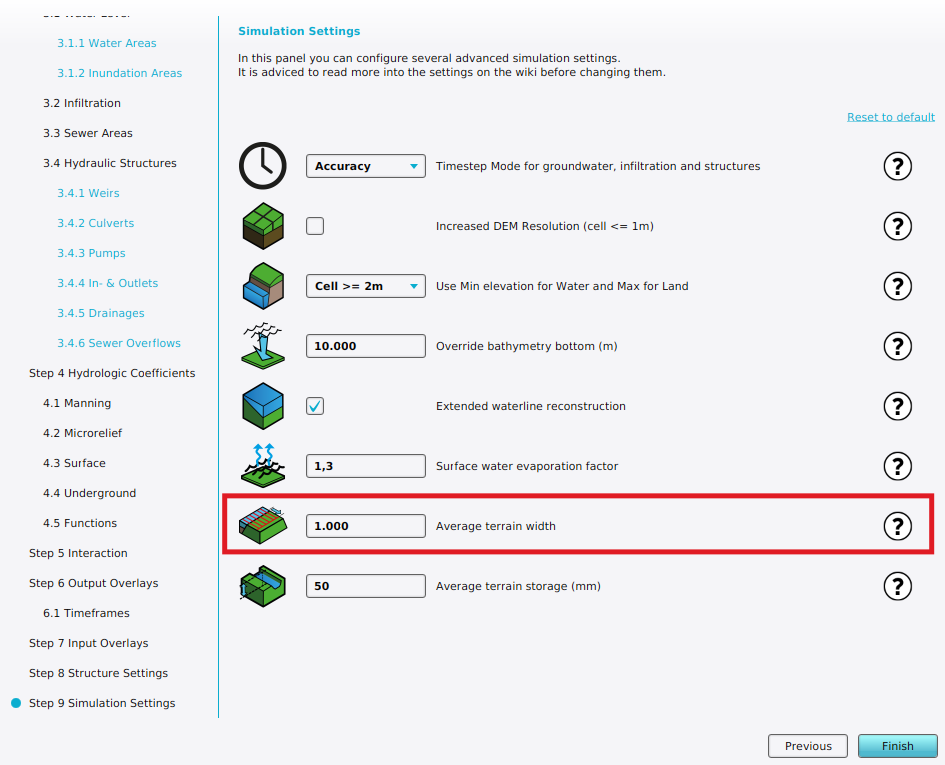 Wateroverlay wizard avg terrain width.png 945 × 765; 134 KB
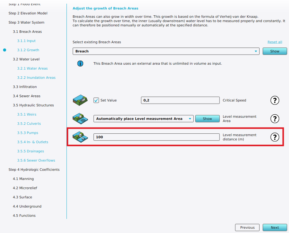 Wateroverlay wizard breach measurement distance m.png 943 × 760; 112 KB
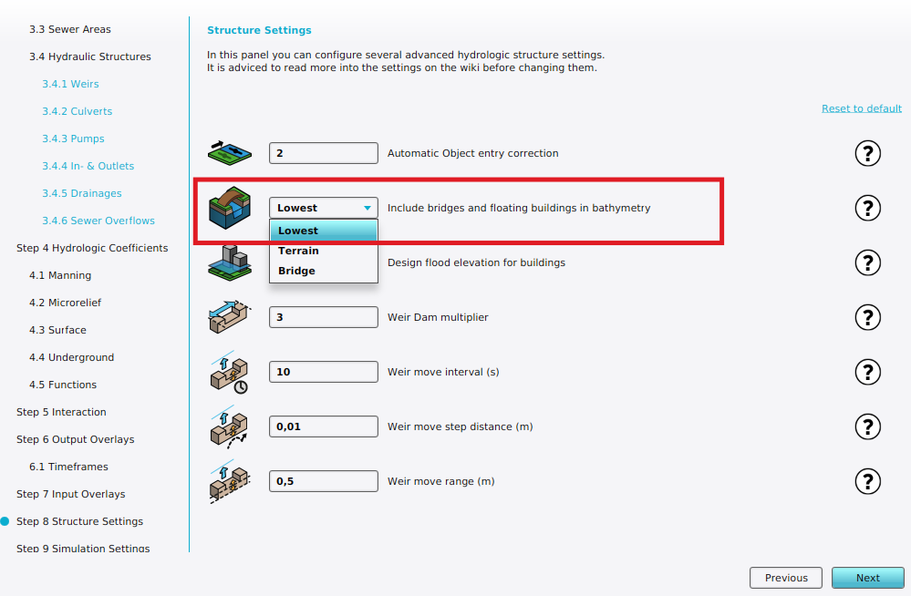 Wateroverlay wizard bridge elevation.png 999 × 654; 119 KB
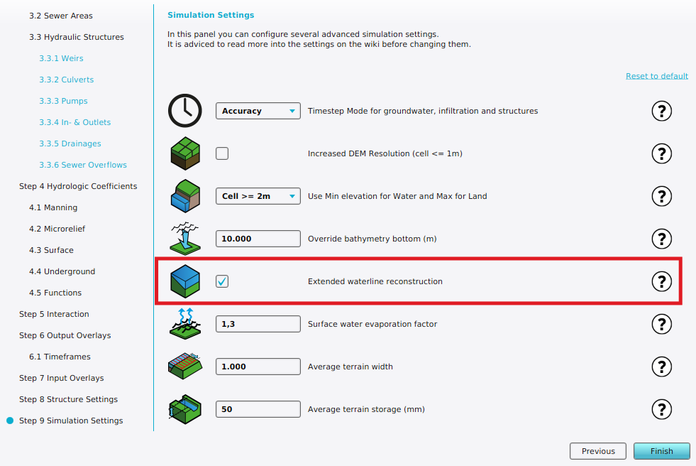 Wateroverlay wizard extended reconstruction.png 981 × 656; 129 KB
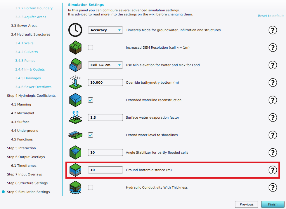
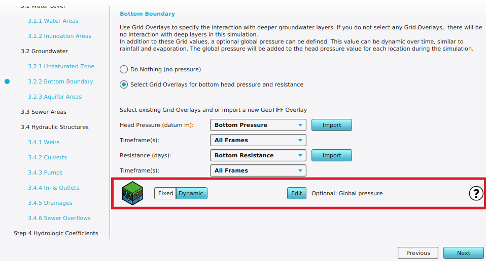 Wateroverlay wizard ground bottom pressure m setting.png 958 × 516; 105 KB
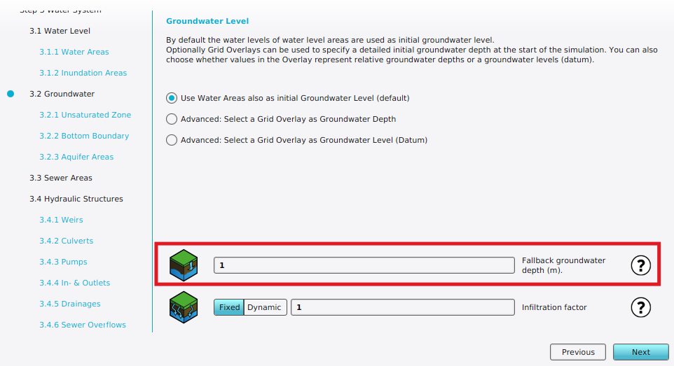 Wateroverlay wizard ground water depth m.png 962 × 523; 88 KB
 Wateroverlay wizard ground water setting.png 939 × 712; 103 KB
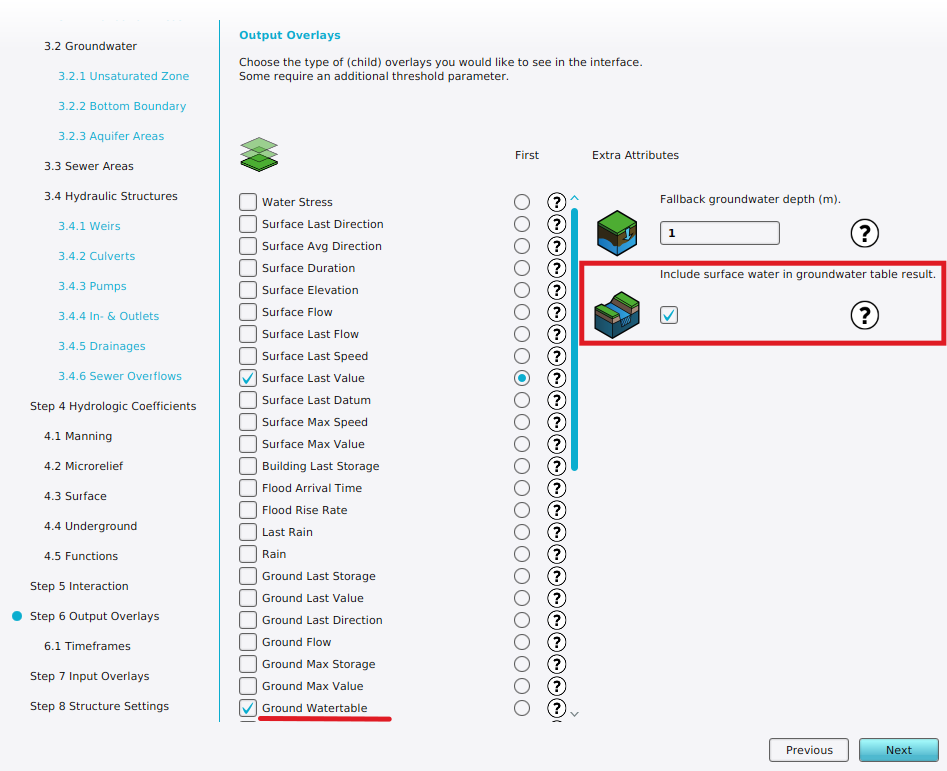 Wateroverlay wizard ground watertable with surface.png 947 × 771; 161 KB
 Wateroverlay wizard groundwater depth.png 979 × 717; 148 KB
 Wateroverlay wizard icon surface water relative.png 100 × 100; 7 KB
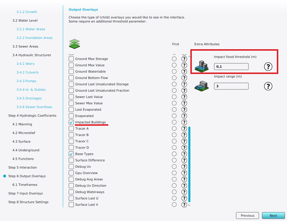 Wateroverlay wizard impact flood threshold m.png 995 × 767; 156 KB
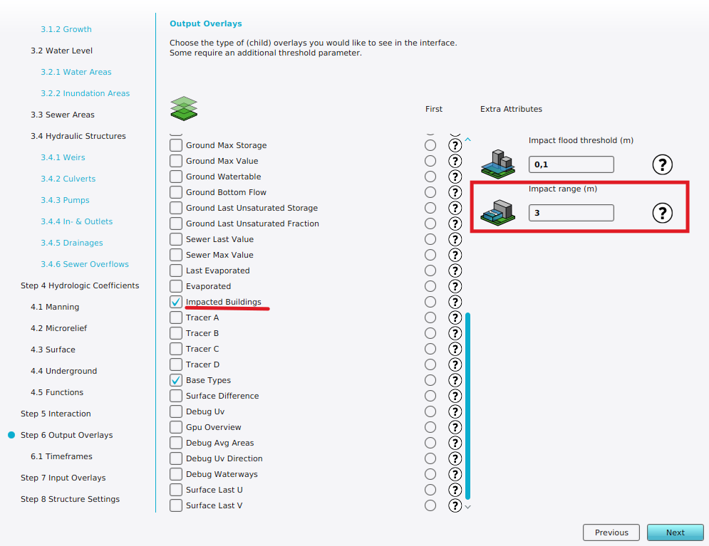 Wateroverlay wizard impact range m.png 995 × 767; 156 KB
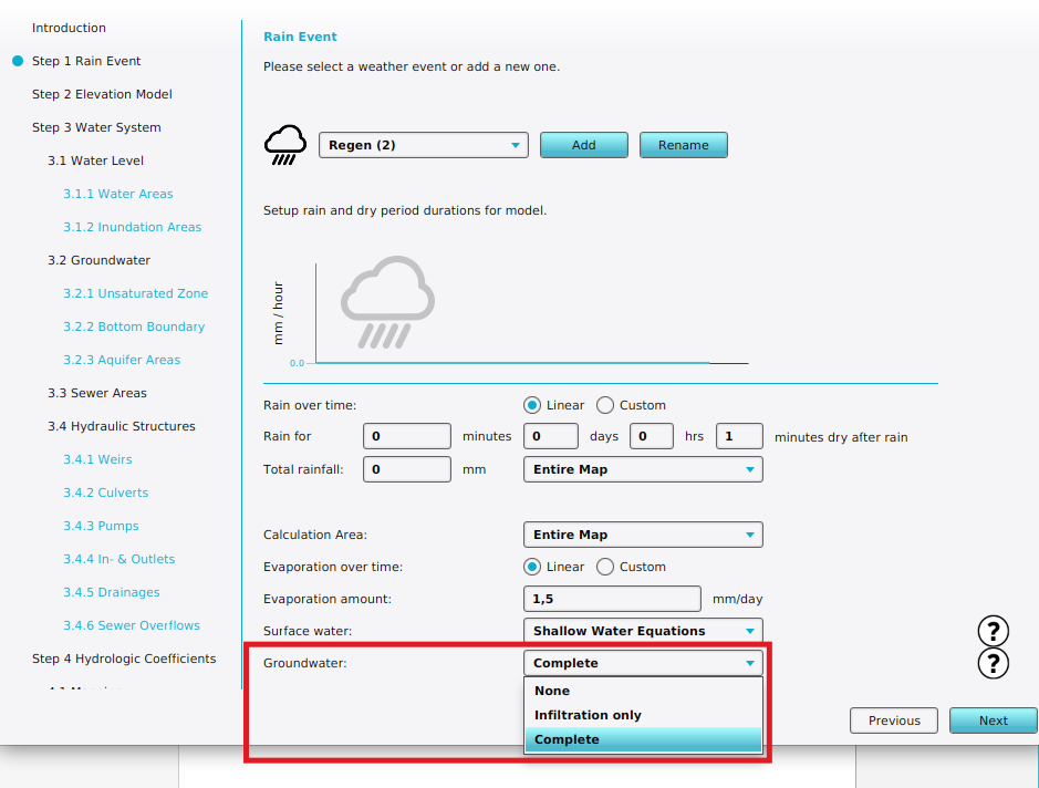
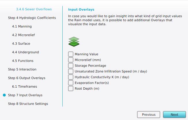 Wateroverlay wizard input overlay step.jpg 654 × 419; 32 KB
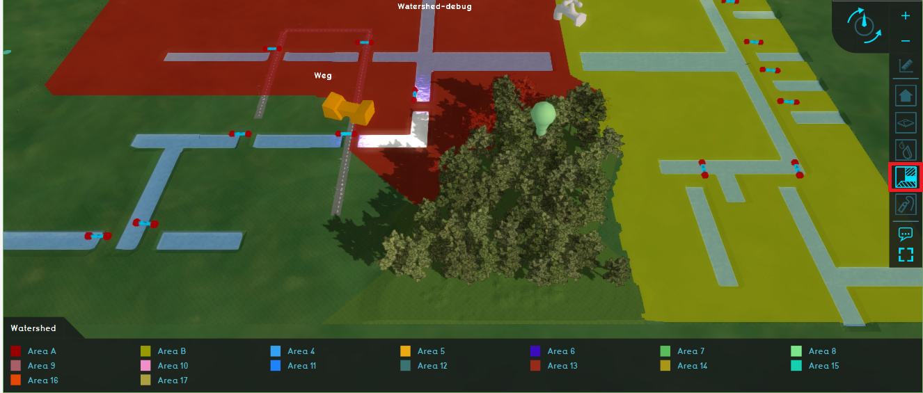
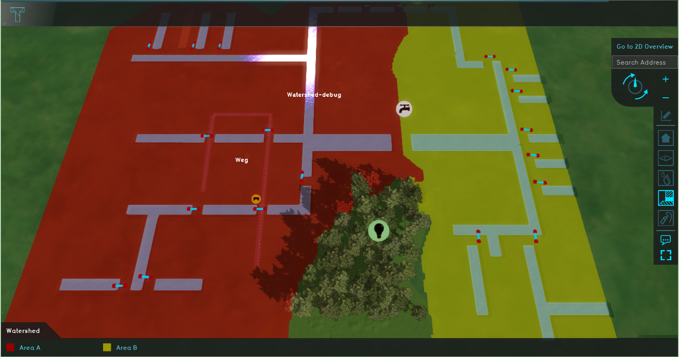 Watershed.PNG 1,324 × 697; 935 KB
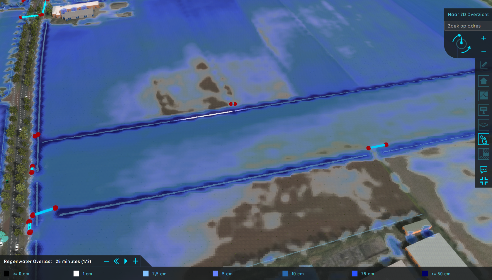
 Watershed Overlay.png 1,676 × 955; 1.48 MB
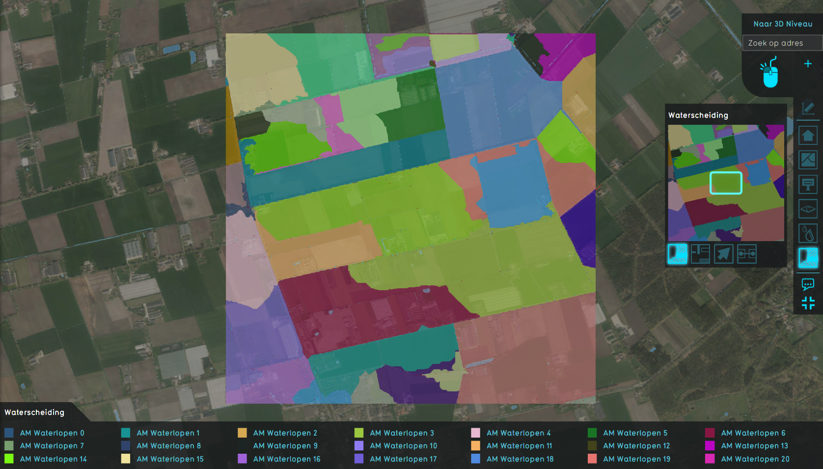
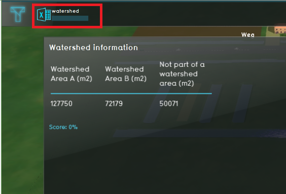
 Watershed areas.PNG 1,321 × 603; 792 KB
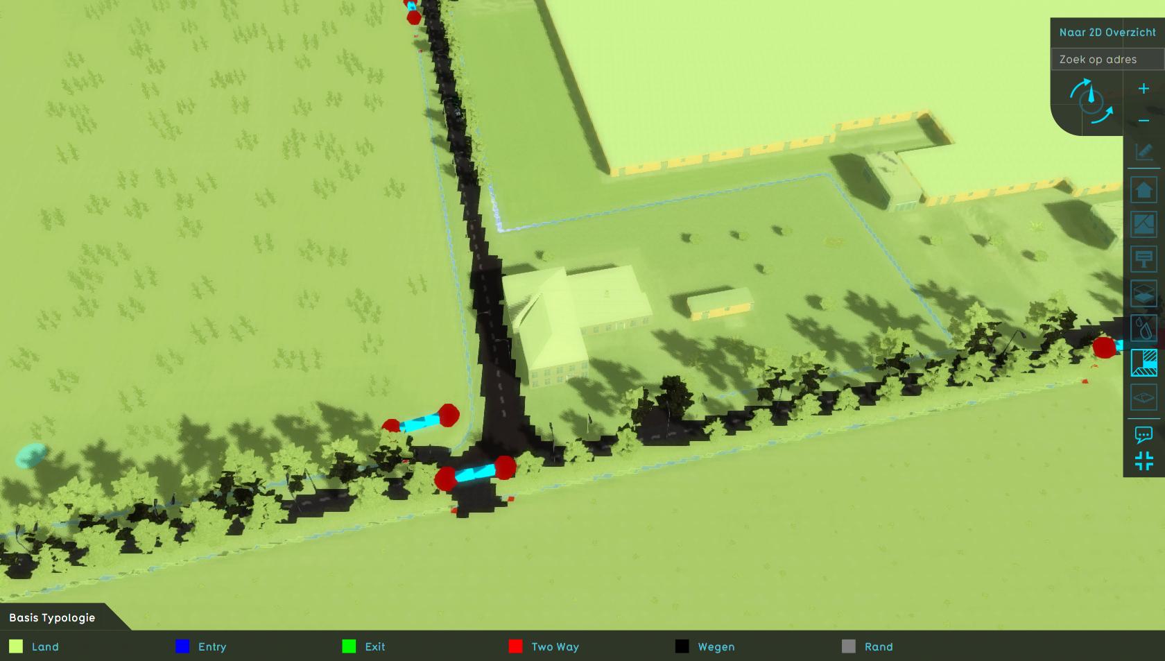 Watershed base types.jpeg 1,680 × 953; 126 KB
 Watershed button.png 55 × 55; 1 KB
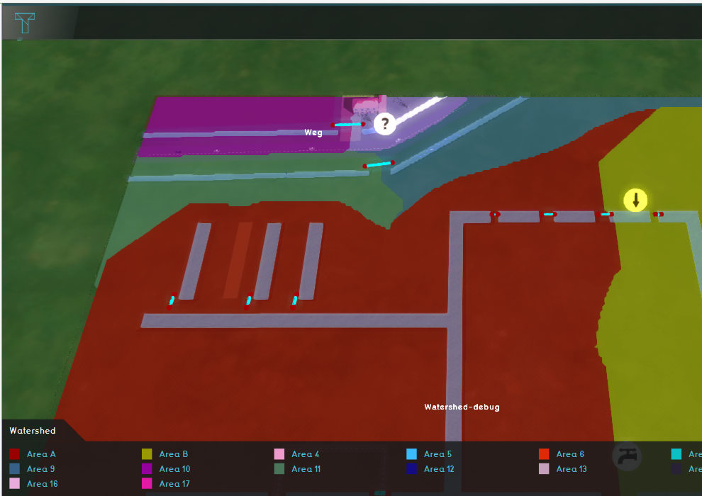
 Watershed culvert.PNG 1,326 × 565; 782 KB
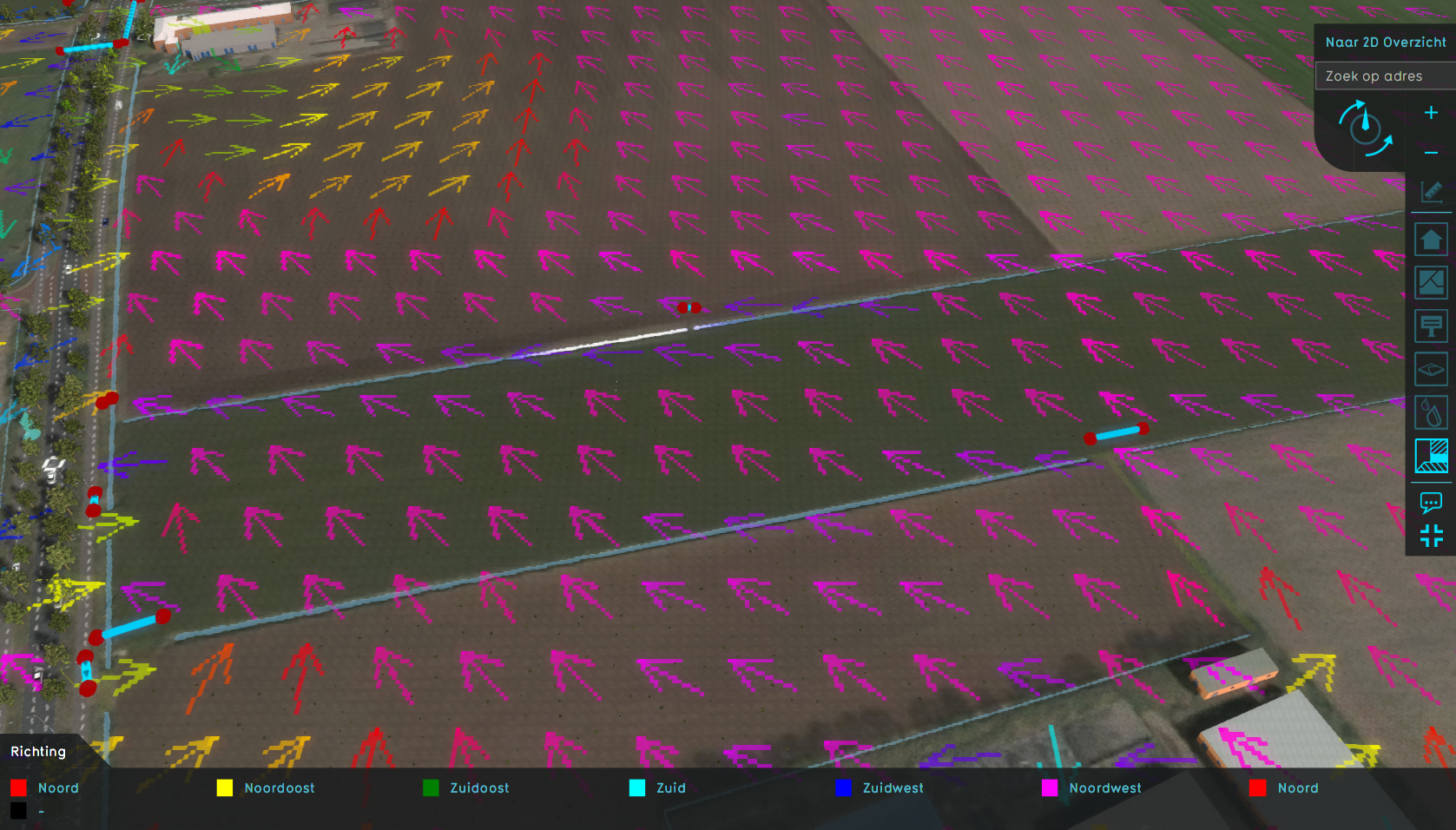 Watershed direction.png 1,677 × 956; 1.79 MB
 Watershed discharge areas culverts.png 1,679 × 959; 1.52 MB
 Watershed discharge areas initial.png 1,676 × 963; 1.52 MB
 Watershed indicator.PNG 564 × 383; 150 KB
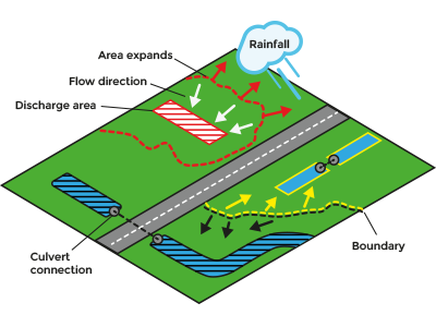 Watershed introduction.png 400 × 300; 46 KB
 Watershed update.PNG 990 × 700; 584 KB
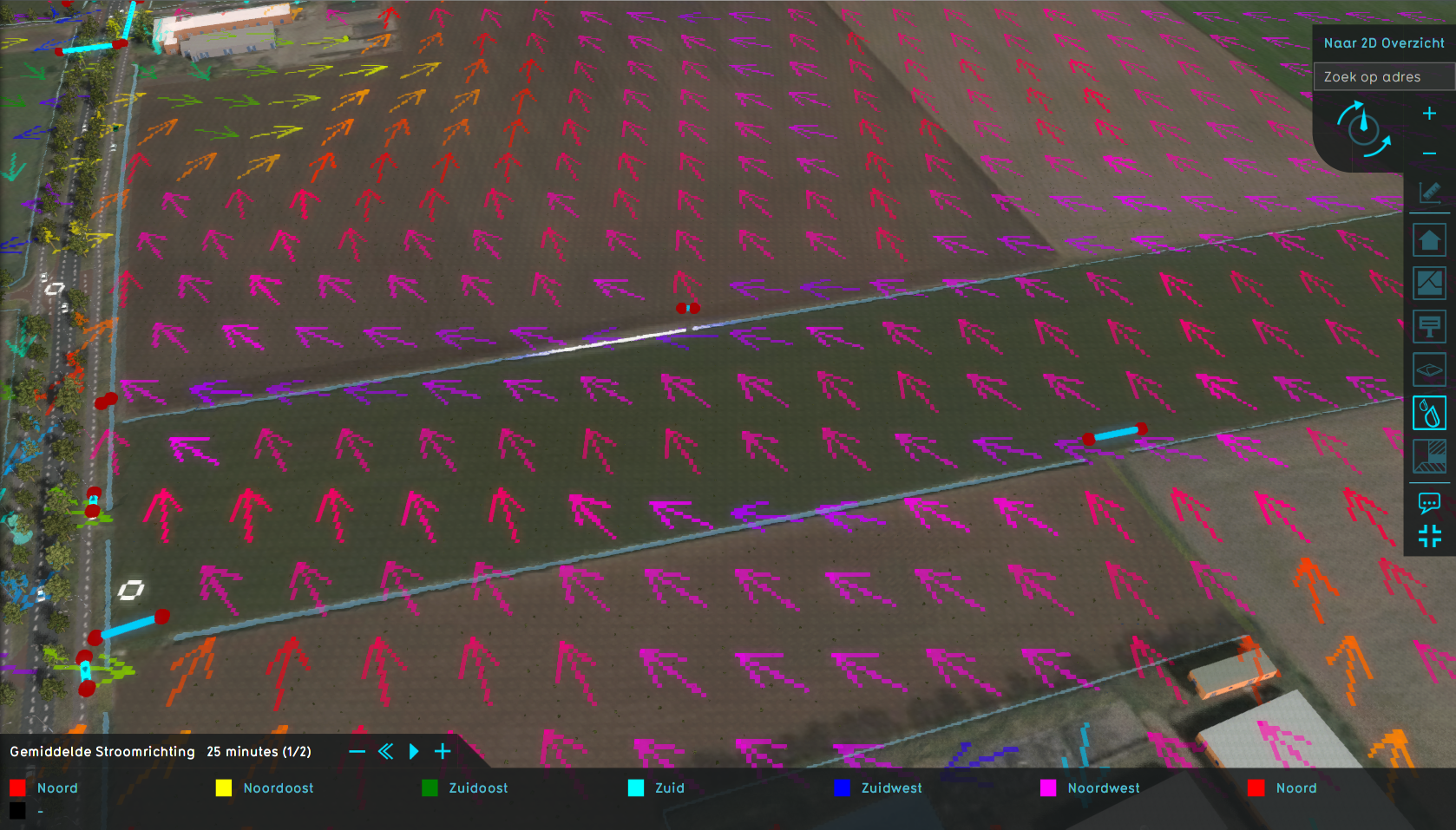 Watershed water direction.png 1,678 × 957; 1.76 MB
 Watershed water level.png 1,678 × 957; 1.44 MB
 Watershed wiki2.png 100 × 100; 4 KB
 Watershedwizard icon culvert flow direction.png 100 × 100; 4 KB
 Watershedwizard icon discharge area.png 100 × 100; 3 KB
 Watershedwizard icon discharge remaining water.png 100 × 100; 4 KB
 Watershedwizard icon fill distance.png 100 × 100; 3 KB
 Watershedwizard icon limit road.png 100 × 100; 4 KB
 Watershedwizard icon min area.png 100 × 100; 4 KB
 Waterstreeshoefkade0.png 1,320 × 832; 1.95 MB
 Waterway classic 121.png 1,217 × 510; 85 KB
 Waterway classic 16.png 1,217 × 510; 86 KB
 Waterway classic 64.png 1,220 × 511; 85 KB
 Waterway classic 81.png 1,223 × 511; 85 KB
 Waterwijzer100px.png 100 × 100; 6 KB
 Waterwijzer button.png 30 × 30; 1 KB
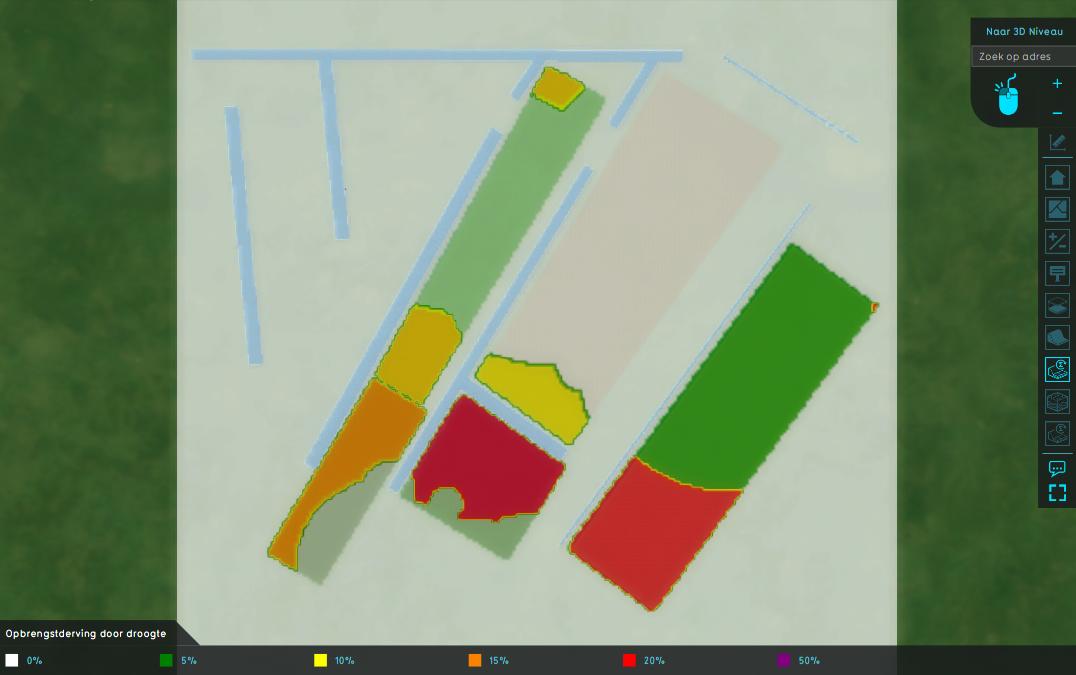 Waterwijzer damage dry.jpeg 1,076 × 675; 45 KB
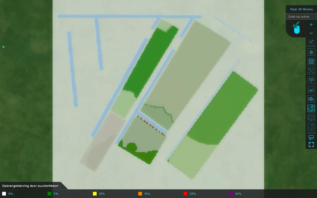
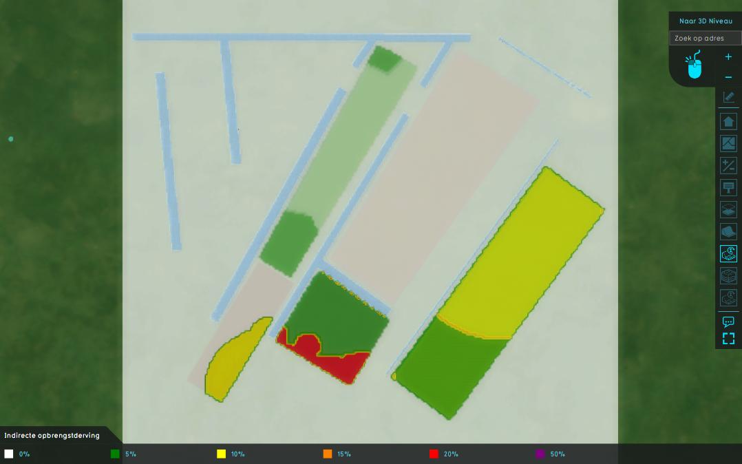 Waterwijzer damage indirect.jpeg 1,078 × 674; 43 KB
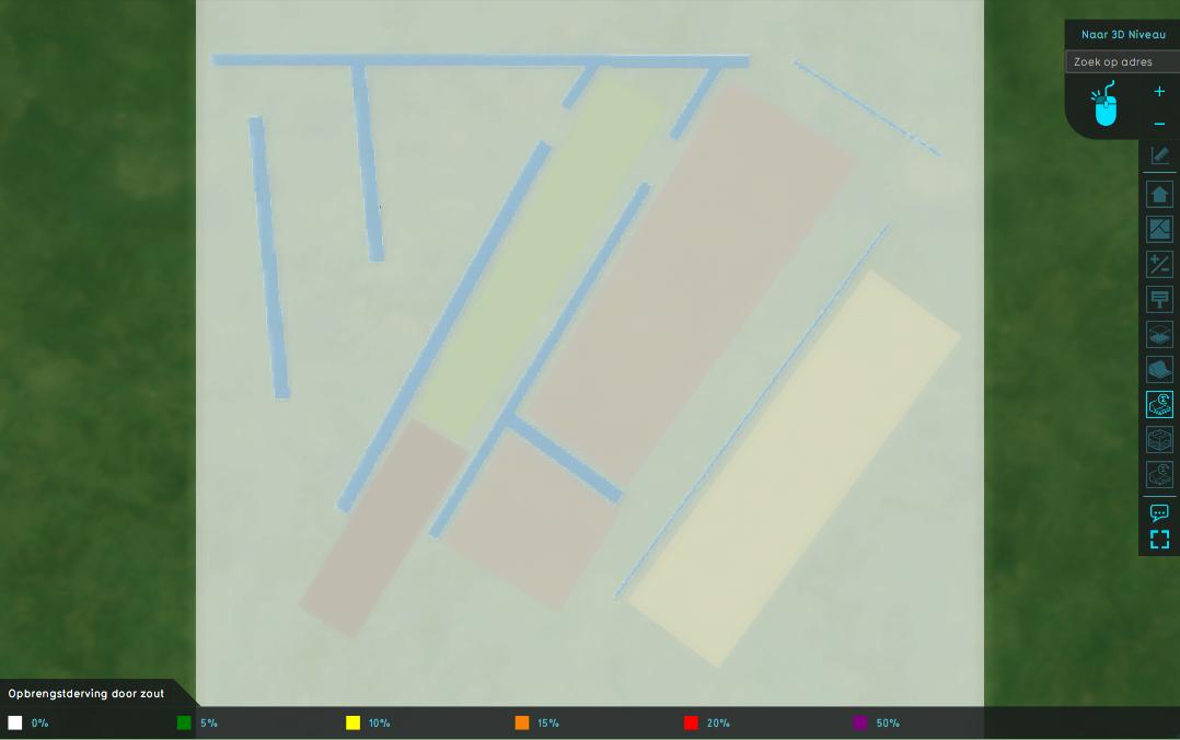 Waterwijzer damage salt.jpeg 1,078 × 676; 38 KB
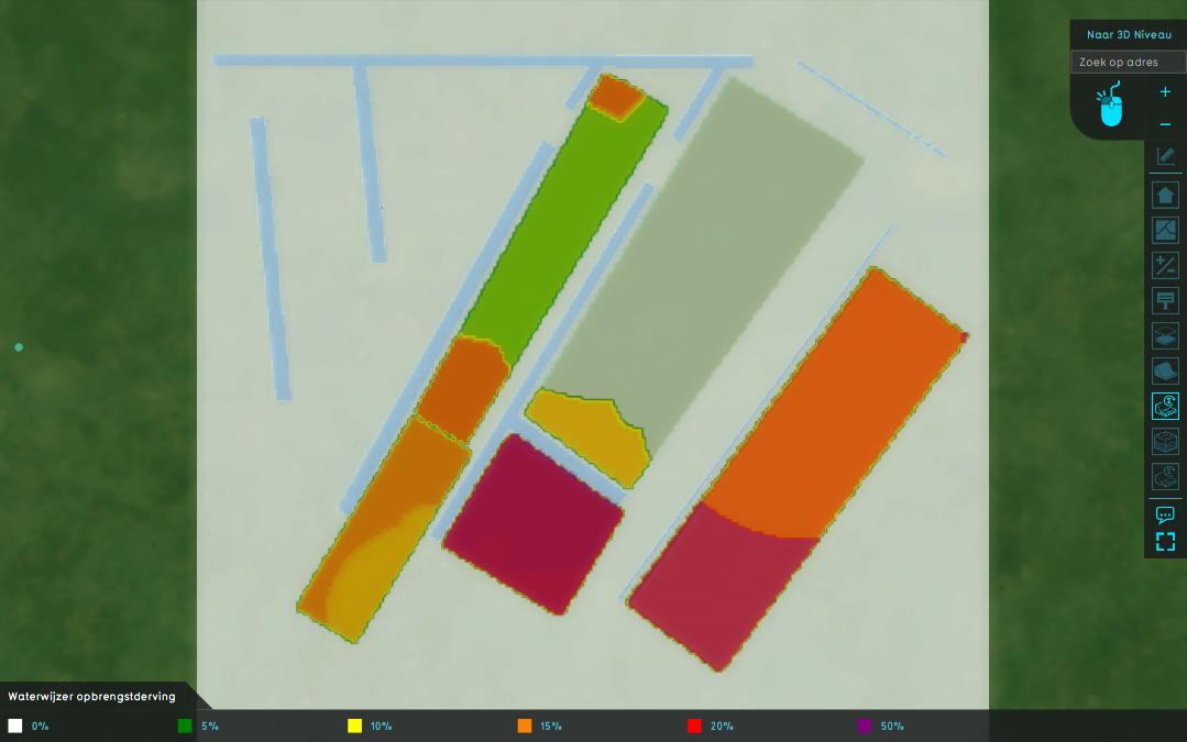 Waterwijzer damage total.jpeg 1,079 × 675; 46 KB
 Waterwijzer damage wet.jpeg 1,079 × 675; 42 KB
 Waterwijzerwizard icon bofek id.png 100 × 100; 4 KB
 Waterwijzerwizard icon brp code.png 100 × 100; 3 KB
 Waterwijzerwizard icon climate scenario.png 100 × 100; 3 KB
 Waterwijzerwizard icon weather station.png 100 × 100; 5 KB


