Uncategorized files
Jump to navigation
Jump to search
Showing below up to 50 results in range #3,351 to #3,400.
View (previous 50 | next 50) (20 | 50 | 100 | 250 | 500)
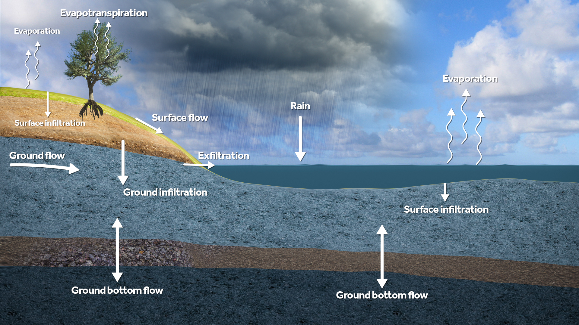 Water module flows.jpeg 1,920 × 1,080; 1.52 MB
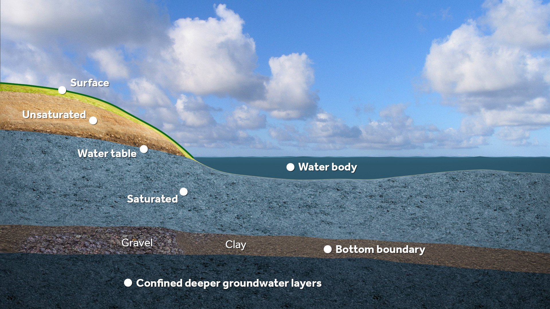 Water module layers.jpeg 1,920 × 1,080; 632 KB
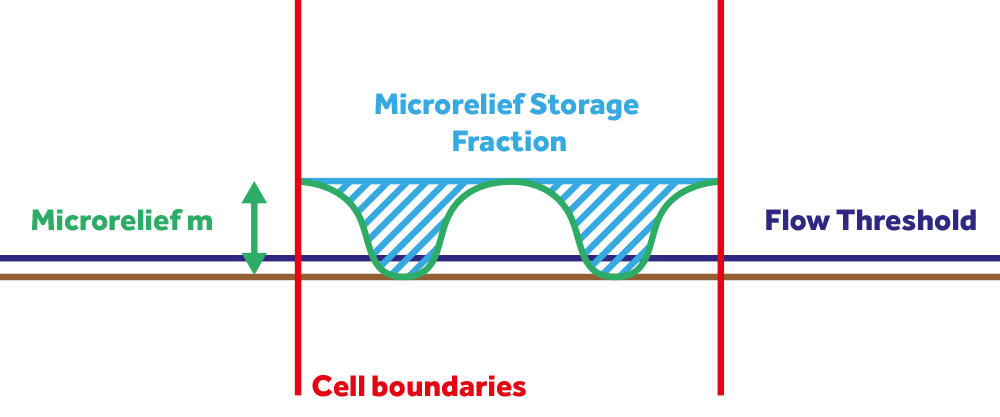 Water overlay surface model microrelief flow threshold.png 1,000 × 417; 23 KB
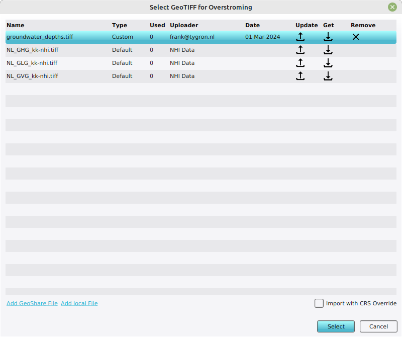 Water overlay wizard add and select geotiff.png 800 × 670; 40 KB
 Water overlay wizard groundwater geotiff.png 950 × 800; 122 KB
 Waterbalance panel.JPG 880 × 489; 46 KB
 Waterbalance scenario2.JPG 884 × 483; 39 KB
 Waterbody 1.PNG 1,020 × 737; 532 KB
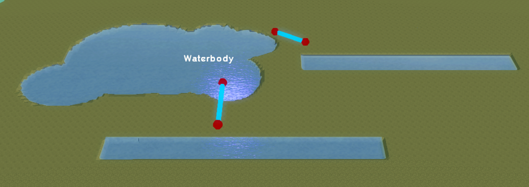 Waterbody 2.PNG 1,036 × 368; 339 KB
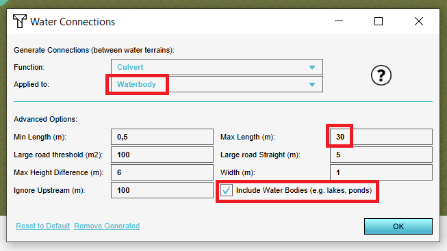 Waterbody option.PNG 653 × 367; 45 KB
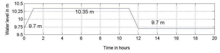 Waterlevel 1 ukbm.png 745 × 181; 59 KB
 Waterlevel areas.PNG 884 × 535; 536 KB
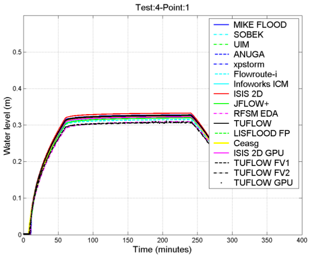 Waterlevel others p1 case4 ukbm.png 629 × 521; 93 KB
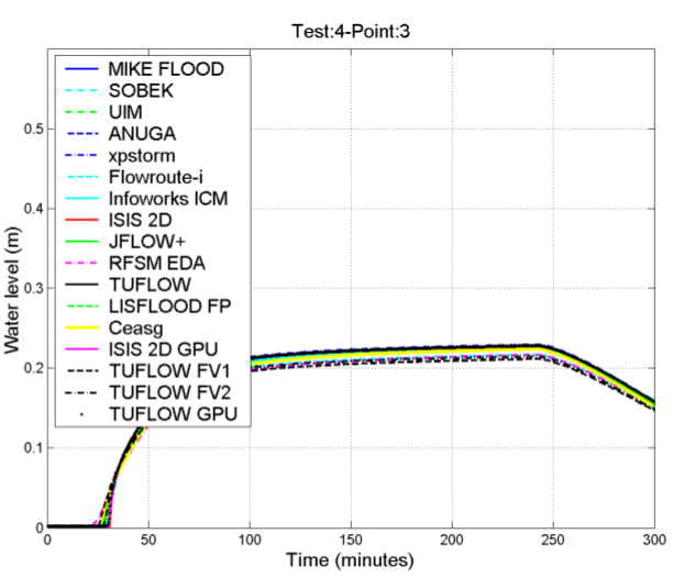 Waterlevel others p3 case4 ukbm.png 612 × 526; 87 KB
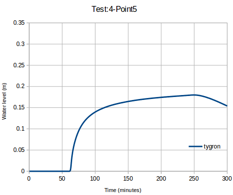
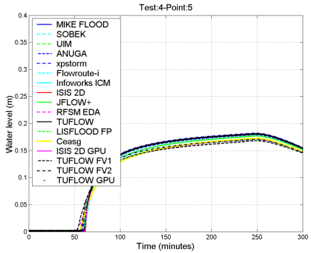 Waterlevel others p5 case4 ukbm.png 627 × 510; 97 KB
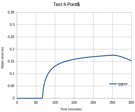
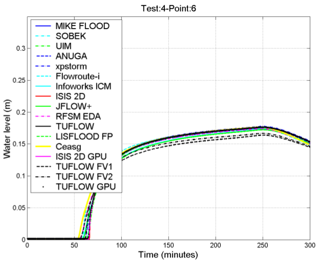 Waterlevel others p6 case4 ukbm.png 629 × 510; 96 KB
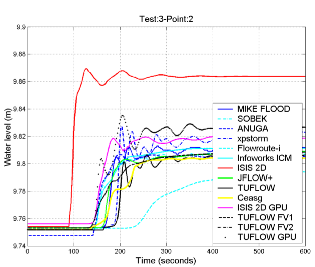
 Waterlevel p1 case3 ukbm.png 630 × 562; 25 KB
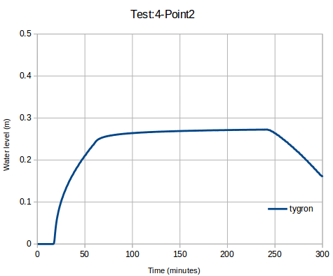
 Waterlevel p1 case4 ukbm.png 476 × 405; 16 KB
 Waterlevel p1 others case3 ukbm.png 634 × 520; 109 KB
 Waterlevel p2 case3 ukbm.png 640 × 561; 21 KB
 Waterlevel p2 case4 ukbm.png 475 × 394; 16 KB
 Waterlevel p2 others case3 ukbm.png 627 × 531; 115 KB
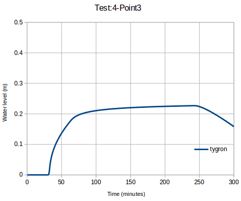 Waterlevel p3 case4 ukbm.png 474 × 395; 15 KB
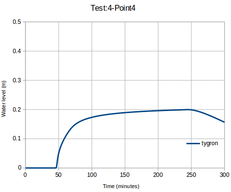 Waterlevel p4 case4 ukbm.png 472 × 394; 15 KB
 Waterlevel p5 case4 ukbm.png 471 × 394; 17 KB
 Waterlevel p6 case4 ukbm.png 472 × 391; 18 KB
 Waterlevel p6 case4 ukbm new.png 472 × 391; 18 KB
 Waterlevel schematic.png 507 × 313; 147 KB
 Watermark-overlay.jpg 1,080 × 697; 256 KB
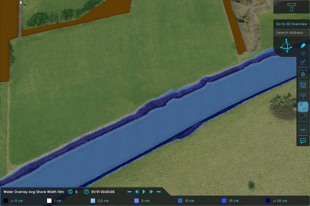 Wateroverlay avg shore width 10m.png 1,073 × 713; 1,010 KB
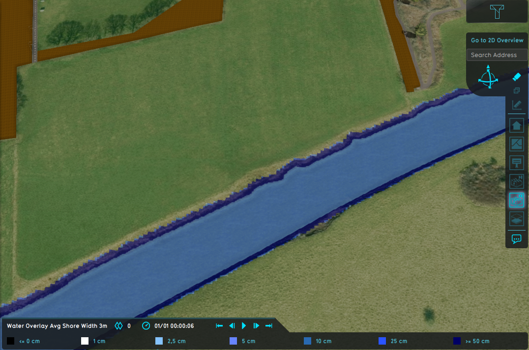 Wateroverlay avg shore width 3m.png 1,076 × 712; 1,012 KB
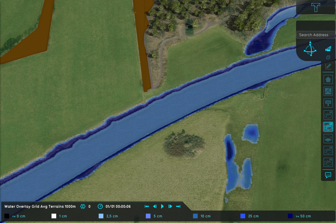 Wateroverlay avg terrain width 1000m.png 1,076 × 716; 1.03 MB
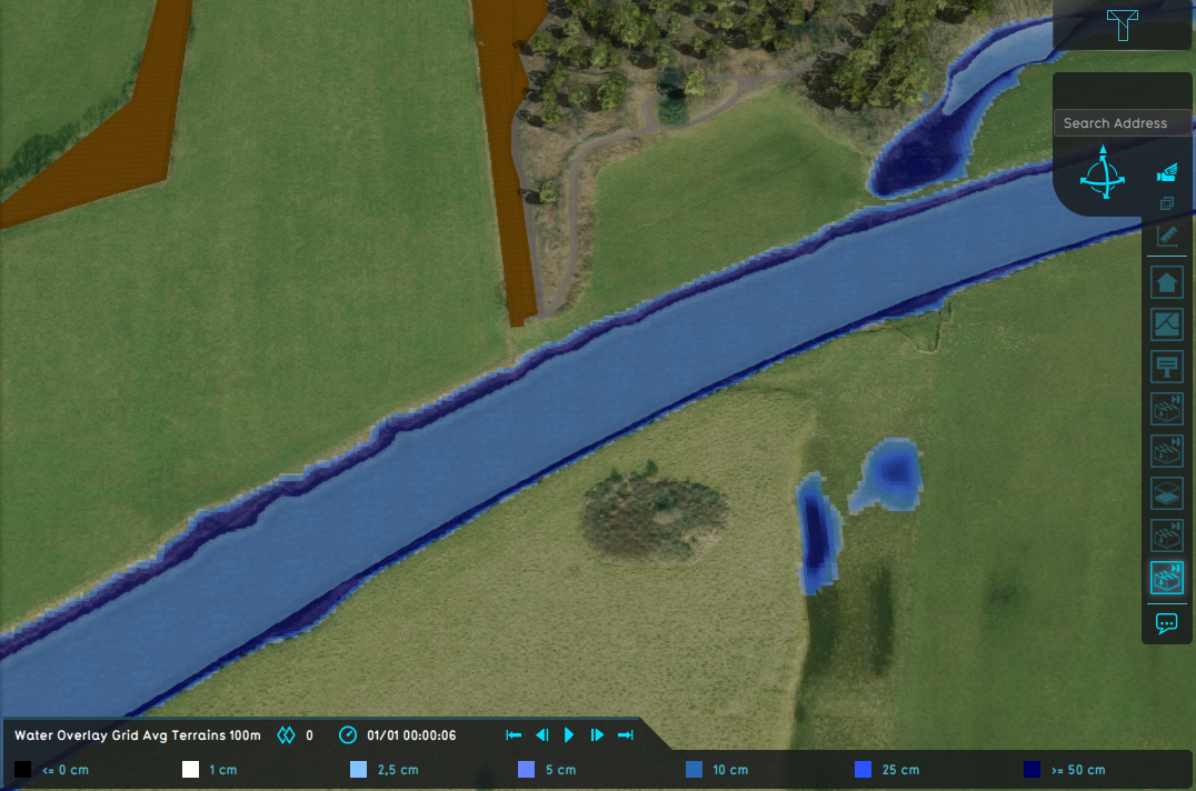 Wateroverlay avg terrain width 100m.png 1,076 × 712; 1.02 MB
 Wateroverlay difference waterlevel.png 1,077 × 913; 1.34 MB
 Wateroverlay difference waterlevel avg shorewidth.png 1,076 × 914; 1.32 MB
 Wateroverlay difference waterlevel avg terrain width.png 1,077 × 913; 1.34 MB
 Wateroverlay groundwatertable with surface.png 1,075 × 914; 880 KB
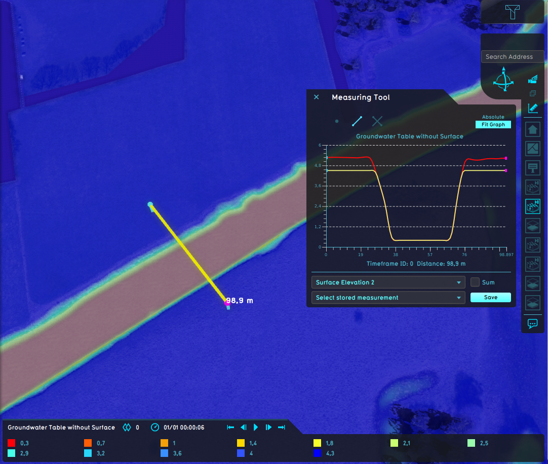 Wateroverlay groundwatertable without surface.png 1,082 × 915; 997 KB
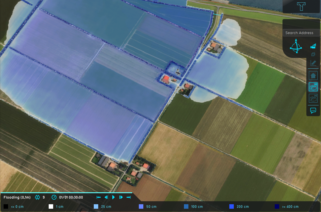 Wateroverlay impact flood 30min.png 1,075 × 710; 1,006 KB
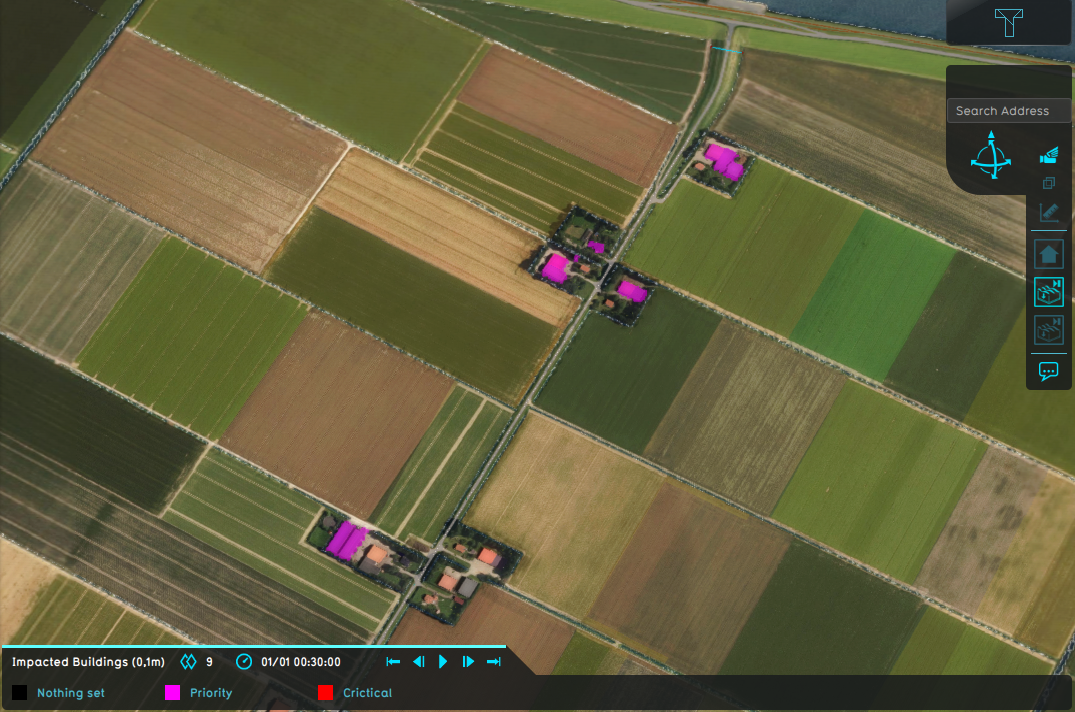 Wateroverlay impact flood threshold 0 1m.png 1,075 × 712; 1.06 MB
 Wateroverlay impact flood threshold 0 5m.png 1,075 × 714; 1.06 MB
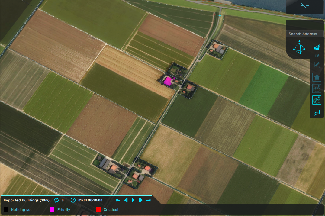 Wateroverlay impact range 30m.png 1,076 × 715; 1.07 MB
 Wateroverlay impact range 30min.png 1,076 × 712; 1,010 KB
 Wateroverlay impact range 3m.png 1,072 × 714; 1.06 MB
 Wateroverlay rainfall areas dynamic.gif 420 × 255; 1.38 MB
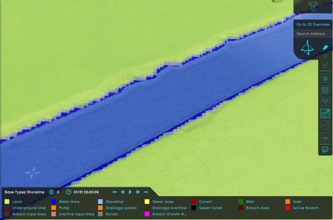 Wateroverlay shoreline.png 1,077 × 710; 651 KB
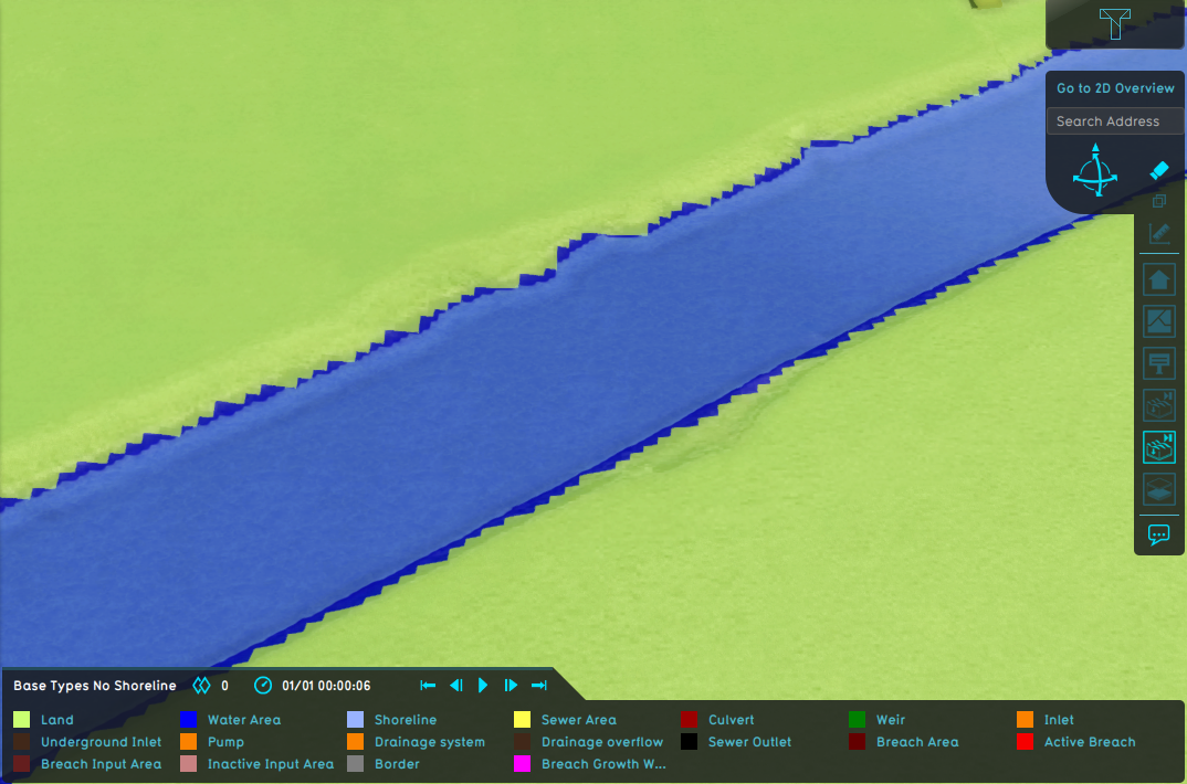 Wateroverlay without shoreline.png 1,074 × 710; 645 KB
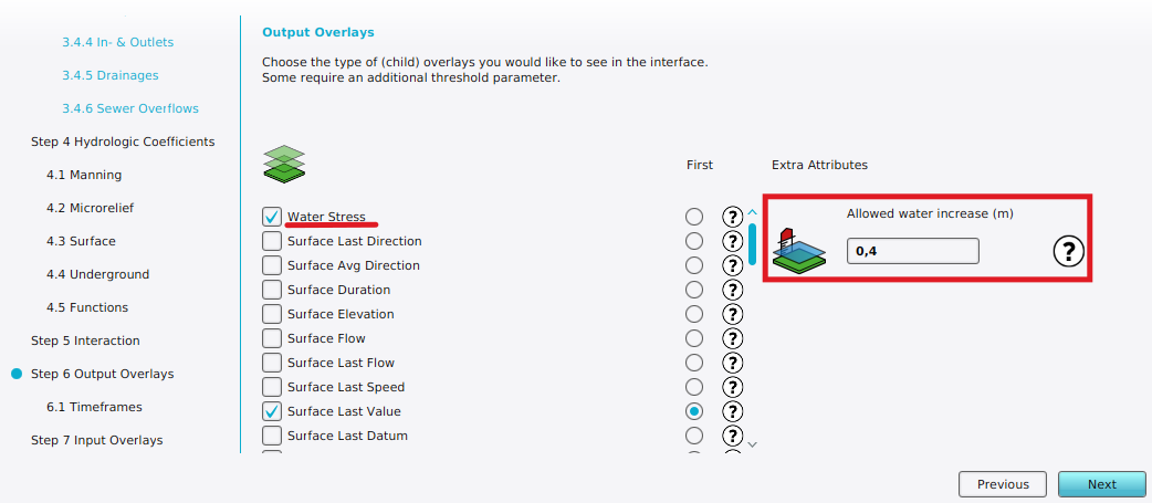 Wateroverlay wizard allowed water increate m.png 1,042 × 455; 87 KB
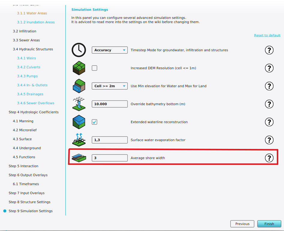 Wateroverlay wizard avg shore width.png 947 × 771; 127 KB
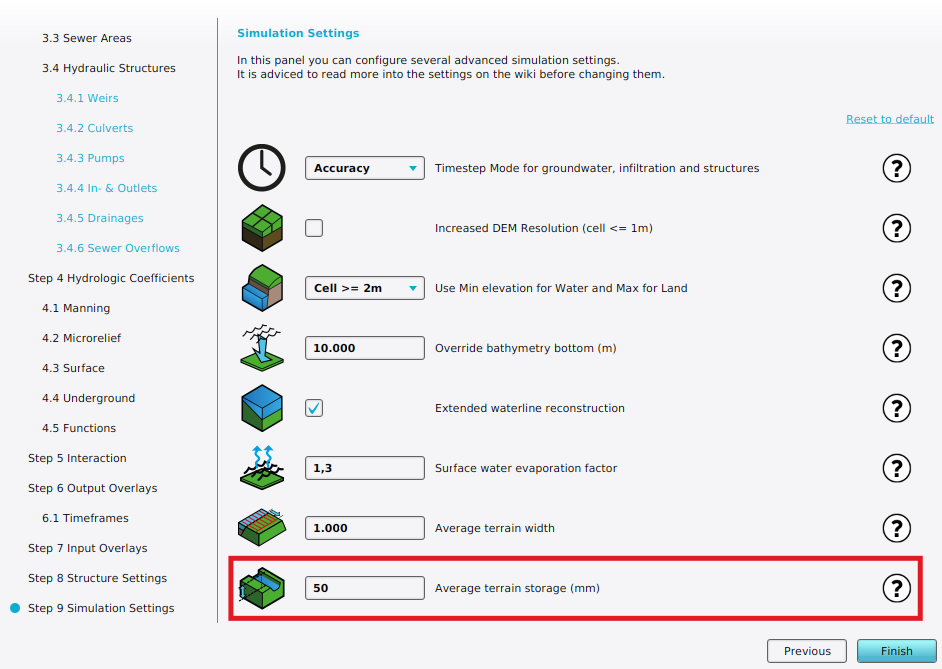 Wateroverlay wizard avg terrain storage m.png 942 × 669; 128 KB


