Uncategorized files
Jump to navigation
Jump to search
Showing below up to 50 results in range #2,851 to #2,900.
View (previous 50 | next 50) (20 | 50 | 100 | 250 | 500)
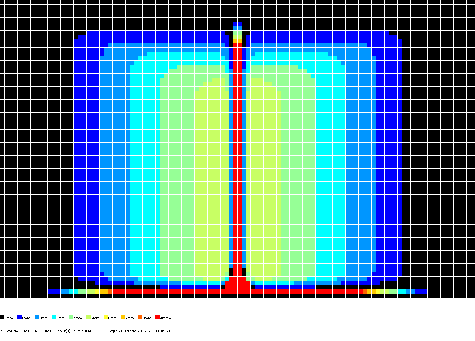 Stowa2017-testcase4c levels 1h45m.png 1,650 × 1,185; 36 KB
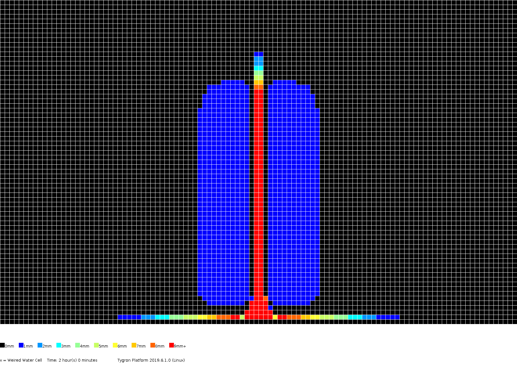 Stowa2017-testcase4c levels 2h0m.png 1,650 × 1,185; 28 KB
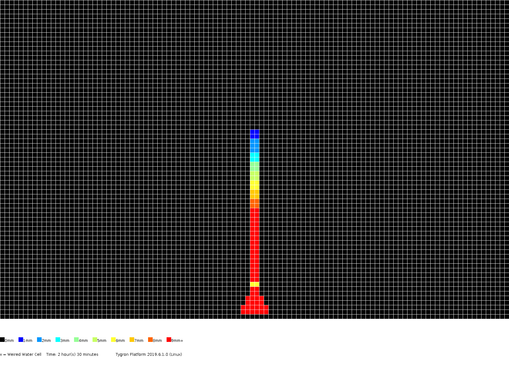 Stowa2017-testcase4c levels 2h30m.png 1,650 × 1,185; 25 KB
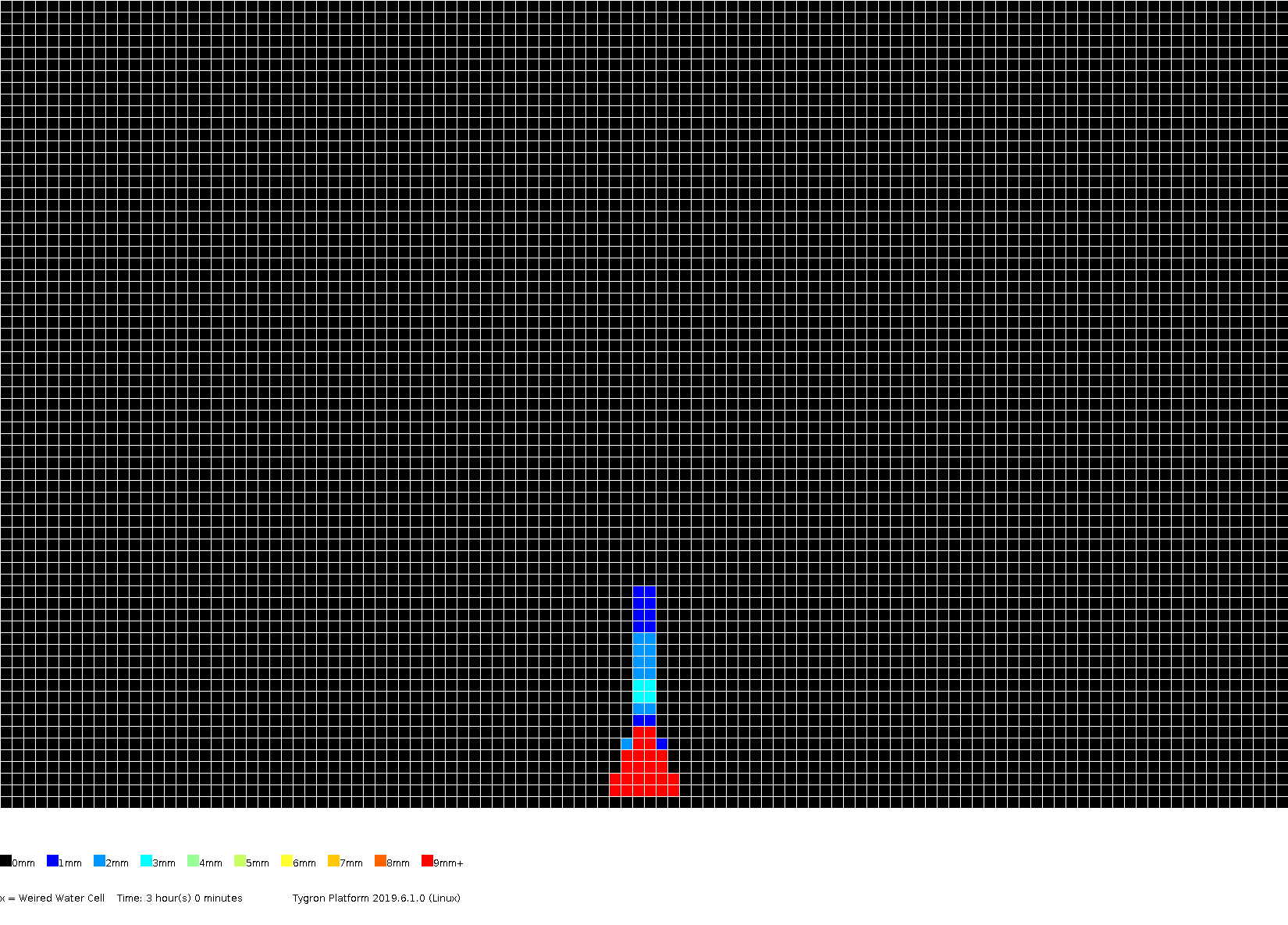 Stowa2017-testcase4c levels 3h0m.png 1,650 × 1,185; 24 KB
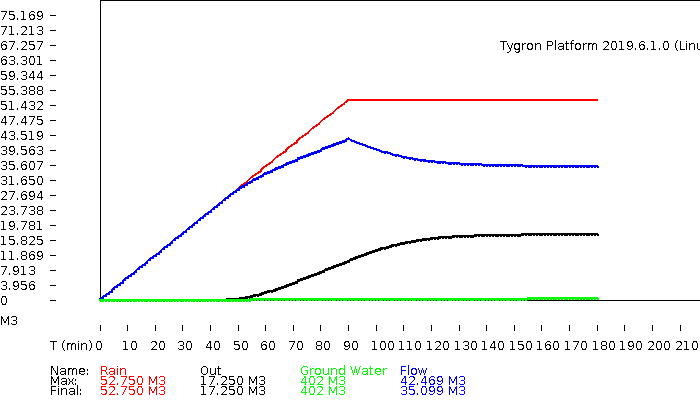 Stowa2017-testcase4c volumes.png 700 × 400; 7 KB
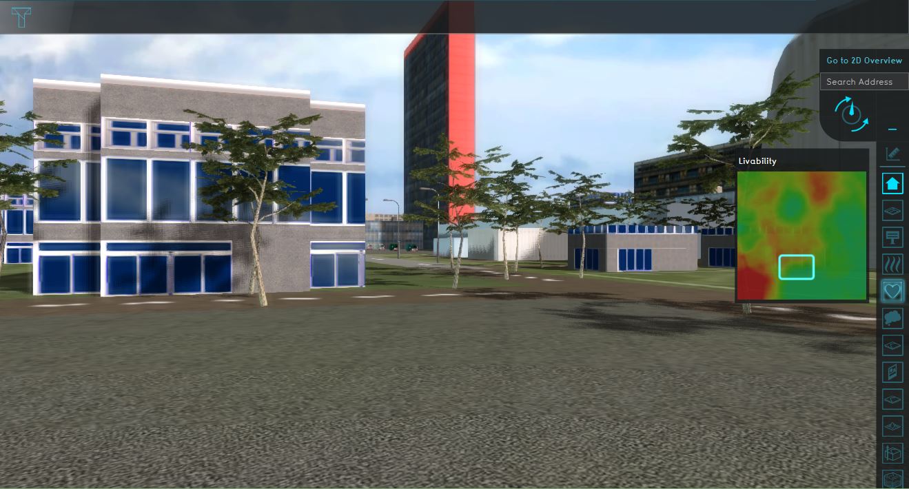 Streetview.JPG 1,319 × 710; 151 KB
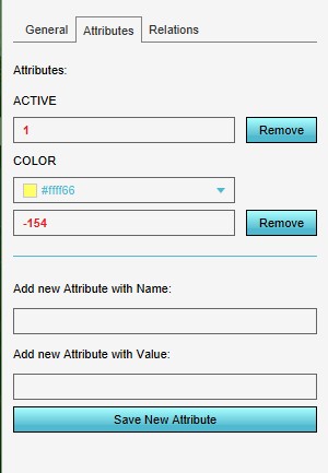 SttributeRemoved1.jpg 300 × 433; 24 KB
 Student housing indicator.PNG 371 × 294; 111 KB
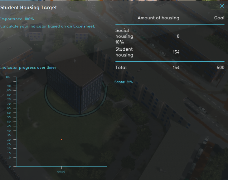 Student housing indicator panel.PNG 731 × 576; 446 KB
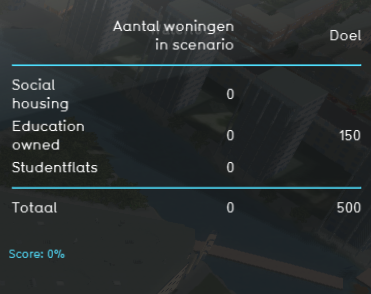
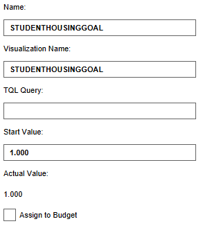 Studenthousinggoal.PNG 293 × 339; 5 KB
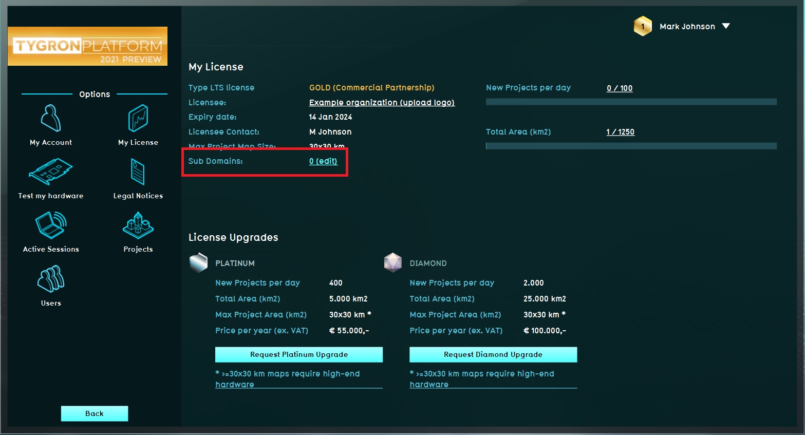 Subdomain.jpg 1,567 × 847; 192 KB
 Subsidence-Overlay.jpg 1,206 × 806; 217 KB
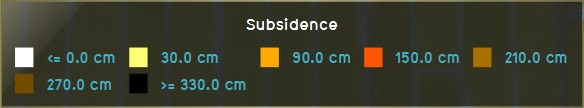
 Subsidence30-legend.jpg 574 × 108; 17 KB
 Subsidence60-legend.jpg 584 × 108; 18 KB
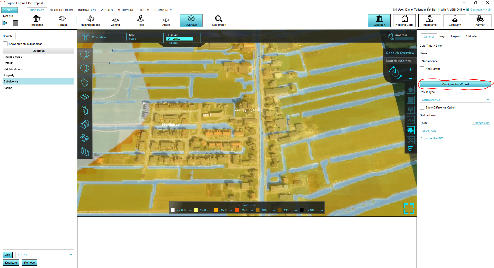 Subsidence overlay wizard.PNG 1,920 × 1,040; 1.42 MB
 Subsidence step1.png 734 × 304; 28 KB
 Subsidence step2.png 610 × 240; 29 KB
 Subsidence step3.png 592 × 304; 28 KB
 Subsidence step4.png 596 × 276; 20 KB
 Subsidence step5.png 600 × 254; 23 KB
 Subsidence step6.png 658 × 454; 39 KB
 Subsidence step7.png 614 × 218; 21 KB
 Subsidence step8.png 688 × 596; 40 KB
 Subsidence wiki2.png 100 × 100; 4 KB
 Subsidencewizard icon active drainage factor.png 100 × 100; 5 KB
 Subsidencewizard icon clay thickness.png 100 × 100; 3 KB
 Subsidencewizard icon climate start year.png 100 × 100; 6 KB
 Subsidencewizard icon drainage.png 100 × 100; 5 KB
 Subsidencewizard icon final temp.png 100 × 100; 5 KB
 Subsidencewizard icon hi ground water level.png 100 × 100; 8 KB
 Subsidencewizard icon hi ground water level area.png 100 × 100; 8 KB
 Subsidencewizard icon indexation.png 100 × 100; 4 KB
 Subsidencewizard icon low ground water level.png 100 × 100; 7 KB
 Subsidencewizard icon low ground water level area.png 100 × 100; 7 KB
 Subsidencewizard icon oxidation.png 100 × 100; 6 KB
 Subsidencewizard icon parameter a.png 100 × 100; 4 KB
 Subsidencewizard icon parameter b.png 100 × 100; 4 KB
 Subsidencewizard icon parameter c.png 100 × 100; 4 KB
 Subsidencewizard icon passive drainage factor.png 100 × 100; 5 KB
 Subsidencewizard icon peat fraction.png 100 × 100; 5 KB
 Subsidencewizard icon start temp.png 100 × 100; 5 KB
 Subsidencewizard icon start year.png 100 × 100; 5 KB
 Subsidencewizard icon subsidence.png 100 × 100; 3 KB
 Subsidencewizard icon subsidence area.png 100 × 100; 8 KB
 Subsidencewizard icon temp factor.png 100 × 100; 4 KB
 Subsidencewizard icon top layer thickness.png 100 × 100; 3 KB
 Subsidencewizard icon underground terrain.png 100 × 100; 6 KB
 Subsidencewizard icon water level.png 100 × 100; 4 KB
 Subsidencewizard icon water level area.png 100 × 100; 4 KB
 Subsidencewizard icon years.png 100 × 100; 5 KB


